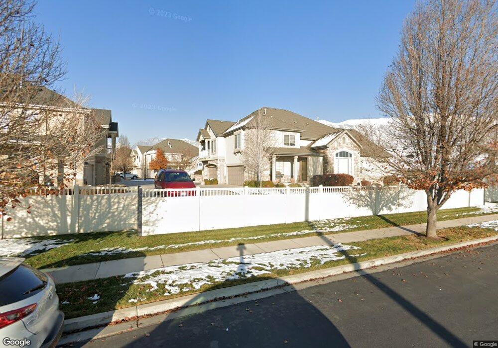
181 S 930 E Unit 210 American Fork, UT 84003
Estimated Value: $364,000 - $382,388
2
Beds
3
Baths
1,270
Sq Ft
$292/Sq Ft
Est. Value
About This Home
This home is located at 181 S 930 E Unit 210, American Fork, UT 84003 and is currently estimated at $370,597, approximately $291 per square foot. 181 S 930 E Unit 210 is a home located in Utah County with nearby schools including Barratt Elementary School, American Fork Junior High School, and American Fork High School.
Ownership History
Date
Name
Owned For
Owner Type
Purchase Details
Closed on
Feb 13, 2025
Sold by
Beck Land & Livestock Llc
Bought by
Round Bale 181S 930E Lls
Current Estimated Value
Purchase Details
Closed on
May 11, 2021
Sold by
Mills Jeffrey C and Mills Meri Lu
Bought by
Beck Land & Livestock Llc
Purchase Details
Closed on
May 31, 2016
Sold by
Preston William and Mills Meri Lu
Bought by
Mills Jeffrey C and Mills Meri Lu
Purchase Details
Closed on
Oct 5, 2007
Sold by
Garrett Lucille R
Bought by
Garrett Lucille R
Purchase Details
Closed on
Mar 2, 2007
Sold by
Haymaker Retreat Llc
Bought by
Garrett Lucille R
Create a Home Valuation Report for This Property
The Home Valuation Report is an in-depth analysis detailing your home's value as well as a comparison with similar homes in the area
Home Values in the Area
Average Home Value in this Area
Purchase History
| Date | Buyer | Sale Price | Title Company |
|---|---|---|---|
| Round Bale 181S 930E Lls | -- | None Listed On Document | |
| Beck Land & Livestock Llc | -- | First American | |
| Mills Jeffrey C | -- | Accommodation | |
| Garrett Lucille R | -- | None Available | |
| Garrett Lucille R | -- | Utah First Title Insurance |
Source: Public Records
Tax History Compared to Growth
Tax History
| Year | Tax Paid | Tax Assessment Tax Assessment Total Assessment is a certain percentage of the fair market value that is determined by local assessors to be the total taxable value of land and additions on the property. | Land | Improvement |
|---|---|---|---|---|
| 2025 | $1,670 | $195,030 | $39,400 | $315,200 |
| 2024 | $1,670 | $185,515 | $0 | $0 |
| 2023 | $1,627 | $191,675 | $0 | $0 |
| 2022 | $1,513 | $175,945 | $0 | $0 |
| 2021 | $1,456 | $264,400 | $31,700 | $232,700 |
| 2020 | $1,337 | $235,400 | $28,200 | $207,200 |
| 2019 | $1,231 | $224,200 | $26,600 | $197,600 |
| 2018 | $1,028 | $179,000 | $21,500 | $157,500 |
| 2017 | $954 | $89,650 | $0 | $0 |
| 2016 | $938 | $81,950 | $0 | $0 |
| 2015 | $962 | $79,750 | $0 | $0 |
| 2014 | $908 | $74,250 | $0 | $0 |
Source: Public Records
Map
Nearby Homes
- 152 S 930 E
- 1184 E 110 S
- 1198 E 110 S
- 759 W 930 N Unit 502
- 708 W 930 N Unit 505
- 734 W 930 N Unit 506
- 78 S 810 E
- 1879 W 1100 N
- 35 S 800 E
- 797 E 10 S
- 1088 E 390 S
- 359 S 780 E
- 1141 E 50 N
- 502 S 1040 E Unit 252
- 502 S 1040 E Unit 221
- 502 S 1040 E Unit 137
- 502 S 1040 E Unit 243
- 502 S 1040 E Unit 226
- 477 S 850 E
- 407 S 740 St E
- 181 S 930 E
- 185 S 930 E
- 183 S 930 E
- 185 S 930 E Unit 212
- 183 S 930 E Unit 211
- 184 S 930 E
- 184 S 930 E Unit 213
- 186 S 930 E Unit 214
- 188 S 930 E
- 188 S 930 E Unit 215
- 196 S 980 E
- 198 S 980 E
- 194 S 980 E
- 177 S 930 E Unit 209
- 173 S 930 E
- 173 S 930 E Unit 207
- 202 S 980 E
- 182 S 980 E
- 178 S 980 E
- 148 S 930 E