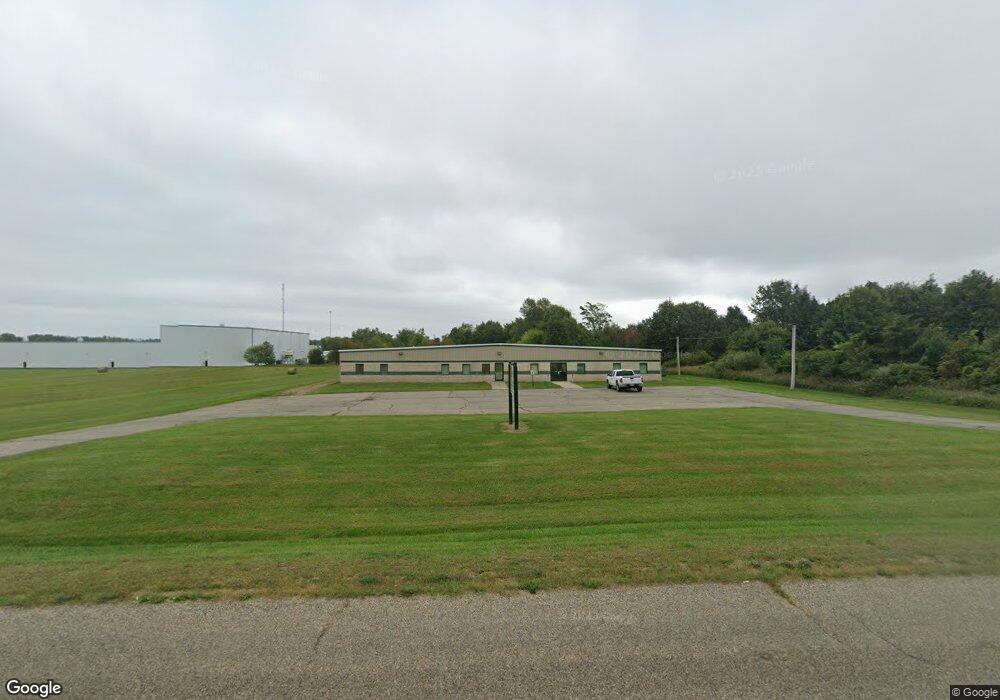
181 Simpson Dr Litchfield, MI 49252
Estimated Value: $436,058
Studio
--
Bath
9,600
Sq Ft
$45/Sq Ft
Est. Value
About This Home
This home is located at 181 Simpson Dr, Litchfield, MI 49252 and is currently estimated at $436,058, approximately $45 per square foot. 181 Simpson Dr is a home located in Hillsdale County with nearby schools including Litchfield Elementary School and Litchfield High School.
Ownership History
Date
Name
Owned For
Owner Type
Purchase Details
Closed on
Dec 15, 2014
Sold by
Kimberly A Nolan Revocable Trust and Nolan Kimberly A
Bought by
Litchfield Tax Increment Finance Authori
Current Estimated Value
Purchase Details
Closed on
Sep 19, 2008
Sold by
Hillsdale County National Bank
Bought by
Kimberly A Nolan Revocable Living Trust
Home Financials for this Owner
Home Financials are based on the most recent Mortgage that was taken out on this home.
Original Mortgage
$115,000
Interest Rate
6.55%
Mortgage Type
Seller Take Back
Purchase Details
Closed on
Jul 20, 1999
Bought by
Houchen Howard J and Houchen Mary A
Create a Home Valuation Report for This Property
The Home Valuation Report is an in-depth analysis detailing your home's value as well as a comparison with similar homes in the area
Purchase History
| Date | Buyer | Sale Price | Title Company |
|---|---|---|---|
| Litchfield Tax Increment Finance Authori | $225,000 | None Available | |
| Kimberly A Nolan Revocable Living Trust | $135,900 | None Available | |
| Houchen Howard J | $10,000 | -- |
Source: Public Records
Mortgage History
| Date | Status | Borrower | Loan Amount |
|---|---|---|---|
| Previous Owner | Kimberly A Nolan Revocable Living Trust | $115,000 |
Source: Public Records
Tax History
| Year | Tax Paid | Tax Assessment Tax Assessment Total Assessment is a certain percentage of the fair market value that is determined by local assessors to be the total taxable value of land and additions on the property. | Land | Improvement |
|---|---|---|---|---|
| 2025 | -- | $84,540 | $11,750 | $72,790 |
| 2024 | -- | $75,888 | $10,250 | $65,638 |
| 2023 | -- | $75,371 | $10,000 | $65,371 |
| 2022 | $0 | $93,402 | $14,000 | $79,402 |
| 2021 | $0 | $111,476 | $14,000 | $97,476 |
| 2020 | $0 | $112,919 | $13,000 | $99,919 |
| 2019 | $0 | $111,794 | $10,500 | $101,294 |
| 2018 | $0 | $0 | $0 | $0 |
| 2017 | -- | $0 | $0 | $0 |
| 2016 | -- | $0 | $0 | $0 |
| 2015 | -- | $0 | $0 | $0 |
| 2013 | $1,854 | $90,000 | $0 | $0 |
| 2012 | $1,811 | $90,000 | $0 | $0 |
Source: Public Records
Map
Nearby Homes
- 203 Marshall St
- 212 Marshall St
- 103 Cottonwood Ct
- 104 Cottonwood Ct
- 105 Cottonwood Ct
- 217 Birch St
- 0 W Mosherville Rd Unit 25057378
- 11695 Riker Rd
- 1247 Coplin Rd
- 1233 Robinson Rd
- 11850 Cook Rd
- 25500 U Dr S
- 3250 W Hastings Lake Rd
- 2752 W Mosherville Rd
- 309 Highland St
- 616 Holly Ct
- 107 Pine Dr
- 10091 Concord Rd
- 400 Parkwood Dr
- 1023 Burbank Rd
- 7851 Herring Rd
- 7651 Herring Rd
- 1194 Clarendon Rd
- M-49 Anderson Rd
- 00 N Cronk Rd
- 928 Anderson Rd
- 8120 Herring Rd
- 8998 Anderson Rd
- 917 Anderson Rd
- 0 Anderson Rd Unit 16047513
- 0 Anderson Rd Unit 4717880
- 0 Anderson Rd Unit 5418588
- 0 Anderson Rd Unit 5495686
- 0 Anderson Rd Unit 15040259
- 0 Anderson Rd Unit 62021014335
- 0 Anderson Rd Unit 53015040259
- 0 Anderson Rd Unit 53016016341
- 0 Anderson Rd Unit 21014335
- 0 Anderson Rd Unit 19048749
- 0 Anderson Rd Unit 16016341
Your Personal Tour Guide
Ask me questions while you tour the home.