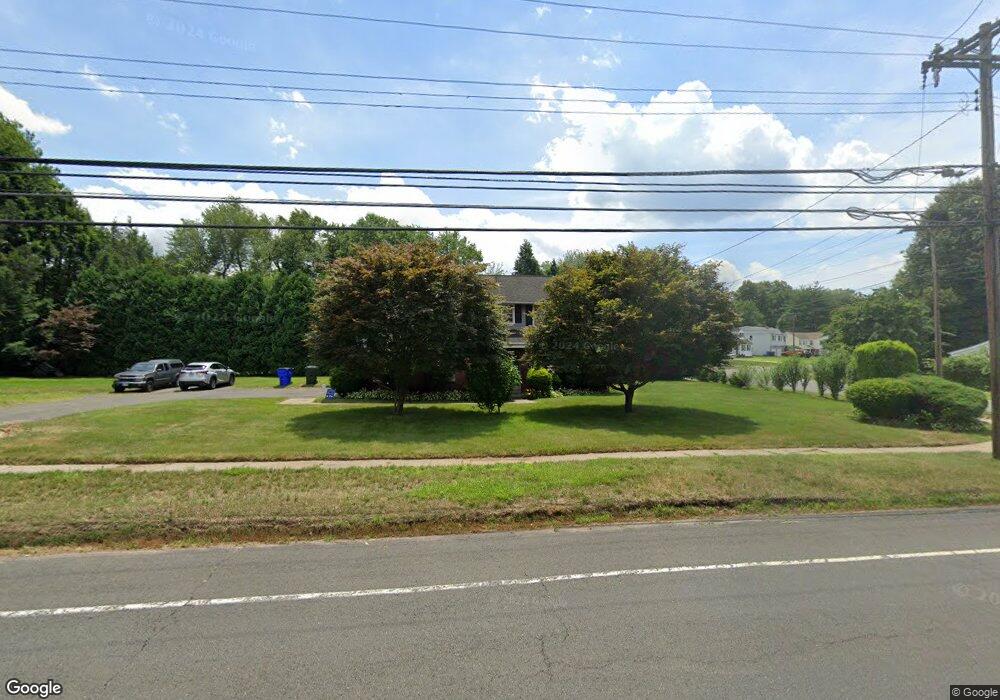
181 Simsbury Rd West Hartford, CT 06117
Estimated Value: $441,000 - $458,000
3
Beds
3
Baths
1,442
Sq Ft
$310/Sq Ft
Est. Value
About This Home
This home is located at 181 Simsbury Rd, West Hartford, CT 06117 and is currently estimated at $446,601, approximately $309 per square foot. 181 Simsbury Rd is a home located in Hartford County with nearby schools including Aiken School, King Philip Middle School, and Hall High School.
Ownership History
Date
Name
Owned For
Owner Type
Purchase Details
Closed on
Mar 28, 2025
Sold by
Lyles Ronald E
Bought by
Malone Marva D
Current Estimated Value
Purchase Details
Closed on
Jul 5, 2005
Sold by
Mtg Guaranty Insuran C
Bought by
Lyles Ronald E and Malone-Lyles Marva
Home Financials for this Owner
Home Financials are based on the most recent Mortgage that was taken out on this home.
Original Mortgage
$255,983
Interest Rate
5.73%
Purchase Details
Closed on
Apr 16, 1999
Sold by
Kravac Mary S
Bought by
Mccarthy Thomas E and Mccarthy Terri L
Create a Home Valuation Report for This Property
The Home Valuation Report is an in-depth analysis detailing your home's value as well as a comparison with similar homes in the area
Home Values in the Area
Average Home Value in this Area
Purchase History
| Date | Buyer | Sale Price | Title Company |
|---|---|---|---|
| Malone Marva D | -- | None Available | |
| Malone Marva D | -- | None Available | |
| Lyles Ronald E | $260,000 | -- | |
| Lyles Ronald E | $260,000 | -- | |
| Mccarthy Thomas E | $150,500 | -- | |
| Mccarthy Thomas E | $150,500 | -- |
Source: Public Records
Mortgage History
| Date | Status | Borrower | Loan Amount |
|---|---|---|---|
| Previous Owner | Mccarthy Thomas E | $255,983 | |
| Previous Owner | Mccarthy Thomas E | $196,000 | |
| Previous Owner | Mccarthy Thomas E | $160,353 |
Source: Public Records
Tax History Compared to Growth
Tax History
| Year | Tax Paid | Tax Assessment Tax Assessment Total Assessment is a certain percentage of the fair market value that is determined by local assessors to be the total taxable value of land and additions on the property. | Land | Improvement |
|---|---|---|---|---|
| 2025 | $8,605 | $192,170 | $64,700 | $127,470 |
| 2024 | $8,138 | $192,170 | $64,700 | $127,470 |
| 2023 | $7,864 | $192,170 | $64,700 | $127,470 |
| 2022 | $7,817 | $192,170 | $64,700 | $127,470 |
| 2021 | $6,702 | $157,990 | $58,200 | $99,790 |
| 2020 | $6,604 | $157,990 | $51,700 | $106,290 |
| 2019 | $6,604 | $157,990 | $51,730 | $106,260 |
| 2018 | $6,478 | $157,990 | $51,730 | $106,260 |
| 2017 | $6,484 | $157,990 | $51,730 | $106,260 |
| 2016 | $6,347 | $160,650 | $52,150 | $108,500 |
| 2015 | $6,155 | $160,650 | $52,150 | $108,500 |
| 2014 | $6,003 | $160,650 | $52,150 | $108,500 |
Source: Public Records
Map
Nearby Homes
- 6 Lyman Rd
- 11 Westbrook Rd
- 2 Croydon Dr
- 55 Kenwood Cir
- 645 Bloomfield Ave
- 1 King Philip Dr Unit 207
- 7 Sequin Rd
- 3 Pilgrim Rd
- 94 Richmond Ln
- 320 N Steele Rd
- 165 Bloomfield Ave
- 30 Farmstead Ln
- 11 Rye Ridge Pkwy
- 11 Lawler Rd
- 111 Bloomfield Ave
- 5 Northmoor Rd
- 2581 Albany Ave
- 12 Garrison Terrace
- 62 Blue Ridge Ln
- 21 Barksdale Rd
- 3 Brownleigh Rd
- 173 Simsbury Rd
- 5 Brownleigh Rd
- 185 Simsbury Rd
- 14 Hilldale Rd
- 16 Hilldale Rd
- 9 Brownleigh Rd
- 165 Simsbury Rd
- 10 Hilldale Rd
- 189 Simsbury Rd
- 20 Hilldale Rd
- 8 Hilldale Rd
- 22 Hilldale Rd
- 11 Brownleigh Rd
- 4 Hilldale Rd
- 193 Simsbury Rd
- 26 Hilldale Rd
- 17 Brownleigh Rd
- 213 Mohegan Dr
- 14 Brownleigh Rd