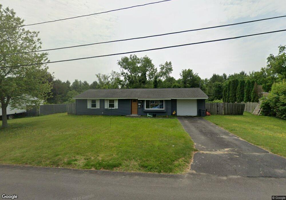
181 Southfield Dr Brockton, MA 02302
Estimated Value: $329,000 - $485,000
4
Beds
1
Bath
1,162
Sq Ft
$376/Sq Ft
Est. Value
About This Home
This home is located at 181 Southfield Dr, Brockton, MA 02302 and is currently estimated at $436,607, approximately $375 per square foot. 181 Southfield Dr is a home located in Plymouth County with nearby schools including Davis K-8 School, John F. Kennedy Elementary School, and South Middle School.
Ownership History
Date
Name
Owned For
Owner Type
Purchase Details
Closed on
Jan 20, 2009
Sold by
Platt Raysean L
Bought by
Allen Christopher L and Allen Amanda
Current Estimated Value
Home Financials for this Owner
Home Financials are based on the most recent Mortgage that was taken out on this home.
Original Mortgage
$139,244
Outstanding Balance
$89,600
Interest Rate
5.52%
Mortgage Type
Purchase Money Mortgage
Estimated Equity
$347,007
Purchase Details
Closed on
Nov 30, 2005
Sold by
Block Steven J
Bought by
Platt Raysean L
Home Financials for this Owner
Home Financials are based on the most recent Mortgage that was taken out on this home.
Original Mortgage
$236,300
Interest Rate
6.14%
Mortgage Type
Purchase Money Mortgage
Create a Home Valuation Report for This Property
The Home Valuation Report is an in-depth analysis detailing your home's value as well as a comparison with similar homes in the area
Home Values in the Area
Average Home Value in this Area
Purchase History
| Date | Buyer | Sale Price | Title Company |
|---|---|---|---|
| Allen Christopher L | $140,000 | -- | |
| Platt Raysean L | $278,000 | -- |
Source: Public Records
Mortgage History
| Date | Status | Borrower | Loan Amount |
|---|---|---|---|
| Open | Platt Raysean L | $139,244 | |
| Previous Owner | Platt Raysean L | $236,300 |
Source: Public Records
Tax History Compared to Growth
Tax History
| Year | Tax Paid | Tax Assessment Tax Assessment Total Assessment is a certain percentage of the fair market value that is determined by local assessors to be the total taxable value of land and additions on the property. | Land | Improvement |
|---|---|---|---|---|
| 2025 | $4,783 | $395,000 | $160,500 | $234,500 |
| 2024 | $4,599 | $382,600 | $160,500 | $222,100 |
| 2023 | $4,425 | $340,900 | $110,800 | $230,100 |
| 2022 | $4,120 | $294,900 | $100,700 | $194,200 |
| 2021 | $4,060 | $280,000 | $93,600 | $186,400 |
| 2020 | $4,025 | $265,700 | $82,100 | $183,600 |
| 2019 | $3,649 | $234,800 | $78,400 | $156,400 |
| 2018 | $3,469 | $216,000 | $78,400 | $137,600 |
| 2017 | $2,887 | $179,300 | $78,400 | $100,900 |
| 2016 | $2,748 | $158,300 | $74,700 | $83,600 |
| 2015 | $2,635 | $145,200 | $74,700 | $70,500 |
| 2014 | $2,607 | $143,800 | $74,700 | $69,100 |
Source: Public Records
Map
Nearby Homes
- 189 Southfield Dr
- 173 Southfield Dr
- 180 Southfield Dr
- 188 Southfield Dr
- 197 Southfield Dr
- 170 Southfield Dr
- 165 Southfield Dr
- 196 Southfield Dr
- 23 Nessralla Dr
- 160 Southfield Dr
- 31 Nessralla Dr
- 15 Nessralla Dr
- 157 Southfield Dr
- 204 Southfield Dr
- 39 Nessralla Dr
- 150 Southfield Dr
- 213 Southfield Dr
- 149 Southfield Dr
- 212 Southfield Dr
- 28 Nessralla Dr