181 Stoney Point Dr Port Matilda, PA 16870
Patton NeighborhoodEstimated Value: $611,000 - $717,000
4
Beds
3
Baths
3,155
Sq Ft
$209/Sq Ft
Est. Value
About This Home
This home is located at 181 Stoney Point Dr, Port Matilda, PA 16870 and is currently estimated at $660,554, approximately $209 per square foot. 181 Stoney Point Dr is a home with nearby schools including Gray's Woods Elementary School, Park Forest Middle School, and State College Area High School.
Ownership History
Date
Name
Owned For
Owner Type
Purchase Details
Closed on
Jun 16, 2020
Sold by
Mccormick Reed
Bought by
Stupar Robert D and Stupar Kathryn C
Current Estimated Value
Home Financials for this Owner
Home Financials are based on the most recent Mortgage that was taken out on this home.
Original Mortgage
$64,875
Interest Rate
3.1%
Mortgage Type
Closed End Mortgage
Create a Home Valuation Report for This Property
The Home Valuation Report is an in-depth analysis detailing your home's value as well as a comparison with similar homes in the area
Home Values in the Area
Average Home Value in this Area
Purchase History
| Date | Buyer | Sale Price | Title Company |
|---|---|---|---|
| Stupar Robert D | $86,500 | None Available |
Source: Public Records
Mortgage History
| Date | Status | Borrower | Loan Amount |
|---|---|---|---|
| Previous Owner | Stupar Robert D | $64,875 |
Source: Public Records
Tax History Compared to Growth
Tax History
| Year | Tax Paid | Tax Assessment Tax Assessment Total Assessment is a certain percentage of the fair market value that is determined by local assessors to be the total taxable value of land and additions on the property. | Land | Improvement |
|---|---|---|---|---|
| 2025 | $8,672 | $124,485 | $21,780 | $102,705 |
| 2024 | $8,090 | $124,485 | $21,780 | $102,705 |
| 2023 | $8,090 | $124,485 | $21,780 | $102,705 |
| 2022 | $7,896 | $124,485 | $21,780 | $102,705 |
| 2021 | $1,381 | $21,780 | $21,780 | $0 |
| 2020 | $2,938 | $46,325 | $46,325 | $0 |
| 2019 | $2,135 | $46,325 | $46,325 | $0 |
| 2018 | $2,848 | $46,325 | $46,325 | $0 |
| 2017 | $2,817 | $46,325 | $46,325 | $0 |
| 2016 | -- | $46,325 | $46,325 | $0 |
| 2015 | -- | $46,325 | $46,325 | $0 |
Source: Public Records
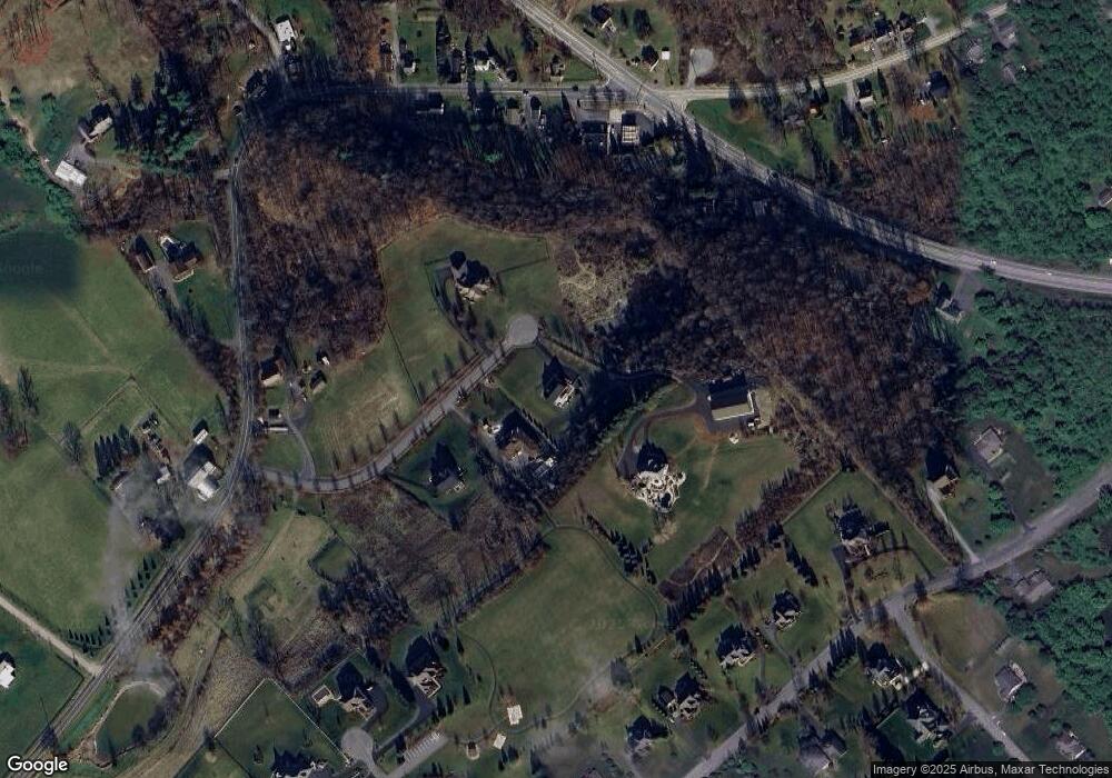
Map
Nearby Homes
- 108 Heiskel Dr
- 111 Wildernest Ln
- 107 Wildernest Ln
- 112 Harvard Rd
- 111 Harvard Rd
- 95 Greenmeadow Ln
- 140 Pinewood Place
- 113 Manhasset Dr
- 190 Michael Rd
- 112 Montauk Cir
- 179 Buck Moth Way
- Brandywine Plan at Grays Pointe - Single Family Homes
- Dartmouth Plan at Grays Pointe - Single Family Homes
- Crestmont Plan at Grays Pointe - Single Family Homes
- Charlotte Plan at Grays Pointe - Single Family Homes
- Elmcrest Plan at Grays Pointe - Single Family Homes
- Bayberry Plan at Grays Pointe - Single Family Homes
- Aspen Plan at Grays Pointe - Single Family Homes
- Fairmont Plan at Grays Pointe - Single Family Homes
- Monroe Plan at Grays Pointe - Single Family Homes
- 161 Stoney Point Dr
- 191 Stoney Point Dr
- 151 Stoney Point Dr
- 190 Stoney Point Dr
- Lot 7 Stoney Point Dr
- Lot 4 Stoney Point Dr
- Lot 5 Stoney Point Dr
- 140 Stoney Point Dr
- 3902 N Atherton St
- 5168 W Buffalo Run Rd
- 3886 N Atherton St
- 120 Stoney Point Dr
- 5164 W Buffalo Run Rd
- 5156 W Buffalo Run Rd
- 5186 W Buffalo Run Rd
- 171 Ambleside Ct
- 5151 W Buffalo Run Rd
- 184 Skytop Ln
- 192 Skytop Ln
- 222 Skytop Ln