181 Swallow Point Jasper, GA 30143
Big Canoe NeighborhoodEstimated Value: $602,000 - $868,000
Studio
--
Bath
3,168
Sq Ft
$229/Sq Ft
Est. Value
About This Home
This home is located at 181 Swallow Point, Jasper, GA 30143 and is currently estimated at $723,962, approximately $228 per square foot. 181 Swallow Point is a home with nearby schools including Tate Elementary School, Pickens County Middle School, and Pickens County High School.
Ownership History
Date
Name
Owned For
Owner Type
Purchase Details
Closed on
Mar 26, 2013
Sold by
Malgeri John N
Bought by
Malgeri Linda M
Current Estimated Value
Home Financials for this Owner
Home Financials are based on the most recent Mortgage that was taken out on this home.
Original Mortgage
$228,000
Outstanding Balance
$39,289
Interest Rate
3.52%
Mortgage Type
New Conventional
Estimated Equity
$684,673
Purchase Details
Closed on
Nov 1, 2005
Sold by
Malgeri John N
Bought by
Malgeri Linda M
Purchase Details
Closed on
Mar 18, 2002
Sold by
Curtis Daniel B
Bought by
Malgeri John N
Purchase Details
Closed on
Jan 1, 1981
Sold by
Big Canoe
Bought by
Curtis Daniel B
Create a Home Valuation Report for This Property
The Home Valuation Report is an in-depth analysis detailing your home's value as well as a comparison with similar homes in the area
Home Values in the Area
Average Home Value in this Area
Purchase History
| Date | Buyer | Sale Price | Title Company |
|---|---|---|---|
| Malgeri Linda M | -- | -- | |
| Malgeri Linda M | -- | -- | |
| Malgeri Linda M | -- | -- | |
| Malgeri John N | $495,000 | -- | |
| Curtis Daniel B | -- | -- |
Source: Public Records
Mortgage History
| Date | Status | Borrower | Loan Amount |
|---|---|---|---|
| Open | Malgeri Linda M | $228,000 | |
| Closed | Malgeri Linda M | $228,000 |
Source: Public Records
Tax History
| Year | Tax Paid | Tax Assessment Tax Assessment Total Assessment is a certain percentage of the fair market value that is determined by local assessors to be the total taxable value of land and additions on the property. | Land | Improvement |
|---|---|---|---|---|
| 2025 | $4,185 | $243,876 | $100,000 | $143,876 |
| 2024 | $4,659 | $240,420 | $100,000 | $140,420 |
| 2023 | $4,788 | $240,420 | $100,000 | $140,420 |
| 2022 | $4,788 | $240,420 | $100,000 | $140,420 |
| 2021 | $5,130 | $240,420 | $100,000 | $140,420 |
| 2020 | $5,284 | $240,420 | $100,000 | $140,420 |
| 2019 | $4,812 | $207,569 | $100,000 | $107,569 |
| 2018 | $4,695 | $207,569 | $100,000 | $107,569 |
| 2017 | $4,771 | $207,569 | $100,000 | $107,569 |
| 2016 | $4,926 | $210,869 | $100,000 | $110,869 |
| 2015 | $4,812 | $210,869 | $100,000 | $110,869 |
| 2014 | $4,822 | $210,869 | $100,000 | $110,869 |
| 2013 | -- | $210,718 | $100,000 | $110,718 |
Source: Public Records
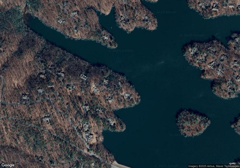
Map
Nearby Homes
- 81 Flycatcher Point
- 1150 Swallow Point
- 10 Buckskull Ct
- 255 Indigo Bunting Trail
- 132 Buckskull Hollow Dr
- 202 Buckskull Hollow Dr
- 40 Treetopper Ln
- 1023 Sparrows Nest
- 101 Treetopper Cir
- 141 Treetop Knoll Dr
- 35 Treetop Knoll Dr
- 150 Treetopper Cir
- 125 Wolfscratch Dr
- 135 Wolfscratch Dr
- 51 Indigo Bunting Trail
- 120 Mallard Cove Cir
- 640 Quail Cove Dr
- 626 Petit Ridge Dr
- 23 Laurel Ridge Trail
- 1033 Quail Cove Dr
- 190 Swallow Point
- 153 Swallow Point
- 170 Swallow Point Unit 1156
- 150 Swallow Point
- 1033 Robins Nest
- 1138 Robins Nest
- 1131 Robins Nest
- 1074 Robins Nest Unit NEST
- 90 Swallow Point
- 95 Swallow Point
- 84 Flycatcher Point
- 45 Flycatcher Point
- 1165 Fly Catcher Point
- 1033 Owl's Brow
- 52 Swallow Point
- 106 Petit Ridge Dr
- 106 Pettit Rd
- 248 Robins Nest Unit 1135
- 248 Robins Nest
- 74 Petit Ridge Dr
Your Personal Tour Guide
Ask me questions while you tour the home.