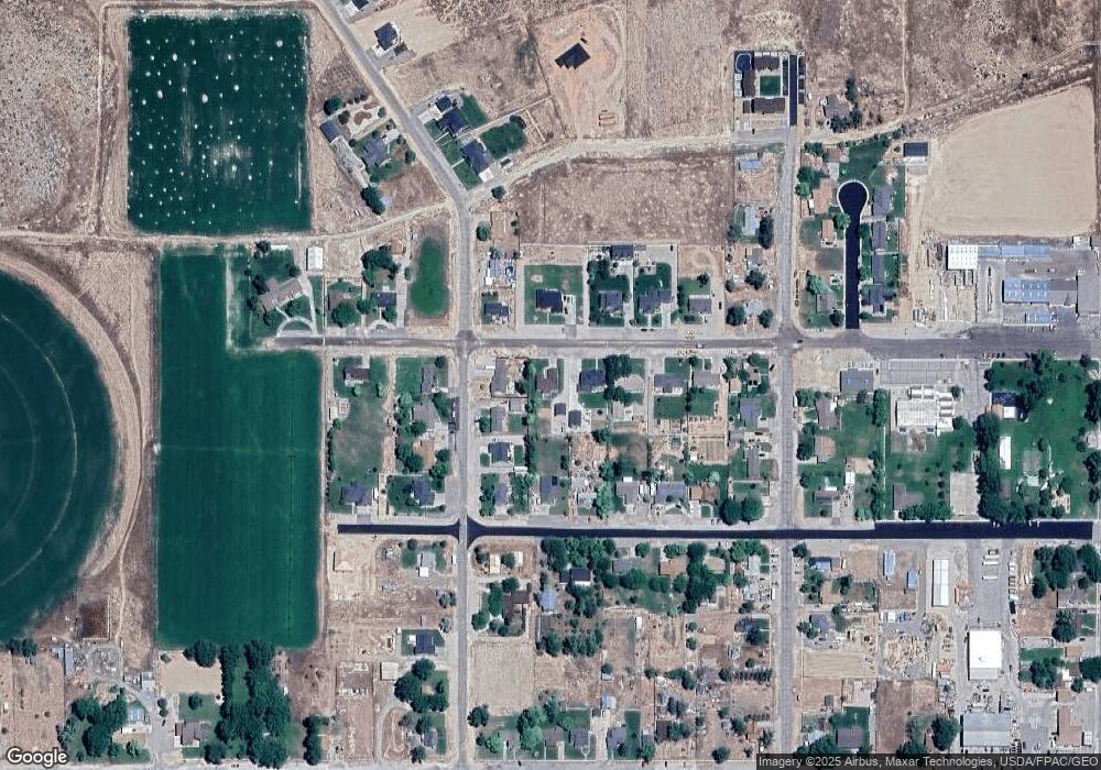
181 W 300 N Gunnison, UT 84634
Gunnison NeighborhoodEstimated Value: $371,000 - $403,000
4
Beds
3
Baths
1,836
Sq Ft
$210/Sq Ft
Est. Value
About This Home
This home is located at 181 W 300 N, Gunnison, UT 84634 and is currently estimated at $386,140, approximately $210 per square foot. 181 W 300 N is a home located in Sanpete County.
Ownership History
Date
Name
Owned For
Owner Type
Purchase Details
Closed on
Nov 5, 2021
Sold by
Wanner Michael and Wanner Mekesha
Bought by
Furden Charles R
Current Estimated Value
Home Financials for this Owner
Home Financials are based on the most recent Mortgage that was taken out on this home.
Original Mortgage
$248,000
Outstanding Balance
$227,501
Interest Rate
3.07%
Mortgage Type
Construction
Estimated Equity
$158,639
Purchase Details
Closed on
Nov 17, 2010
Sold by
Willden Jason A
Bought by
Christensen Real Estate Holdings Llc
Purchase Details
Closed on
Jan 10, 2005
Sold by
Meacham Cristy
Bought by
Willden Jason A
Create a Home Valuation Report for This Property
The Home Valuation Report is an in-depth analysis detailing your home's value as well as a comparison with similar homes in the area
Home Values in the Area
Average Home Value in this Area
Purchase History
| Date | Buyer | Sale Price | Title Company |
|---|---|---|---|
| Furden Charles R | $310,000 | Novation Title Ins Agcy | |
| Christensen Real Estate Holdings Llc | -- | -- | |
| Willden Jason A | -- | -- |
Source: Public Records
Mortgage History
| Date | Status | Borrower | Loan Amount |
|---|---|---|---|
| Open | Furden Charles R | $248,000 |
Source: Public Records
Tax History Compared to Growth
Tax History
| Year | Tax Paid | Tax Assessment Tax Assessment Total Assessment is a certain percentage of the fair market value that is determined by local assessors to be the total taxable value of land and additions on the property. | Land | Improvement |
|---|---|---|---|---|
| 2024 | $2,063 | $186,925 | $0 | $0 |
| 2023 | $2,185 | $184,788 | $0 | $0 |
| 2022 | $2,113 | $164,990 | $0 | $0 |
| 2021 | $1,962 | $132,512 | $0 | $0 |
| 2020 | $1,717 | $108,803 | $0 | $0 |
| 2019 | $1,645 | $101,652 | $0 | $0 |
| 2018 | $1,551 | $165,577 | $24,640 | $140,937 |
| 2017 | $1,472 | $91,067 | $0 | $0 |
| 2016 | $1,392 | $86,144 | $0 | $0 |
| 2015 | $1,394 | $86,144 | $0 | $0 |
| 2014 | $1,372 | $86,144 | $0 | $0 |
| 2013 | $1,371 | $86,331 | $0 | $0 |
Source: Public Records
Map
Nearby Homes