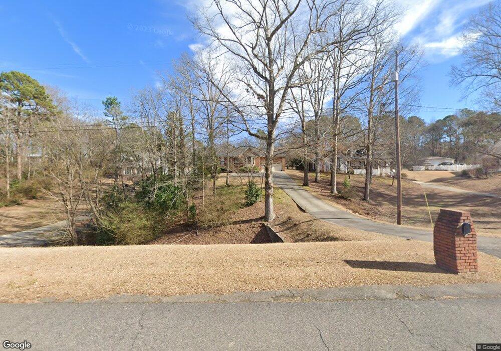
181 W Shugart Ridge Rd Gardendale, AL 35071
Estimated Value: $289,557 - $329,000
3
Beds
2
Baths
1,680
Sq Ft
$185/Sq Ft
Est. Value
About This Home
This home is located at 181 W Shugart Ridge Rd, Gardendale, AL 35071 and is currently estimated at $310,639, approximately $184 per square foot. 181 W Shugart Ridge Rd is a home located in Jefferson County with nearby schools including Gardendale Elementary School, Bragg Middle School, and Gardendale High School.
Ownership History
Date
Name
Owned For
Owner Type
Purchase Details
Closed on
Aug 1, 2008
Sold by
Brasher James L and Brasher Sara M
Bought by
Parrish John David and Parrish Heather Lynn
Current Estimated Value
Home Financials for this Owner
Home Financials are based on the most recent Mortgage that was taken out on this home.
Original Mortgage
$209,250
Interest Rate
6.31%
Mortgage Type
Purchase Money Mortgage
Create a Home Valuation Report for This Property
The Home Valuation Report is an in-depth analysis detailing your home's value as well as a comparison with similar homes in the area
Home Values in the Area
Average Home Value in this Area
Purchase History
| Date | Buyer | Sale Price | Title Company |
|---|---|---|---|
| Parrish John David | $232,500 | None Available |
Source: Public Records
Mortgage History
| Date | Status | Borrower | Loan Amount |
|---|---|---|---|
| Closed | Parrish John David | $209,250 |
Source: Public Records
Tax History Compared to Growth
Tax History
| Year | Tax Paid | Tax Assessment Tax Assessment Total Assessment is a certain percentage of the fair market value that is determined by local assessors to be the total taxable value of land and additions on the property. | Land | Improvement |
|---|---|---|---|---|
| 2024 | $1,472 | $27,320 | -- | -- |
| 2022 | $1,196 | $20,780 | $4,830 | $15,950 |
| 2021 | $1,026 | $17,950 | $4,830 | $13,120 |
| 2020 | $1,019 | $17,830 | $4,830 | $13,000 |
| 2019 | $948 | $16,660 | $0 | $0 |
| 2018 | $1,072 | $18,720 | $0 | $0 |
| 2017 | $1,078 | $18,820 | $0 | $0 |
| 2016 | $1,165 | $20,260 | $0 | $0 |
| 2015 | $1,119 | $19,500 | $0 | $0 |
| 2014 | $914 | $19,500 | $0 | $0 |
| 2013 | $914 | $19,500 | $0 | $0 |
Source: Public Records
Map
Nearby Homes
- 716 Kerr Dr
- 118 Cluster Springs Cir
- 520 Parks Rd
- 1515 Clover Ave
- 1522 Clover Ave
- 709 Odum Rd
- 5236 Stevens Ct
- 658 Odum Rd
- 5190 Memory Ln
- 4507 Shady Grove Rd
- 5253 Stevens Ct
- 873 Fieldstown Cir
- 5113 Biddle Cir Unit Lot
- 5301 Stevens Ct
- 890 Fieldstown Cir
- 165 Cluster Springs Cir
- 4848 Cornelius Dr
- 561 Gary Dr
- 164 Summit Blvd
- 420 Redmayne Rd
- 175 W Shugart Ridge Rd
- 185 W Shugart Ridge Rd
- 516 Oldfield Dr
- 169 W Shugart Ridge Rd
- 189 W Shugart Ridge Rd
- 508 Oldfield Dr
- 500 Oldfield Dr
- 176 W Shugart Ridge Rd
- 157 W Shugart Ridge Rd
- 168 W Shugart Ridge Rd
- 184 W Shugart Ridge Rd
- 158 W Shugart Ridge Rd
- 158 W Shugart Ridge Rd Unit 4A
- 517 Oldfield Dr
- 502 Oldfield Dr
- 154 W Shugart Ridge Rd
- 149 W Shugart Ridge Rd
- 150 W Shugart Ridge Rd
- 206 W Shugart Ridge Rd
- 204 W Shugart Ridge Rd