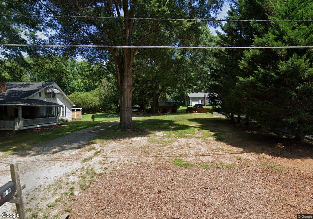
181 Wayside Dr Winston Salem, NC 27107
Estimated Value: $87,000 - $134,000
1
Bed
1
Bath
546
Sq Ft
$188/Sq Ft
Est. Value
About This Home
This home is located at 181 Wayside Dr, Winston Salem, NC 27107 and is currently estimated at $102,401, approximately $187 per square foot. 181 Wayside Dr is a home located in Forsyth County with nearby schools including Hall-Woodward Elementary School, Southeast Middle School, and R.B. Glenn High School.
Ownership History
Date
Name
Owned For
Owner Type
Purchase Details
Closed on
Aug 5, 2024
Sold by
Hedrick Elisa D
Bought by
Hedrick John C
Current Estimated Value
Purchase Details
Closed on
Jul 31, 2009
Sold by
Dunn Wilford E and Dunn Cathy M
Bought by
Hedrick John C and Hedrick Elisa D
Purchase Details
Closed on
Jul 29, 1999
Sold by
Sidden Randall K and Sidden Susan W
Bought by
Dunn Wilford E and Dunn Cathy M
Home Financials for this Owner
Home Financials are based on the most recent Mortgage that was taken out on this home.
Original Mortgage
$24,000
Interest Rate
7.28%
Mortgage Type
Purchase Money Mortgage
Create a Home Valuation Report for This Property
The Home Valuation Report is an in-depth analysis detailing your home's value as well as a comparison with similar homes in the area
Home Values in the Area
Average Home Value in this Area
Purchase History
| Date | Buyer | Sale Price | Title Company |
|---|---|---|---|
| Hedrick John C | -- | None Listed On Document | |
| Hedrick John C | -- | None Listed On Document | |
| Hedrick John C | $20,000 | None Available | |
| Dunn Wilford E | $59,000 | -- |
Source: Public Records
Mortgage History
| Date | Status | Borrower | Loan Amount |
|---|---|---|---|
| Previous Owner | Dunn Wilford E | $24,000 |
Source: Public Records
Tax History Compared to Growth
Tax History
| Year | Tax Paid | Tax Assessment Tax Assessment Total Assessment is a certain percentage of the fair market value that is determined by local assessors to be the total taxable value of land and additions on the property. | Land | Improvement |
|---|---|---|---|---|
| 2025 | $398 | $83,500 | $21,400 | $62,100 |
| 2024 | $380 | $28,400 | $13,100 | $15,300 |
| 2023 | $380 | $28,400 | $13,100 | $15,300 |
| 2022 | $373 | $28,400 | $13,100 | $15,300 |
| 2021 | $366 | $28,400 | $13,100 | $15,300 |
| 2020 | $380 | $27,500 | $12,000 | $15,500 |
| 2019 | $383 | $27,500 | $12,000 | $15,500 |
| 2018 | $363 | $27,500 | $12,000 | $15,500 |
| 2016 | $275 | $20,946 | $7,200 | $13,746 |
| 2015 | $271 | $20,946 | $7,200 | $13,746 |
| 2014 | $263 | $20,946 | $7,200 | $13,746 |
Source: Public Records
Map
Nearby Homes
- 3514 Landis St SE
- 3520 Landis St SE
- 3532 Landis St SE
- 3538 Landis St SE
- 3544 Landis St SE
- 3422 Robindale Dr
- 3428 Robindale Dr
- 3435 Robindale Dr
- 421 Robindale Ct
- 3441 Robindale Dr
- 3458 Robindale Dr
- 3447 Robindale Dr
- 3453 Robindale Dr
- 3471 Robindale Dr
- 3598 Robindale Dr
- 137 Vogler Dr
- 301 Bedford Park Dr
- Ashe Plan at Robindale
- Erie Plan at Robindale
- Camden Plan at Robindale
- 183 Wayside Dr
- 173 Wayside Dr
- 147 Wayside Dr
- 176 Wayside Dr
- 160 Wayside Dr
- 3800 Thornaby Cir
- 3810 Thornaby Cir
- 3790 Thornaby Cir
- 3790 Thornaby Cir Unit 47
- 144 Wayside Dr
- 139 Wayside Dr
- 3820 Thornaby Cir
- 3780 Thornaby Cir
- 3526 Landis St SE
- 3770 Thornaby Cir
- 3830 Thornaby Cir
- 347 Wayside Dr
- 224 Wayside Dr
- 311 Wayside Dr
- 220 Taunton Dr