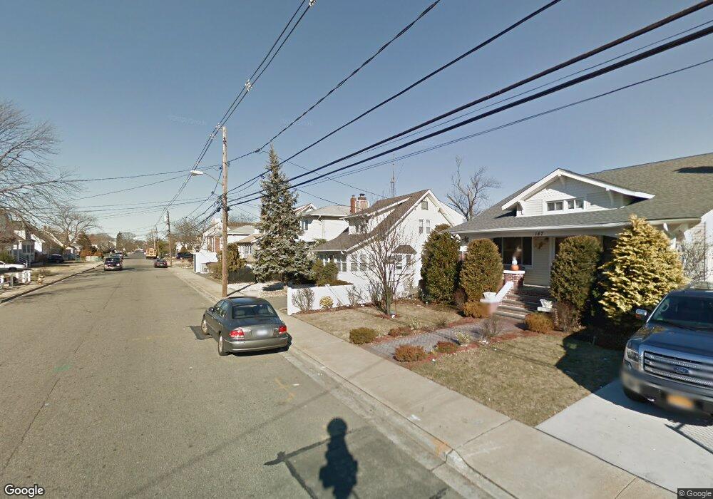
181 Westside Ave Freeport, NY 11520
Estimated Value: $799,368 - $904,000
Studio
4
Baths
2,145
Sq Ft
$397/Sq Ft
Est. Value
About This Home
This home is located at 181 Westside Ave, Freeport, NY 11520 and is currently estimated at $851,684, approximately $397 per square foot. 181 Westside Ave is a home located in Nassau County with nearby schools including Columbus Avenue School, Caroline G. Atkinson Intermediate School, and John W Dodd Middle School.
Ownership History
Date
Name
Owned For
Owner Type
Purchase Details
Closed on
Aug 16, 1996
Sold by
Fernandez Robert
Bought by
Rodriguez Roberto and Rodriguez Lupita
Current Estimated Value
Home Financials for this Owner
Home Financials are based on the most recent Mortgage that was taken out on this home.
Original Mortgage
$225,000
Outstanding Balance
$17,738
Interest Rate
8.18%
Estimated Equity
$833,946
Create a Home Valuation Report for This Property
The Home Valuation Report is an in-depth analysis detailing your home's value as well as a comparison with similar homes in the area
Home Values in the Area
Average Home Value in this Area
Purchase History
| Date | Buyer | Sale Price | Title Company |
|---|---|---|---|
| Rodriguez Roberto | $300,000 | -- |
Source: Public Records
Mortgage History
| Date | Status | Borrower | Loan Amount |
|---|---|---|---|
| Open | Rodriguez Roberto | $225,000 |
Source: Public Records
Tax History
| Year | Tax Paid | Tax Assessment Tax Assessment Total Assessment is a certain percentage of the fair market value that is determined by local assessors to be the total taxable value of land and additions on the property. | Land | Improvement |
|---|---|---|---|---|
| 2025 | $11,243 | $563 | $180 | $383 |
| 2024 | $1,212 | $563 | $180 | $383 |
Source: Public Records
Map
Nearby Homes
- 160 Saint Marks Ave
- 173 Cedar St
- 226 Westside Ave Unit B
- 267 Roosevelt Ave
- 265 Roosevelt Ave
- 587 S Bayview Ave
- 119 S Bay Ave
- 322 Miller Ave
- 310 Miller Ave
- 463 S Bayview Ave
- 292 Westside Ave
- 494 S Ocean Ave Unit 1M
- 494 S Ocean Ave Unit 1H
- 494 S Ocean Ave Unit 3A
- 48 Saint Marks Ave
- 153 Westend Ave
- 210 Westend Ave Unit 8B
- 210 Westend Ave Unit 8A
- 403 S Bayview Ave
- 470 Miller Ave
- 177 Westside Ave
- 185 Westside Ave
- 175 Westside Ave
- 187 Westside Ave
- 189 Westside Ave
- 163 Westside Ave
- 186 Westside Ave
- 162 Westside Ave
- 190 Westside Ave
- 195 Westside Ave
- 160 Westside Ave
- 161 Westside Ave
- 158 Westside Ave
- 194 Westside Ave
- 155 Westside Ave
- 156 Westside Ave
- 185 Saint Marks Ave
- 171 Saint Marks Ave
- 199 Westside Ave
- 170 Westside Ave
Your Personal Tour Guide
Ask me questions while you tour the home.