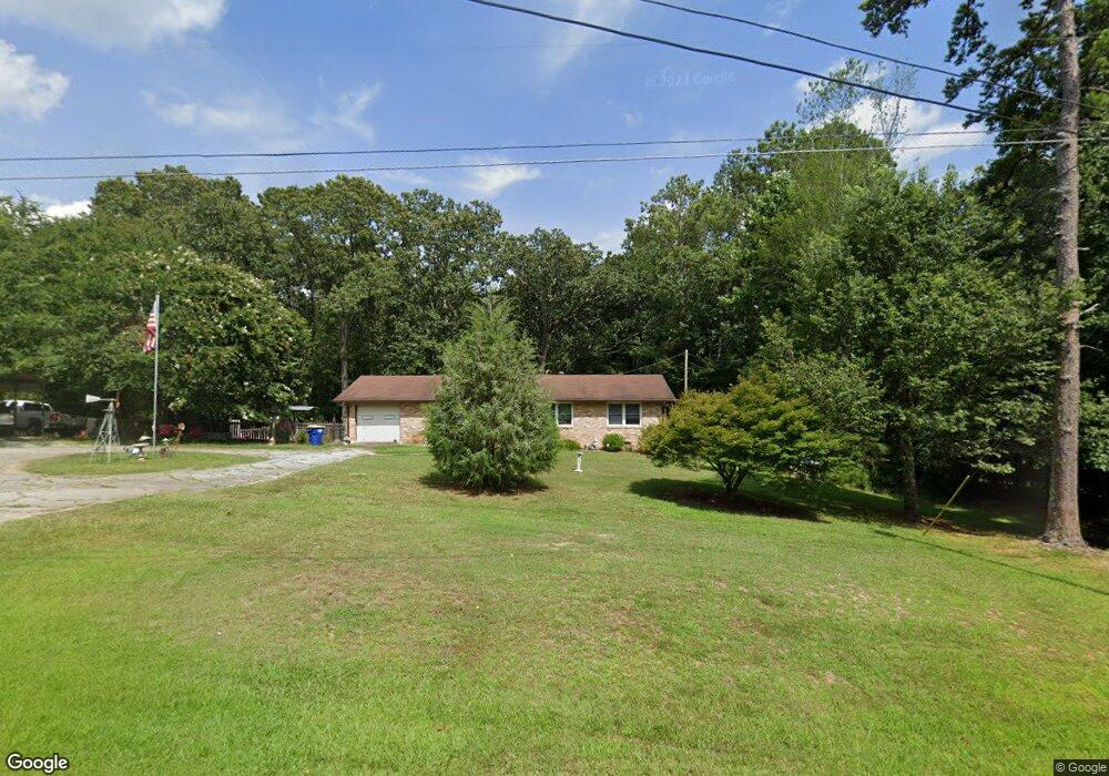
1810 Anderson Hwy Elberton, GA 30635
Estimated Value: $156,216 - $275,000
--
Bed
1
Bath
1,361
Sq Ft
$154/Sq Ft
Est. Value
About This Home
This home is located at 1810 Anderson Hwy, Elberton, GA 30635 and is currently estimated at $209,304, approximately $153 per square foot. 1810 Anderson Hwy is a home located in Elbert County with nearby schools including Elbert County Primary School, Elbert County Elementary School, and Elbert County Middle School.
Ownership History
Date
Name
Owned For
Owner Type
Purchase Details
Closed on
Jan 23, 2008
Sold by
Bell Katherine H
Bought by
Bell Robert N and Bell Katherine H
Current Estimated Value
Purchase Details
Closed on
Mar 25, 2004
Sold by
Parker Robert E and Parker Marie E
Bought by
Bell Katherine H
Purchase Details
Closed on
Nov 1, 1994
Purchase Details
Closed on
Jul 1, 1992
Create a Home Valuation Report for This Property
The Home Valuation Report is an in-depth analysis detailing your home's value as well as a comparison with similar homes in the area
Home Values in the Area
Average Home Value in this Area
Purchase History
| Date | Buyer | Sale Price | Title Company |
|---|---|---|---|
| Bell Robert N | -- | -- | |
| Bell Katherine H | $72,000 | -- | |
| -- | $42,500 | -- | |
| -- | $28,500 | -- |
Source: Public Records
Tax History Compared to Growth
Tax History
| Year | Tax Paid | Tax Assessment Tax Assessment Total Assessment is a certain percentage of the fair market value that is determined by local assessors to be the total taxable value of land and additions on the property. | Land | Improvement |
|---|---|---|---|---|
| 2024 | $1,297 | $56,079 | $7,327 | $48,752 |
| 2023 | $1,297 | $56,079 | $7,327 | $48,752 |
| 2022 | $918 | $40,304 | $4,362 | $35,942 |
| 2021 | $920 | $40,304 | $4,362 | $35,942 |
| 2020 | $786 | $30,934 | $3,489 | $27,445 |
| 2019 | $817 | $30,934 | $3,489 | $27,445 |
| 2018 | $842 | $30,934 | $3,489 | $27,445 |
| 2017 | $766 | $26,367 | $3,489 | $22,878 |
| 2016 | $715 | $26,367 | $3,489 | $22,878 |
| 2015 | -- | $26,367 | $3,489 | $22,878 |
| 2014 | -- | $26,367 | $3,489 | $22,878 |
| 2013 | -- | $26,367 | $3,489 | $22,878 |
Source: Public Records
Map
Nearby Homes
- 0 Allen Logan Rd Unit 22671131
- 2023 Stephens Rd
- 1136 Flagstone Rd
- 2109 Brewers Mill Rd
- 0 Harmony Rd Unit 18771344
- 1 Powerhouse Dr
- 0 Henry Moon Dr Unit 10452056
- 15 Emmaus Dr
- 5 Emmaus Dr
- 2 Emmaus Dr
- 20 Emmaus Dr
- 14 Emmaus Dr
- 21 Emmaus Dr
- 19 Emmaus Dr
- 11 Emmaus Dr
- 4 Emmaus Dr
- 8 Emmaus Dr
- 16 Emmaus Dr
- 0 Paul Motes Rd Unit 10631596
- 1912 Ruckersville
- 1820 Anderson Hwy
- 1805 Anderson Hwy
- 1800 Anderson Hwy
- 1797 Anderson Hwy
- 1836 Anderson Hwy
- 1791 Anderson Hwy
- 1788 Anderson Hwy
- 1781 Anderson Hwy
- 1837 Anderson Hwy
- 1772 Anderson Hwy
- 1800 Shallow Creek Rd
- 0 Holmes Rd Unit 8013005
- 0 Holmes Rd Unit 20214489
- 0 Holmes Rd Unit 8543972
- 1894 Anderson Hwy
- 1790 Anderson Hwy
- 1792 Anderson Hwy
- 1179 Holmes Rd
- 1837 Shallow Creek Rd
- 1755 Anderson Hwy