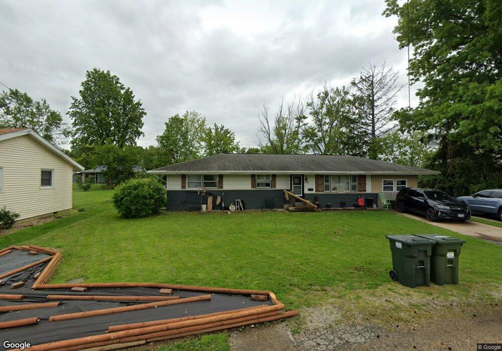
1810 Baker Dr Charleston, IL 61920
Estimated Value: $136,000 - $145,000
3
Beds
1
Bath
1,392
Sq Ft
$101/Sq Ft
Est. Value
About This Home
This home is located at 1810 Baker Dr, Charleston, IL 61920 and is currently estimated at $140,688, approximately $101 per square foot. 1810 Baker Dr is a home located in Coles County with nearby schools including Charleston High School and Charleston Christian Academy.
Ownership History
Date
Name
Owned For
Owner Type
Purchase Details
Closed on
Sep 10, 2021
Sold by
Spraker Janice and Estate Of John G Piacentine
Bought by
Reinhart Joshua and Reinhart Christina
Current Estimated Value
Home Financials for this Owner
Home Financials are based on the most recent Mortgage that was taken out on this home.
Original Mortgage
$85,500
Outstanding Balance
$77,799
Interest Rate
2.8%
Mortgage Type
New Conventional
Estimated Equity
$62,889
Create a Home Valuation Report for This Property
The Home Valuation Report is an in-depth analysis detailing your home's value as well as a comparison with similar homes in the area
Home Values in the Area
Average Home Value in this Area
Purchase History
| Date | Buyer | Sale Price | Title Company |
|---|---|---|---|
| Reinhart Joshua | $90,000 | None Available |
Source: Public Records
Mortgage History
| Date | Status | Borrower | Loan Amount |
|---|---|---|---|
| Open | Reinhart Joshua | $85,500 |
Source: Public Records
Tax History
| Year | Tax Paid | Tax Assessment Tax Assessment Total Assessment is a certain percentage of the fair market value that is determined by local assessors to be the total taxable value of land and additions on the property. | Land | Improvement |
|---|---|---|---|---|
| 2024 | $1,973 | $31,425 | $3,296 | $28,129 |
| 2023 | $2,406 | $28,699 | $3,010 | $25,689 |
| 2022 | $2,406 | $28,225 | $2,960 | $25,265 |
| 2021 | $1,084 | $27,088 | $2,841 | $24,247 |
| 2020 | $1,114 | $28,066 | $5,949 | $22,117 |
| 2019 | $1,474 | $27,088 | $5,742 | $21,346 |
| 2018 | $1,458 | $27,088 | $5,742 | $21,346 |
| 2017 | $1,109 | $27,088 | $5,742 | $21,346 |
| 2016 | $1,427 | $27,088 | $5,742 | $21,346 |
| 2015 | $1,227 | $27,088 | $5,742 | $21,346 |
| 2014 | $1,227 | $27,088 | $5,742 | $21,346 |
| 2013 | $1,227 | $27,088 | $5,742 | $21,346 |
Source: Public Records
Map
Nearby Homes
- 2004 Hayes Ave
- 2 Copperfield Ln
- 2007 Mckinley Ave
- 2015 & 2017 10th St
- Lot 67 Hawthorne Dr
- Lot 65 Hawthorne Dr
- Lot 60 Hawthorne Dr
- Lot 52 Hawthorne Dr
- Lot 47 Hawthorne Dr
- Lot 43 Hawthorne Dr
- Lot 63 Hawthorne Dr
- Lot 59 Hawthorne Dr
- Lot 49 Hawthorne Dr
- Lot 45 Hawthorne Dr
- 2019 10th St
- Lot 35 Tanglewood Dr
- Lot 28 Tanglewood Dr
- 000 Buxton Wood Dr
- 824 Hawthorne Dr
- 956 10th St
Your Personal Tour Guide
Ask me questions while you tour the home.