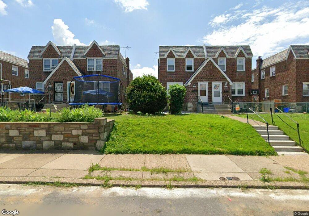
1810 Benson St Philadelphia, PA 19152
Rhawnhurst NeighborhoodEstimated Value: $220,000 - $323,000
3
Beds
1
Bath
1,216
Sq Ft
$232/Sq Ft
Est. Value
About This Home
This home is located at 1810 Benson St, Philadelphia, PA 19152 and is currently estimated at $281,585, approximately $231 per square foot. 1810 Benson St is a home with nearby schools including Farrell Louis H School, Northeast High School, and Tacony Academy Charter School.
Ownership History
Date
Name
Owned For
Owner Type
Purchase Details
Closed on
Feb 4, 2025
Sold by
Magrann Diana M
Bought by
Ge Luna
Current Estimated Value
Purchase Details
Closed on
Nov 5, 2001
Sold by
Magrann Diana and Porecca Raffaela
Bought by
Magrann Diana M
Purchase Details
Closed on
Nov 17, 1995
Sold by
Magrann Diana
Bought by
Magrann Diana and Porecca Raffaela
Purchase Details
Closed on
Jun 3, 1994
Sold by
Magrann Diana and Magrann Thomas
Bought by
Magrann Diana
Create a Home Valuation Report for This Property
The Home Valuation Report is an in-depth analysis detailing your home's value as well as a comparison with similar homes in the area
Home Values in the Area
Average Home Value in this Area
Purchase History
| Date | Buyer | Sale Price | Title Company |
|---|---|---|---|
| Ge Luna | $217,500 | First City Abstract | |
| Magrann Diana M | -- | -- | |
| Magrann Diana | -- | -- | |
| Magrann Diana | $31,091 | -- |
Source: Public Records
Tax History Compared to Growth
Tax History
| Year | Tax Paid | Tax Assessment Tax Assessment Total Assessment is a certain percentage of the fair market value that is determined by local assessors to be the total taxable value of land and additions on the property. | Land | Improvement |
|---|---|---|---|---|
| 2025 | $3,159 | $280,000 | $56,000 | $224,000 |
| 2024 | $3,159 | $280,000 | $56,000 | $224,000 |
| 2023 | $3,159 | $225,700 | $45,140 | $180,560 |
| 2022 | $1,984 | $180,700 | $45,140 | $135,560 |
| 2021 | $2,613 | $0 | $0 | $0 |
| 2020 | $2,613 | $0 | $0 | $0 |
| 2019 | $2,380 | $0 | $0 | $0 |
| 2018 | $2,269 | $0 | $0 | $0 |
| 2017 | $2,269 | $0 | $0 | $0 |
| 2016 | $1,849 | $0 | $0 | $0 |
| 2015 | $1,770 | $0 | $0 | $0 |
| 2014 | -- | $162,100 | $39,544 | $122,556 |
| 2012 | -- | $22,944 | $2,967 | $19,977 |
Source: Public Records
Map
Nearby Homes
- 1711 Kendrick St
- 1702 Arthur St
- 1617 Solly Ave
- 1716 Bergen St
- 1704 Stanwood St
- 1828 Megargee St
- 1804 Megargee St
- 1625 Rhawn St
- 1718 Rhawn St
- 1712 Tustin St
- 1931 33 Rhawn St
- 2013 Fuller St
- 2155 Benson St
- 1907 Tustin St
- 2162 Strahle St
- 1719 Loney St
- 1832 Mower St
- 1834 Mower St
- 7950 Algon Ave
- 2201 Strahle St Unit C302
- 1812 Benson St
- 1826 Benson St
- 1808 Benson St
- 1814 Benson St
- 1806 Benson St
- 1804 Benson St
- 1816 Benson St
- 1818 Benson St
- 1809 Hoffnagle St
- 1802 Benson St
- 1811 Hoffnagle St
- 1813 Hoffnagle St
- 1815 Hoffnagle St
- 1807 Hoffnagle St
- 1805 Hoffnagle St
- 1800 Benson St
- 1817 Hoffnagle St
- 1820 Benson St
- 1811 Benson St
- 1813 Benson St