1810 Cedar Rd Watkinsville, GA 30677
Estimated Value: $397,411 - $483,000
--
Bed
--
Bath
1,910
Sq Ft
$234/Sq Ft
Est. Value
About This Home
This home is located at 1810 Cedar Rd, Watkinsville, GA 30677 and is currently estimated at $447,853, approximately $234 per square foot. 1810 Cedar Rd is a home located in Oconee County with nearby schools including Colham Ferry Elementary School, Oconee County Middle School, and Oconee County High School.
Ownership History
Date
Name
Owned For
Owner Type
Purchase Details
Closed on
Apr 25, 2022
Sold by
Mcwhorter Jane H
Bought by
Mcwhorter Amber Ann
Current Estimated Value
Purchase Details
Closed on
Jul 10, 2014
Sold by
Hart Jeannine
Bought by
Mcwhorter Jane Hart
Purchase Details
Closed on
Jun 27, 2014
Sold by
Savage Ann Hart
Bought by
Mcwhoeter Jane Hart
Create a Home Valuation Report for This Property
The Home Valuation Report is an in-depth analysis detailing your home's value as well as a comparison with similar homes in the area
Home Values in the Area
Average Home Value in this Area
Purchase History
| Date | Buyer | Sale Price | Title Company |
|---|---|---|---|
| Mcwhorter Amber Ann | -- | -- | |
| Mcwhorter Jane Hart | -- | -- | |
| Mcwhoeter Jane Hart | -- | -- | |
| Mcwhoeter Jane Hart | -- | -- |
Source: Public Records
Tax History Compared to Growth
Tax History
| Year | Tax Paid | Tax Assessment Tax Assessment Total Assessment is a certain percentage of the fair market value that is determined by local assessors to be the total taxable value of land and additions on the property. | Land | Improvement |
|---|---|---|---|---|
| 2024 | $2,104 | $112,627 | $24,526 | $88,101 |
| 2023 | $2,104 | $105,480 | $21,704 | $83,776 |
| 2022 | $1,725 | $82,392 | $18,874 | $63,518 |
| 2021 | $1,655 | $73,490 | $16,412 | $57,078 |
| 2020 | $1,569 | $69,672 | $15,630 | $54,042 |
| 2019 | $1,539 | $68,366 | $15,630 | $52,736 |
| 2018 | $1,357 | $59,294 | $12,504 | $46,790 |
| 2017 | $1,232 | $54,007 | $11,471 | $42,536 |
| 2016 | $1,202 | $52,743 | $10,925 | $41,818 |
| 2015 | $1,180 | $51,818 | $10,925 | $40,894 |
| 2014 | $1,141 | $49,158 | $9,927 | $39,230 |
| 2013 | -- | $46,248 | $8,754 | $37,493 |
Source: Public Records
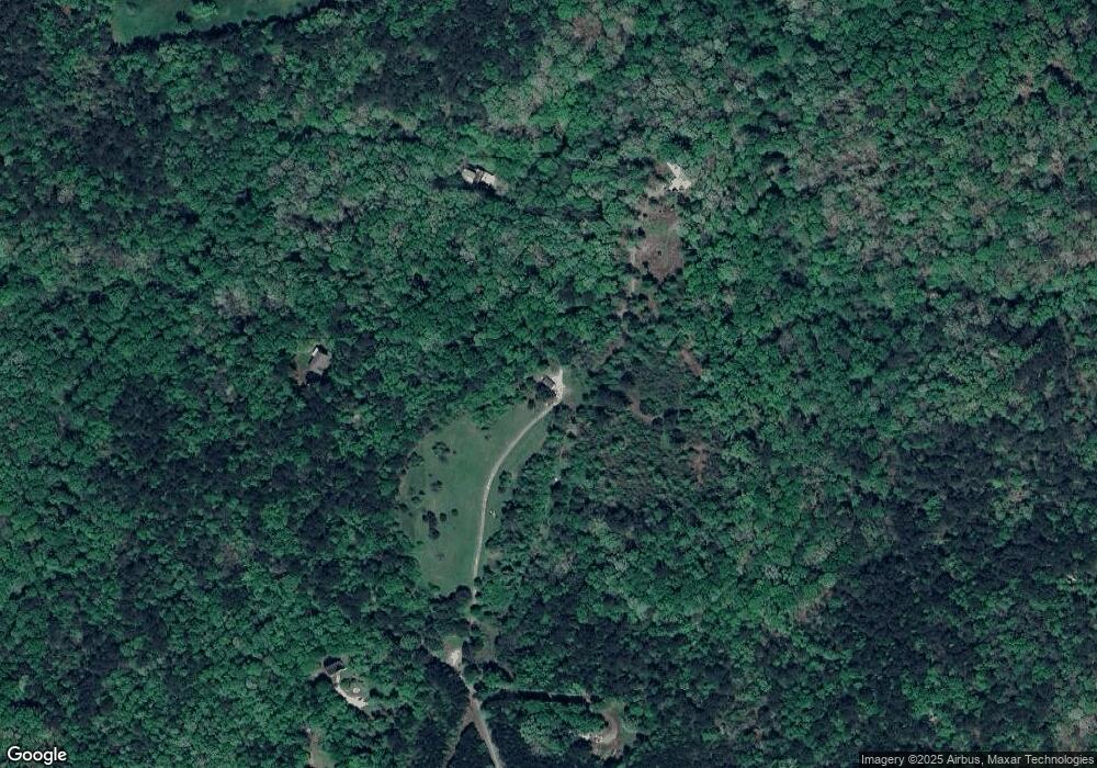
Map
Nearby Homes
- 4081 Greensboro Hwy
- 1050 Pembrook Ct
- 1931 Oliver Bridge Rd
- 1081 Old Mill Dr
- 1100 Ryland Hills Dr
- 1200 Ryland Hills Dr
- 1010 Bridlegate Dr Unit 25
- 3291 Ryland Hills Dr
- 3191 Ryland Hills Dr
- 3095 Ryland Hills Dr
- 1020 Barnett Place
- 1050 Golf Course Ln
- 2812 Astondale Rd
- 1520 Marshall-Wilkes Rd
- 3868 Barnett Shoals Rd
- 0 Old Barnett Shoals Rd Unit 22878090
- 0 S Barnett Shoals Rd Unit CL336112
- 0 S Barnett Shoals Rd Unit 10579614
- 3910 S Barnett Shoals Rd
- 1380 Sunset Ridge
- 1901 Cedar Rd
- 1899 Cedar Rd
- 1643 Cedar Rd
- 1641 Cedar Rd
- 1191 Kirkland Rd
- 1149 Kirkland Rd
- 1107 Kirkland Rd
- 1611 Cedar Rd
- 1630 Kirkland Rd
- 1170 Oliver Bridge Rd
- 2550 Flat Rock Rd
- 1621 Kirkland Rd
- 20 Acres Kirkland Rd
- 1320 Oliver Bridge Rd
- 1200 Wildcat Ridge
- 1340 Kirkland Rd
- 1641 Kirkland Rd
- 1372 Oliver Bridge Rd
- 1030 Wildcat Ridge
- 1280 Oliver Bridge Rd