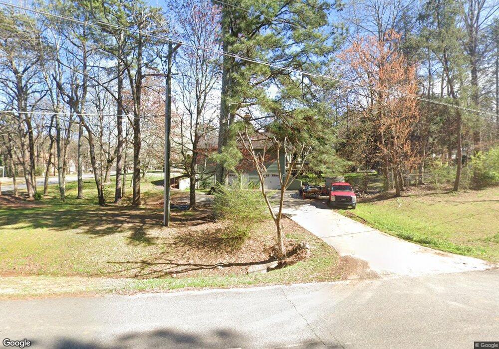
1810 Davis Dr Unit 1 Cumming, GA 30041
Estimated Value: $447,000 - $526,000
3
Beds
3
Baths
2,192
Sq Ft
$222/Sq Ft
Est. Value
About This Home
This home is located at 1810 Davis Dr Unit 1, Cumming, GA 30041 and is currently estimated at $485,838, approximately $221 per square foot. 1810 Davis Dr Unit 1 is a home located in Forsyth County with nearby schools including Cumming Elementary School, Otwell Middle School, and Forsyth Central High School.
Ownership History
Date
Name
Owned For
Owner Type
Purchase Details
Closed on
Sep 20, 2017
Sold by
Lewis Beth
Bought by
Guzman Gelacio and Mundo Corona Luz M
Current Estimated Value
Home Financials for this Owner
Home Financials are based on the most recent Mortgage that was taken out on this home.
Original Mortgage
$220,924
Outstanding Balance
$186,910
Interest Rate
4.4%
Mortgage Type
FHA
Estimated Equity
$298,928
Purchase Details
Closed on
Mar 17, 2006
Sold by
Lewis Roger N and Lewis Beth
Bought by
Lewis Roger N and Lewis Beth L
Purchase Details
Closed on
Oct 15, 1998
Sold by
Cisneros Henry G
Bought by
Lewis Roger N and Lewis Beth
Home Financials for this Owner
Home Financials are based on the most recent Mortgage that was taken out on this home.
Original Mortgage
$139,200
Interest Rate
6.61%
Mortgage Type
VA
Create a Home Valuation Report for This Property
The Home Valuation Report is an in-depth analysis detailing your home's value as well as a comparison with similar homes in the area
Home Values in the Area
Average Home Value in this Area
Purchase History
| Date | Buyer | Sale Price | Title Company |
|---|---|---|---|
| Guzman Gelacio | $225,000 | -- | |
| Lewis Roger N | -- | -- | |
| Lewis Roger N | -- | -- |
Source: Public Records
Mortgage History
| Date | Status | Borrower | Loan Amount |
|---|---|---|---|
| Open | Guzman Gelacio | $220,924 | |
| Previous Owner | Lewis Roger N | $139,200 |
Source: Public Records
Tax History Compared to Growth
Tax History
| Year | Tax Paid | Tax Assessment Tax Assessment Total Assessment is a certain percentage of the fair market value that is determined by local assessors to be the total taxable value of land and additions on the property. | Land | Improvement |
|---|---|---|---|---|
| 2025 | $4,531 | $209,092 | $58,000 | $151,092 |
| 2024 | $4,531 | $184,772 | $54,000 | $130,772 |
| 2023 | $4,565 | $185,448 | $40,000 | $145,448 |
| 2022 | $3,770 | $110,056 | $24,000 | $86,056 |
| 2021 | $3,039 | $110,056 | $24,000 | $86,056 |
| 2020 | $2,937 | $106,364 | $24,000 | $82,364 |
| 2019 | $2,625 | $94,916 | $18,000 | $76,916 |
| 2018 | $2,481 | $89,704 | $18,000 | $71,704 |
| 2017 | $2,180 | $78,540 | $18,000 | $60,540 |
| 2016 | $2,180 | $78,540 | $18,000 | $60,540 |
| 2015 | $1,994 | $71,700 | $14,000 | $57,700 |
| 2014 | $1,772 | $66,932 | $0 | $0 |
Source: Public Records
Map
Nearby Homes
- 1965 Tiner Ct
- 2320 Pilgrim Mill Way
- 1930 Pilgrim Mill Rd
- 2640 Mayfair Dr
- 1354 Pilgrim Lake Dr
- 2385 Mayfair Dr
- 5660 Mercedes Dr
- 2630 Fleetwood Dr
- 2455 Pilgrim Rd
- 1621 Indian Way
- 5425 Belvedere St
- 1609 Indian Way
- 5380 Renault St
- 1628 Indian Way
- 0 Fleetwood Dr Unit 10625646
- 0 Fleetwood Dr Unit 10577871
- 0 Fleetwood Dr Unit 7624025
- 5560 Pilgrim Point Extension
- 1810 Davis Dr
- 1820 Davis Dr
- 1825 Pilgrim Mill Cir
- 1830 Davis Dr
- 1815 Davis Dr
- 1845 Pilgrim Mill Cir
- 1830 Pilgrim Mill Cir
- 1830 Pilgrim Mill Cir
- 1825 Davis Dr
- 1850 Davis Dr
- 1865 Pilgrim Mill Cir
- 1920 Tiner Ct
- 1835 Davis Dr
- 1930 Tiner Ct
- 1765 Pilgrim Mill Cir
- 1845 Davis Dr
- 1840 Pilgrim Mill Cir
- 1940 Tiner Ct
- 1905 Pilgrim Mill Cir
- 1905 Davis Dr