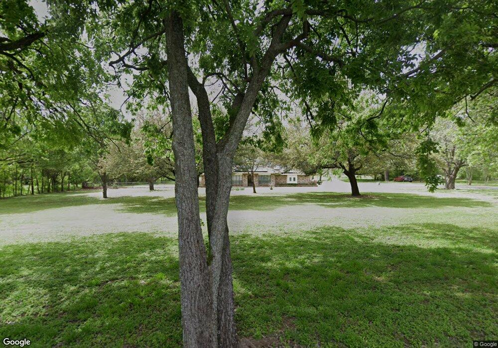
1810 Newport Rd Weatherford, TX 76086
Estimated Value: $474,000 - $598,783
--
Bed
--
Bath
2,630
Sq Ft
$209/Sq Ft
Est. Value
About This Home
This home is located at 1810 Newport Rd, Weatherford, TX 76086 and is currently estimated at $548,946, approximately $208 per square foot. 1810 Newport Rd is a home located in Parker County with nearby schools including Wright Elementary School, Hall Middle School, and Weatherford High School.
Ownership History
Date
Name
Owned For
Owner Type
Purchase Details
Closed on
Dec 28, 2023
Sold by
Wright John T and Wright Rebecca L
Bought by
Thomas Toby and Guo Angela
Current Estimated Value
Purchase Details
Closed on
Jun 24, 2015
Sold by
Wright David Stanton
Bought by
Wright John T and Wright Rebecca L
Purchase Details
Closed on
Jan 1, 1901
Sold by
Thomas Marion Homer and Zelda Thomas
Bought by
Wright John T and Wright Rebecca L
Create a Home Valuation Report for This Property
The Home Valuation Report is an in-depth analysis detailing your home's value as well as a comparison with similar homes in the area
Home Values in the Area
Average Home Value in this Area
Purchase History
| Date | Buyer | Sale Price | Title Company |
|---|---|---|---|
| Thomas Toby | -- | Providence Title Company | |
| Wright John T | -- | None Available | |
| Wright John T | -- | -- |
Source: Public Records
Tax History Compared to Growth
Tax History
| Year | Tax Paid | Tax Assessment Tax Assessment Total Assessment is a certain percentage of the fair market value that is determined by local assessors to be the total taxable value of land and additions on the property. | Land | Improvement |
|---|---|---|---|---|
| 2025 | $3,767 | $653,820 | $220,150 | $433,670 |
| 2024 | $3,767 | $637,200 | $195,090 | $442,110 |
| 2023 | $3,767 | $521,280 | $0 | $0 |
| 2022 | $8,823 | $487,550 | $179,920 | $307,630 |
| 2021 | $8,696 | $487,550 | $179,920 | $307,630 |
| 2020 | $7,944 | $391,650 | $134,110 | $257,540 |
| 2019 | $8,749 | $422,170 | $134,110 | $288,060 |
| 2018 | $7,994 | $371,390 | $96,690 | $274,700 |
| 2017 | $7,296 | $365,390 | $96,690 | $268,700 |
| 2016 | $6,633 | $298,820 | $78,980 | $219,840 |
| 2015 | $6,345 | $289,700 | $78,980 | $210,720 |
| 2014 | $1,866 | $251,770 | $71,400 | $180,370 |
Source: Public Records
Map
Nearby Homes
- 106 Marys Ln
- 1413 Westwood Dr
- 1525 Oak Tree Cir
- 918 El Dorado St
- 905 Eldorado St
- 1816 Barberry
- 1813 Barberry Way
- 741 Nandina Rd
- 1031 Estancia Blvd
- 3009 Codigo Dr
- 2008 Vaquero Dr
- 102 Bob White Ave
- 1921 Bay Laurel Dr
- 1015 W Park Ave Unit D
- 1015 W Park Ave Unit LOT A
- 1015 W Park Ave Unit LOT B
- 423 Live Oak Ln
- 1741 Ranger Hwy
- 1701 Ranger Hwy
- TBD Forest Ln
- 1817 Newport Rd
- 1800 Newport Rd
- 1813 Newport Rd
- 1815 Newport Rd
- 1811 Newport Rd
- 1798 Newport Rd
- 301 Old Brock Rd
- 1796 Newport Rd
- 1807 Newport Rd
- 1794 Newport Rd
- 319 Old Brock Rd
- 1801 Newport Rd
- 2001 Newport Rd
- 101 Marys Ln
- 320 Old Brock Rd
- 1910 Newport Rd
- 2005 Newport Rd
- 334 Old Brock Rd
- 1225 Charles St
- 105 Marys Ln