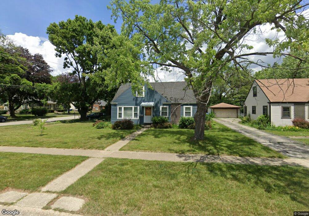
1810 North Shore Ave Des Plaines, IL 60018
Estimated Value: $348,000 - $391,000
2
Beds
1
Bath
1,313
Sq Ft
$284/Sq Ft
Est. Value
About This Home
This home is located at 1810 North Shore Ave, Des Plaines, IL 60018 and is currently estimated at $372,352, approximately $283 per square foot. 1810 North Shore Ave is a home located in Cook County with nearby schools including Orchard Place Elementary School, Algonquin Middle School, and Maine West High School.
Ownership History
Date
Name
Owned For
Owner Type
Purchase Details
Closed on
Aug 14, 2003
Sold by
Braun Paul D and Braun Christine M
Bought by
Mann Robert J and Mann Ardis L
Current Estimated Value
Home Financials for this Owner
Home Financials are based on the most recent Mortgage that was taken out on this home.
Original Mortgage
$186,000
Outstanding Balance
$85,235
Interest Rate
6.18%
Mortgage Type
Purchase Money Mortgage
Estimated Equity
$287,117
Purchase Details
Closed on
Jul 16, 1999
Sold by
Figiel John D
Bought by
Braun Paul D and Braun Christine M
Home Financials for this Owner
Home Financials are based on the most recent Mortgage that was taken out on this home.
Original Mortgage
$155,800
Interest Rate
7%
Mortgage Type
Purchase Money Mortgage
Purchase Details
Closed on
Dec 3, 1998
Sold by
Dahmer Rosemary
Bought by
Figiel John D
Create a Home Valuation Report for This Property
The Home Valuation Report is an in-depth analysis detailing your home's value as well as a comparison with similar homes in the area
Home Values in the Area
Average Home Value in this Area
Purchase History
| Date | Buyer | Sale Price | Title Company |
|---|---|---|---|
| Mann Robert J | $232,500 | Ticor Title Insurance | |
| Braun Paul D | $164,000 | -- | |
| Figiel John D | $127,500 | -- |
Source: Public Records
Mortgage History
| Date | Status | Borrower | Loan Amount |
|---|---|---|---|
| Open | Mann Robert J | $186,000 | |
| Previous Owner | Braun Paul D | $155,800 |
Source: Public Records
Tax History Compared to Growth
Tax History
| Year | Tax Paid | Tax Assessment Tax Assessment Total Assessment is a certain percentage of the fair market value that is determined by local assessors to be the total taxable value of land and additions on the property. | Land | Improvement |
|---|---|---|---|---|
| 2024 | $5,018 | $25,000 | $9,307 | $15,693 |
| 2023 | $4,848 | $25,000 | $9,307 | $15,693 |
| 2022 | $4,848 | $25,000 | $9,307 | $15,693 |
| 2021 | $4,690 | $18,587 | $7,755 | $10,832 |
| 2020 | $4,679 | $18,587 | $7,755 | $10,832 |
| 2019 | $4,698 | $20,885 | $7,755 | $13,130 |
| 2018 | $4,704 | $19,166 | $6,824 | $12,342 |
| 2017 | $4,639 | $19,166 | $6,824 | $12,342 |
| 2016 | $4,632 | $19,166 | $6,824 | $12,342 |
| 2015 | $4,573 | $17,750 | $5,894 | $11,856 |
| 2014 | $4,493 | $17,750 | $5,894 | $11,856 |
| 2013 | $4,363 | $17,750 | $5,894 | $11,856 |
Source: Public Records
Map
Nearby Homes
- 1757 Farwell Ave
- 2993 Curtis St Unit C41
- 2993 Curtis St
- 2646 Maple St
- 2945 S Scott St
- 2609 Eisenhower Dr
- 2600 S Scott St
- 3051 S Scott St
- 1966 Laura Ln
- 2500 Maple St
- 2126 David Dr
- 3111 Stillwell Dr
- 1706 Buckingham Dr
- 1641 E Touhy Ave
- 1629 E Touhy Ave
- 38 E Touhy Ave
- 2091 Sherwin Ave
- 3429 Emerson St
- 200 Thames Pkwy Unit 1
- 201 Thames Pkwy Unit 2F
- 1820 North Shore Ave
- 1830 N Shore Ave
- 1830 North Shore Ave
- 1811 Pratt Ave
- 1836 North Shore Ave
- 1821 Pratt Ave
- 1815 North Shore Ave
- 2848 Curtis St
- 2874 Curtis St
- 1831 Pratt Ave
- 1811 Pratt St
- 2826 Curtis St
- 1846 N Shore Ave
- 1846 North Shore Ave
- 2878 Curtis St
- 2915 Curtis St
- 1835 Pratt Ave
- 1783 Pratt Ave
- 1827 N Shore Ave
- 1821 North Shore Ave