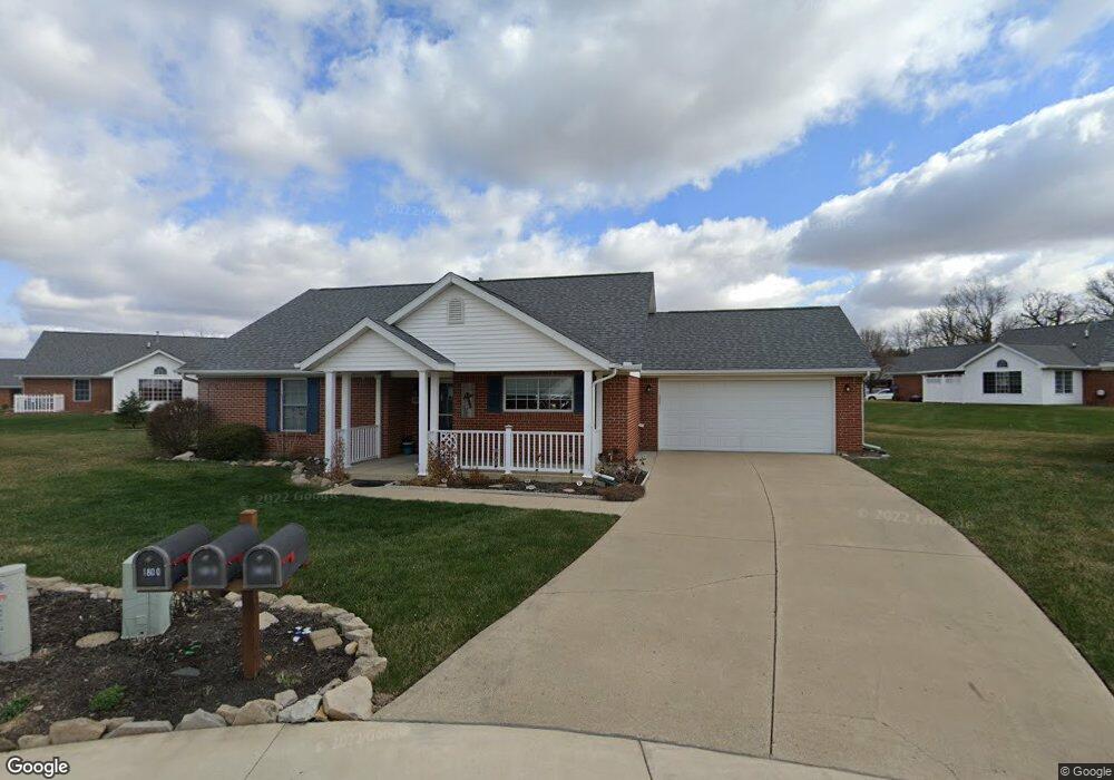
1810 Saint Andrews Ct Springfield, OH 45502
Estimated Value: $247,000 - $280,000
About This Home
This home is located at 1810 Saint Andrews Ct, Springfield, OH 45502 and is currently estimated at $258,383, approximately $159 per square foot. 1810 Saint Andrews Ct is a home located in Clark County with nearby schools including Northridge Elementary School, Kenton Ridge Middle & High School, and Emmanuel Christian Academy.
Ownership History
We collect this data history from publicly available records. To have your information removed, we recommend requesting removal directly through your county’s website.
Purchase Details
Purchase Details
Purchase Details
Home Financials for this Owner
Home Financials are based on the most recent Mortgage that was taken out on this home.Purchase Details
Purchase Details
Purchase Details
Home Financials for this Owner
Home Financials are based on the most recent Mortgage that was taken out on this home.Home Values in the Area
Average Home Value in this Area
Purchase History
We collect this data history from publicly available records. To have your information removed, we recommend requesting removal directly through your county’s website.
| Date | Buyer | Sale Price | Title Company |
|---|---|---|---|
| $152,000 | None Available | ||
| -- | None Available | ||
| $122,500 | None Available | ||
| $139,500 | Attorney | ||
| $142,000 | None Available | ||
| $140,000 | -- |
Mortgage History
We collect this data history from publicly available records. To have your information removed, we recommend requesting removal directly through your county’s website.
| Date | Status | Borrower | Loan Amount |
|---|---|---|---|
| Previous Owner | $110,100 | ||
| Previous Owner | $112,000 |
Tax History
We collect this data history from publicly available records. To have your information removed, we recommend requesting removal directly through your county’s website.
| Year | Tax Paid | Tax Assessment Tax Assessment Total Assessment is a certain percentage of the fair market value that is determined by local assessors to be the total taxable value of land and additions on the property. | Land | Improvement |
|---|---|---|---|---|
| 2025 | $2,678 | $87,330 | $12,250 | $75,080 |
| 2024 | $2,588 | $63,140 | $10,850 | $52,290 |
| 2023 | $2,588 | $63,140 | $10,850 | $52,290 |
| 2022 | $1,007 | $63,140 | $10,850 | $52,290 |
| 2021 | $2,372 | $49,480 | $8,750 | $40,730 |
| 2020 | $2,375 | $49,480 | $8,750 | $40,730 |
| 2019 | $2,422 | $49,480 | $8,750 | $40,730 |
| 2018 | $2,335 | $46,120 | $8,750 | $37,370 |
| 2017 | $1,985 | $47,681 | $8,750 | $38,931 |
| 2016 | $1,970 | $47,681 | $8,750 | $38,931 |
| 2015 | $2,014 | $47,681 | $8,750 | $38,931 |
| 2014 | $2,013 | $47,681 | $8,750 | $38,931 |
| 2013 | $2,009 | $47,681 | $8,750 | $38,931 |
Map
- 1505 Kingsgate Rd
- 1503 Kingsgate Rd
- 1500 Kingsgate Rd Unit 19430
- 1502 Kingsgate Rd Unit 19432
- 1500 Kingsgate Rd
- 1502 Kingsgate Rd
- 3631 Kingsgate Ln
- 1922 Wedgewood Cir
- 1912 Wedgewood Cir
- 1415 Montego Dr
- 4267 Helena Dr
- 2022 Westboro Ave
- 2014 Westboro Ave
- 1143 Derby Rd
- 1141 Brixton Dr W
- 1167 Old Farm Ln
- 1143 Armsgate Rd
- 4239 Midfield St
- 1136 Foxboro Rd Unit 202
- 4008 Bosart Rd
- 1810 Saint Andrews Ct Unit 33
- 1800 Saint Andrews Ct Unit 34
- 1820 Saint Andrews Ct Unit 32
- 1820 Saint Andrews Ct
- 1820 Saint Andrews Ct
- 1811 Pinehurst Dr Unit 35
- 1821 Pinehurst Dr
- 1861 Pinehurst Dr Unit 38
- 1861 Pinehurst Dr
- 1821 Saint Andrews Ct Unit 31
- 1871 Pinehurst Dr Unit 39
- 1811 Saint Andrews Ct Unit 30
- 1881 Pinehurst Dr Unit 40
- 1801 Saint Andrews Ct
- 1790 Saint Andrews Ct Unit 25
- 1810 Pinehurst Dr Unit 8
- 1820 Pinehurst Dr Unit 7
- 1791 Pinehurst Dr Unit 24
- 1800 Pinehurst Dr Unit 9
- 1830 Pinehurst Dr Unit 6
Ask me questions while you tour the home.