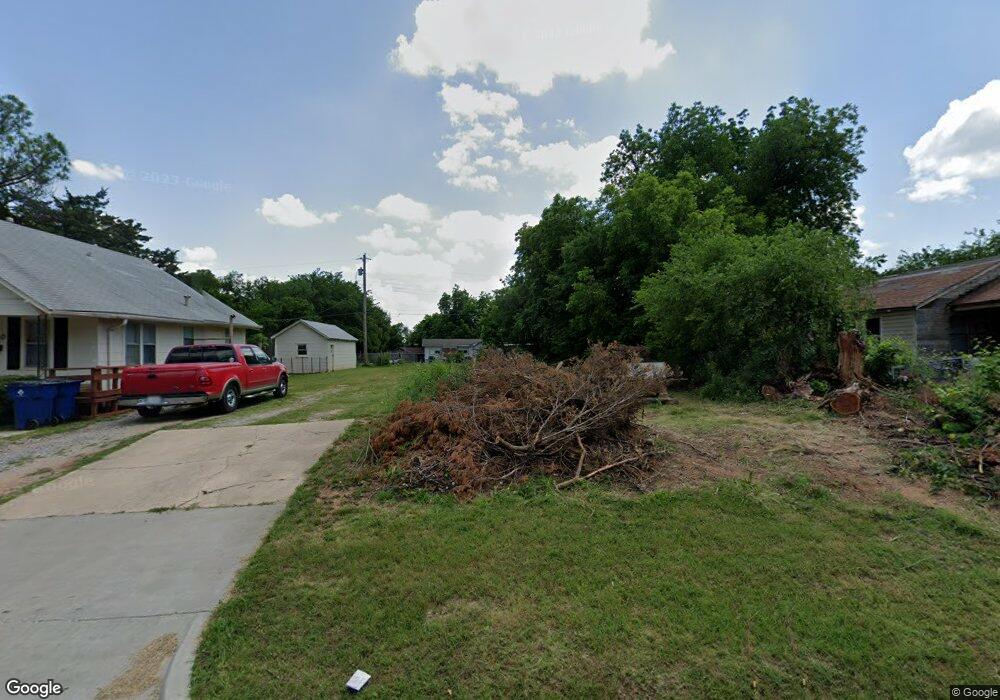
1810 W Main St Duncan, OK 73533
Estimated Value: $68,000 - $76,000
--
Bed
1
Bath
--
Sq Ft
6,490
Sq Ft Lot
About This Home
This home is located at 1810 W Main St, Duncan, OK 73533 and is currently estimated at $72,000. 1810 W Main St is a home located in Stephens County with nearby schools including Mark Twain Elementary School, Duncan Middle School, and Duncan High School.
Ownership History
Date
Name
Owned For
Owner Type
Purchase Details
Closed on
Aug 3, 2020
Sold by
County Of Stephens
Bought by
Miller Lanny Ray and Miller Jo Ellen
Current Estimated Value
Purchase Details
Closed on
May 31, 2016
Sold by
Johnson Kimberly
Bought by
Gray Gregory and Gray Bobbie
Purchase Details
Closed on
Nov 16, 2015
Sold by
Holloway Kenneth R and Holloway Collena F
Bought by
Johnson Kim
Purchase Details
Closed on
May 15, 1997
Sold by
Younts Younts J and Younts W
Bought by
Holloway Kenneth R
Purchase Details
Closed on
Sep 18, 1992
Sold by
Boice Carolyn
Purchase Details
Closed on
Mar 13, 1992
Sold by
Mayes Edgar L
Create a Home Valuation Report for This Property
The Home Valuation Report is an in-depth analysis detailing your home's value as well as a comparison with similar homes in the area
Home Values in the Area
Average Home Value in this Area
Purchase History
| Date | Buyer | Sale Price | Title Company |
|---|---|---|---|
| Miller Lanny Ray | -- | None Available | |
| Gray Gregory | -- | None Available | |
| Johnson Kim | $5,000 | None Available | |
| Holloway Kenneth R | -- | -- | |
| -- | $3,500 | -- | |
| -- | -- | -- |
Source: Public Records
Tax History Compared to Growth
Tax History
| Year | Tax Paid | Tax Assessment Tax Assessment Total Assessment is a certain percentage of the fair market value that is determined by local assessors to be the total taxable value of land and additions on the property. | Land | Improvement |
|---|---|---|---|---|
| 2025 | $46 | $550 | $550 | $0 |
| 2024 | $47 | $550 | $550 | $0 |
| 2023 | $47 | $550 | $550 | $0 |
| 2022 | $47 | $550 | $550 | $0 |
| 2021 | $46 | $550 | $550 | $0 |
| 2020 | $0 | $0 | $0 | $0 |
| 2019 | $48 | $0 | $0 | $0 |
| 2018 | $49 | $550 | $550 | $0 |
| 2017 | $238 | $550 | $550 | $0 |
| 2016 | $51 | $603 | $429 | $174 |
| 2015 | $21 | $1,350 | $401 | $949 |
| 2014 | $21 | $1,311 | $397 | $914 |
Source: Public Records
Map
Nearby Homes
- 174831 N 2844 Rd
- 2006 W Oak Ave
- 2011 W Oak Ave
- 2110 W Main St
- 123 N Highway 81
- 209 N 22nd St
- 201 N 23rd St
- 27 N 14th St
- 1309 W Beech Ave
- 1203 W Walnut Ave
- 2210 Western Dr
- 206 N 28th St
- 507 N Alice Dr
- 507 S 13th St
- 273787 E 1720 Rd
- 1312 W Pine Ave
- 1105 W Beech Ave
- 0 W Beech Ave
- 1213 W Pine Ave
- 210 N 31st St