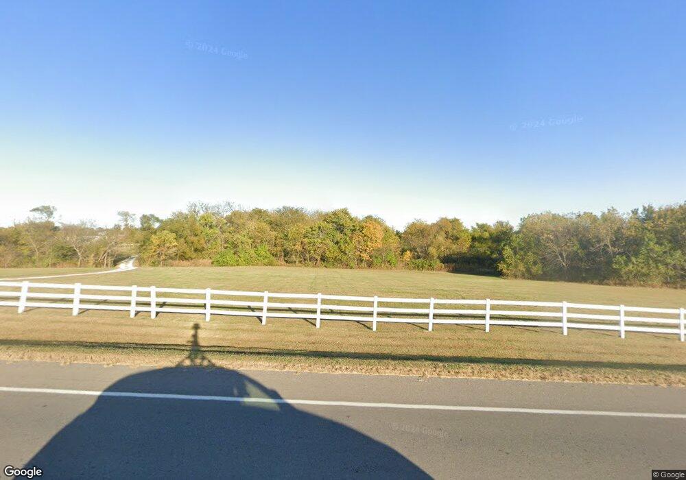
18101 N Us Highway 69 Lawson, MO 64062
Estimated Value: $423,000 - $755,000
4
Beds
4
Baths
2,604
Sq Ft
$232/Sq Ft
Est. Value
About This Home
This home is located at 18101 N Us Highway 69, Lawson, MO 64062 and is currently estimated at $604,722, approximately $232 per square foot. 18101 N Us Highway 69 is a home located in Clay County with nearby schools including Southwest Elementary School, Lawson Middle School, and Lawson High School.
Ownership History
Date
Name
Owned For
Owner Type
Purchase Details
Closed on
Jul 22, 2009
Sold by
Payne Michael S and Payne Vicki L
Bought by
Mammen Brandon C and Mammen Jerilyn M
Current Estimated Value
Home Financials for this Owner
Home Financials are based on the most recent Mortgage that was taken out on this home.
Original Mortgage
$247,200
Outstanding Balance
$162,157
Interest Rate
5.41%
Mortgage Type
Purchase Money Mortgage
Estimated Equity
$442,565
Purchase Details
Closed on
Apr 12, 2002
Sold by
Rainey Alma T and Rainey Vernon C
Bought by
Payne Michael S and Payne Vicki L
Home Financials for this Owner
Home Financials are based on the most recent Mortgage that was taken out on this home.
Original Mortgage
$232,000
Interest Rate
5.62%
Purchase Details
Closed on
Dec 16, 1999
Sold by
Anthony Rick L and Anthony Jill A
Bought by
Rainey Elizabeth A and Rainey Alma T
Create a Home Valuation Report for This Property
The Home Valuation Report is an in-depth analysis detailing your home's value as well as a comparison with similar homes in the area
Home Values in the Area
Average Home Value in this Area
Purchase History
| Date | Buyer | Sale Price | Title Company |
|---|---|---|---|
| Mammen Brandon C | -- | Missouri Secured Title Lees | |
| Payne Michael S | -- | -- | |
| Rainey Elizabeth A | -- | First American Title Ins Co |
Source: Public Records
Mortgage History
| Date | Status | Borrower | Loan Amount |
|---|---|---|---|
| Open | Mammen Brandon C | $247,200 | |
| Previous Owner | Payne Michael S | $232,000 | |
| Closed | Payne Michael S | $43,500 |
Source: Public Records
Tax History Compared to Growth
Tax History
| Year | Tax Paid | Tax Assessment Tax Assessment Total Assessment is a certain percentage of the fair market value that is determined by local assessors to be the total taxable value of land and additions on the property. | Land | Improvement |
|---|---|---|---|---|
| 2025 | $3,929 | $67,720 | -- | -- |
| 2024 | $3,929 | $60,080 | -- | -- |
| 2023 | $3,914 | $60,080 | $0 | $0 |
| 2022 | $3,424 | $52,210 | $0 | $0 |
| 2021 | $2,976 | $53,561 | $10,184 | $43,377 |
| 2020 | $2,815 | $46,450 | $0 | $0 |
| 2019 | $2,810 | $46,450 | $0 | $0 |
| 2018 | $2,886 | $46,560 | $0 | $0 |
| 2017 | $2,764 | $46,570 | $5,890 | $40,680 |
| 2016 | $2,764 | $46,570 | $5,890 | $40,680 |
| 2015 | $2,783 | $46,570 | $5,890 | $40,680 |
| 2014 | $2,695 | $44,430 | $5,840 | $38,590 |
Source: Public Records
Map
Nearby Homes
- 18301 N 69th Hwy
- 704 Salem Rd
- 466 Green Dr
- 696 Salem Rd
- 698 Salem Rd
- 462 Green Dr
- 456 Green Dr
- 459 Green Dr
- 0 Silvey & Short Rd Unit HMS2559355
- 404 Lynn St
- 145 Cardinal Cir
- 154 Cardinal Cir
- 234 E Moss St
- 206 N Doniphan St
- 336 E 3rd St
- 113 W 8th Terrace
- 317 E 4th St
- 504 E 2nd St
- 325 S Clark St
- 1105 N Doniphan St
- 28015 NE 172nd St
- 28021 NE 172nd St
- 18201 N Us Highway 69
- 29625 NE 184th St
- 29411 NE 184th St
- 29413 NE 184th St
- 29217 NE 184th St
- 17925 N Us Highway 69
- 29422 NE 184th St
- 18403 Sunrise Dr
- 29410 NE 184th St
- 18411 Sunrise Dr
- 18024 Salem Rd
- 18419 Sunrise Dr
- 18006 Salem Rd
- 17924 Salem Rd
- 17806 Salem Rd
- 736 Hidden Valley Cir
- 734 Hidden Valley Cir
- 734 NE 184th St
