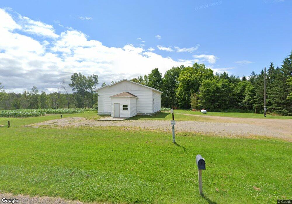
181019 County Road z Birnamwood, WI 54414
Estimated Value: $107,453 - $191,000
--
Bed
--
Bath
--
Sq Ft
1.59
Acres
About This Home
This home is located at 181019 County Road z, Birnamwood, WI 54414 and is currently estimated at $140,363. 181019 County Road z is a home with nearby schools including Wittenberg-Birnamwood High School.
Ownership History
Date
Name
Owned For
Owner Type
Purchase Details
Closed on
Jul 28, 2025
Sold by
Stadler Neil Ronald
Bought by
Vanprooyen Scott A
Current Estimated Value
Home Financials for this Owner
Home Financials are based on the most recent Mortgage that was taken out on this home.
Original Mortgage
$95,000
Outstanding Balance
$94,714
Interest Rate
5.99%
Mortgage Type
New Conventional
Estimated Equity
$45,649
Purchase Details
Closed on
Nov 27, 2015
Sold by
Cliver Robert T and Cliver Luann M
Bought by
Stadler Neil R
Purchase Details
Closed on
Aug 14, 2015
Sold by
Town Of Plover
Bought by
Cliver Robert T and Cliver Luann M
Create a Home Valuation Report for This Property
The Home Valuation Report is an in-depth analysis detailing your home's value as well as a comparison with similar homes in the area
Home Values in the Area
Average Home Value in this Area
Purchase History
| Date | Buyer | Sale Price | Title Company |
|---|---|---|---|
| Vanprooyen Scott A | $100,000 | None Listed On Document | |
| Stadler Neil R | $60,000 | Attorney | |
| Cliver Robert T | $46,500 | Clt |
Source: Public Records
Mortgage History
| Date | Status | Borrower | Loan Amount |
|---|---|---|---|
| Open | Vanprooyen Scott A | $95,000 |
Source: Public Records
Tax History Compared to Growth
Tax History
| Year | Tax Paid | Tax Assessment Tax Assessment Total Assessment is a certain percentage of the fair market value that is determined by local assessors to be the total taxable value of land and additions on the property. | Land | Improvement |
|---|---|---|---|---|
| 2024 | $539 | $81,900 | $10,200 | $71,700 |
| 2023 | $654 | $45,800 | $7,400 | $38,400 |
| 2022 | $626 | $45,800 | $7,400 | $38,400 |
| 2021 | $656 | $45,800 | $7,400 | $38,400 |
| 2020 | $629 | $45,800 | $7,400 | $38,400 |
| 2019 | $629 | $45,800 | $7,400 | $38,400 |
| 2018 | $744 | $45,800 | $7,400 | $38,400 |
| 2017 | $656 | $46,300 | $7,900 | $38,400 |
| 2016 | $0 | $0 | $0 | $0 |
| 2015 | -- | $0 | $0 | $0 |
| 2014 | -- | $0 | $0 | $0 |
Source: Public Records
Map
Nearby Homes
- 175791 County Road z
- 236934 Eau Claire River Rd
- Lot 3 Eau Claire River Rd
- N10595 State Highway 45
- Highway 45
- ON Emma St Unit 1.6 Acres
- N10595 U S 45
- 0 Killdeer Ln Unit 50317263
- 0 Killdeer Ln Unit 25312901
- 0 Birnamwood Rd
- 01 Matthew Dr
- 02 Matthew Dr
- 612 High St
- Lot 4 County Road z
- 455 Main St
- 0 U S 45
- 337 Railroad St
- 225600 County Road Y
- 225156 Frederick Dr
- 02 State Highway 45
- 4299 County Road z
- 180905 County Road z
- 0 County Road z
- 181335 County Road z
- 234078 N Pole Rd
- 181392 County Road z
- 234328 N Pole Rd
- 234400 N Pole Rd
- 233634 S Pole Rd
- N2068 N Pole Rd
- 234470 N Pole Rd
- 233488 S Pole Rd
- P1865 S Pole Rd
- P1858 S Pole Rd
- 181857 County Road z
- 181906 County Road z
- 181981 County Road z
- 0 Hwy Z Unit 50058035
- 234754 N Pole Rd
- 2048 N Pole Rd