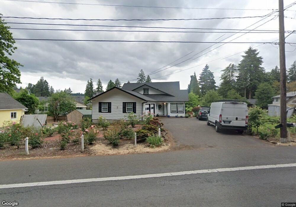
18103 SE River Rd Milwaukie, OR 97267
Estimated Value: $572,000 - $759,000
4
Beds
3
Baths
3,240
Sq Ft
$200/Sq Ft
Est. Value
About This Home
This home is located at 18103 SE River Rd, Milwaukie, OR 97267 and is currently estimated at $647,207, approximately $199 per square foot. 18103 SE River Rd is a home located in Clackamas County with nearby schools including Jennings Lodge Elementary School, Candy Lane Elementary School, and Gardiner Middle School.
Ownership History
Date
Name
Owned For
Owner Type
Purchase Details
Closed on
Apr 18, 2002
Sold by
Dobie John R and Dobie Carolyn J
Bought by
Schoenborn Roger L and Schoenborn Ili
Current Estimated Value
Purchase Details
Closed on
May 17, 1999
Sold by
Perry Howard W
Bought by
Dobie John R and Dobie Carolyn J
Home Financials for this Owner
Home Financials are based on the most recent Mortgage that was taken out on this home.
Original Mortgage
$132,000
Interest Rate
6.92%
Create a Home Valuation Report for This Property
The Home Valuation Report is an in-depth analysis detailing your home's value as well as a comparison with similar homes in the area
Home Values in the Area
Average Home Value in this Area
Purchase History
| Date | Buyer | Sale Price | Title Company |
|---|---|---|---|
| Schoenborn Roger L | $196,000 | Fidelity National Title Co | |
| Dobie John R | $165,000 | Transnation Title Insurance |
Source: Public Records
Mortgage History
| Date | Status | Borrower | Loan Amount |
|---|---|---|---|
| Previous Owner | Dobie John R | $132,000 |
Source: Public Records
Tax History Compared to Growth
Tax History
| Year | Tax Paid | Tax Assessment Tax Assessment Total Assessment is a certain percentage of the fair market value that is determined by local assessors to be the total taxable value of land and additions on the property. | Land | Improvement |
|---|---|---|---|---|
| 2025 | $5,119 | $294,589 | -- | -- |
| 2024 | $4,616 | $286,009 | -- | -- |
| 2023 | $4,616 | $277,679 | $0 | $0 |
| 2022 | $4,231 | $269,592 | $0 | $0 |
| 2021 | $4,053 | $261,740 | $0 | $0 |
| 2020 | $3,937 | $254,117 | $0 | $0 |
| 2019 | $3,859 | $246,716 | $0 | $0 |
| 2018 | $3,654 | $239,530 | $0 | $0 |
| 2017 | $3,562 | $232,553 | $0 | $0 |
| 2016 | $3,482 | $225,780 | $0 | $0 |
| 2015 | $3,392 | $219,204 | $0 | $0 |
| 2014 | $3,296 | $212,819 | $0 | $0 |
Source: Public Records
Map
Nearby Homes
- 18515 SE River Rd
- 5227 SE Bandon Ln
- 4424 SE Roethe Rd Unit 42
- 4424 SE Roethe Rd
- 17770 SE Cook St
- 4828 SE Ina Ave
- 19155 Nixon Ave
- 4801 SE Ina Ave
- 4803 SE Ina Ave
- 4807 SE Ina Ave
- 5314 SE Jennings Ave
- 4622 Mapleton Dr
- 0 0 Se Jennings Ave
- 4711 SE Roethe Rd
- 16642 SE Harold Ave
- 5625 SE Jennings Ave
- 5503 SE Colony Cir
- 5622 SE Jennings Ave
- 4819 SE Roethe Rd
- 19697 SE Cottonwood St
- 18107 SE River Rd
- 4255 SE Faith Ave Unit HS 36
- 4024 SE Willamette Dr
- 4245 SE Faith Ave Unit HS 35
- 18121 SE River Rd
- 4235 SE Faith Ave
- 4235 SE Faith Ave Unit HS 34
- 4016 SE Willamette Dr
- 4225 SE Faith Ave
- 4250 SE Faith Ave Unit HS 67
- 4275 SE Faith Ave
- 18030 SE River Rd
- 4265 SE Faith Ave Unit HS 37
- 4008 SE Willamette Dr
- 18108 SE River Rd
- 18090 SE River Rd
- 4215 SE Faith Ave Unit HS 32
- 4215 SE Faith Ave
- 4215 SE Faith Ave Unit HS 32
- 4141 SE Willamette Dr