18109 328th St Jamesport, MO 64648
Estimated Value: $302,000 - $550,852
Studio
--
Bath
1,571
Sq Ft
$271/Sq Ft
Est. Value
About This Home
This home is located at 18109 328th St, Jamesport, MO 64648 and is currently estimated at $426,426, approximately $271 per square foot. 18109 328th St is a home with nearby schools including Tri-County Elementary School, Tri-County High School, and Country View.
Ownership History
Date
Name
Owned For
Owner Type
Purchase Details
Closed on
Mar 3, 2023
Sold by
Landes Tracey M
Bought by
Landes Aaron and Landes Micah
Current Estimated Value
Home Financials for this Owner
Home Financials are based on the most recent Mortgage that was taken out on this home.
Original Mortgage
$690,000
Outstanding Balance
$635,663
Interest Rate
6.15%
Mortgage Type
Credit Line Revolving
Estimated Equity
-$209,237
Purchase Details
Closed on
Jun 19, 2014
Sold by
David R David R and Landes Tracey M
Bought by
Landes David R and Landes Tracey M
Create a Home Valuation Report for This Property
The Home Valuation Report is an in-depth analysis detailing your home's value as well as a comparison with similar homes in the area
Purchase History
| Date | Buyer | Sale Price | Title Company |
|---|---|---|---|
| Landes Aaron | -- | Grand River Title | |
| Landes David R | -- | -- |
Source: Public Records
Mortgage History
| Date | Status | Borrower | Loan Amount |
|---|---|---|---|
| Open | Landes Aaron | $690,000 |
Source: Public Records
Tax History
| Year | Tax Paid | Tax Assessment Tax Assessment Total Assessment is a certain percentage of the fair market value that is determined by local assessors to be the total taxable value of land and additions on the property. | Land | Improvement |
|---|---|---|---|---|
| 2025 | $2,644 | $40,618 | $4,671 | $35,947 |
| 2024 | $2,436 | $36,404 | $4,291 | $32,113 |
| 2023 | $2,399 | $36,404 | $4,291 | $32,113 |
| 2022 | $2,398 | $36,404 | $4,291 | $32,113 |
| 2021 | $2,292 | $36,404 | $4,291 | $32,113 |
| 2020 | $2,376 | $36,404 | $4,291 | $32,113 |
| 2019 | $2,317 | $36,404 | $4,291 | $32,113 |
| 2018 | $2,298 | $36,404 | $4,291 | $32,113 |
| 2017 | $1,522 | $25,273 | $4,291 | $20,982 |
| 2016 | -- | $25,273 | $4,291 | $20,982 |
| 2011 | -- | $24,527 | $0 | $0 |
Source: Public Records
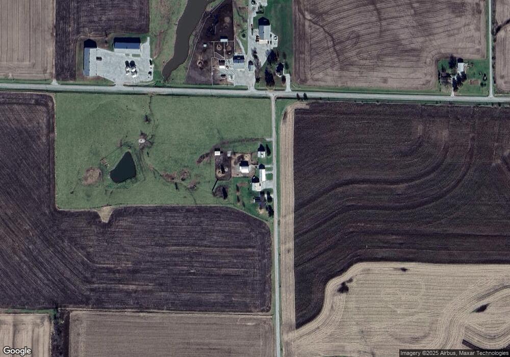
Map
Nearby Homes
- 106 E Main St
- 105 S Grant St
- 105 E Old Highway 6 N A
- 110 Kentucky
- 704 S Broadway N A
- 193 SW 52nd Ave
- 0 SW 52nd Ave
- 0 SW 52nd Ave Unit Lot WP004 24524850
- 538 NW Church St
- 24001 Nickel Ave
- 225 SW Highway W N A
- 24353 300th St
- 000 Flint Ave
- 73525 E Leisure Lake Dr
- 71323 Fawnwood Dr
- 71325 Forrest Dr
- E Leisure Lake Dr
- 0 SW Poplar Ln
- TBD State Road V
- 24984 P Hwy
Your Personal Tour Guide
Ask me questions while you tour the home.