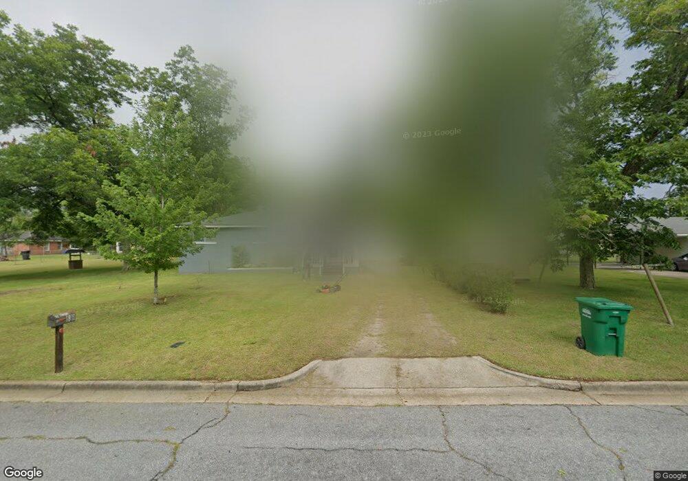
1811 Dunning Ln Albany, GA 31701
Estimated Value: $49,428 - $80,000
3
Beds
1
Bath
896
Sq Ft
$71/Sq Ft
Est. Value
About This Home
This home is located at 1811 Dunning Ln, Albany, GA 31701 and is currently estimated at $63,357, approximately $70 per square foot. 1811 Dunning Ln is a home located in Dougherty County with nearby schools including Martin Luther King Jr. Elementary School, Southside Middle School, and Monroe High School.
Ownership History
Date
Name
Owned For
Owner Type
Purchase Details
Closed on
Aug 30, 1997
Sold by
Simmons Willie B
Bought by
Simmons Annie M
Current Estimated Value
Purchase Details
Closed on
Aug 29, 1997
Sold by
Simmons Adele
Bought by
Simmons Willie B
Purchase Details
Closed on
Jun 12, 1997
Sold by
Simmons Adele Life Estate
Bought by
Simmons Willie B
Purchase Details
Closed on
Jun 11, 1997
Sold by
Simmons Willie B By Exec Of Will
Bought by
Simmons Adele Life Estate
Purchase Details
Closed on
May 1, 1975
Sold by
Dunning Locie
Bought by
Simmons Willie B
Create a Home Valuation Report for This Property
The Home Valuation Report is an in-depth analysis detailing your home's value as well as a comparison with similar homes in the area
Home Values in the Area
Average Home Value in this Area
Purchase History
| Date | Buyer | Sale Price | Title Company |
|---|---|---|---|
| Simmons Annie M | -- | -- | |
| Simmons Willie B | -- | -- | |
| Simmons Willie B | -- | -- | |
| Simmons Adele Life Estate | -- | -- | |
| Simmons Willie B | -- | -- |
Source: Public Records
Tax History Compared to Growth
Tax History
| Year | Tax Paid | Tax Assessment Tax Assessment Total Assessment is a certain percentage of the fair market value that is determined by local assessors to be the total taxable value of land and additions on the property. | Land | Improvement |
|---|---|---|---|---|
| 2024 | $199 | $10,440 | $1,360 | $9,080 |
| 2023 | $0 | $10,440 | $1,360 | $9,080 |
| 2022 | $193 | $10,440 | $1,360 | $9,080 |
| 2021 | $170 | $10,440 | $1,360 | $9,080 |
| 2020 | $171 | $10,440 | $1,360 | $9,080 |
| 2019 | $171 | $10,440 | $1,360 | $9,080 |
| 2018 | $0 | $10,440 | $1,360 | $9,080 |
| 2017 | $152 | $10,440 | $1,360 | $9,080 |
| 2016 | $152 | $10,440 | $1,360 | $9,080 |
| 2015 | $153 | $10,440 | $1,360 | $9,080 |
| 2014 | $130 | $9,960 | $880 | $9,080 |
Source: Public Records
Map
Nearby Homes
- 611 Albert Ct
- 612 Louis Ave
- 607 Harmon Ave
- 2504 S Madison St
- 1627 Mcarthur St
- 635 Harmon Ave
- 418 Harmon Ave
- 1505 Mcarthur St
- 604 Jefferies Ave
- 404 Cedar Ave
- 613 Cochran Ave
- 2126 Martin Luther King Junior Dr
- 528 Wells Ave
- 512 Cherry Ave
- 2601 S Jackson St
- 903 Dorsett Ave
- 309 Wells Ave
- 1207 S Cleveland St
- 906 Holloway Ave
- 420 Cotton Ave