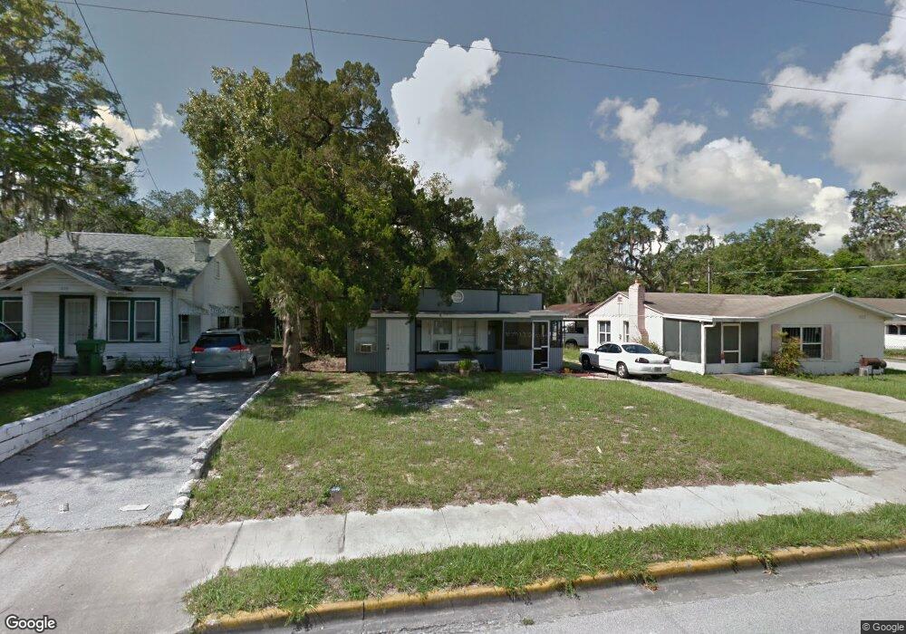
1811 High St Leesburg, FL 34748
Estimated Value: $120,000 - $152,000
3
Beds
2
Baths
743
Sq Ft
$187/Sq Ft
Est. Value
About This Home
This home is located at 1811 High St, Leesburg, FL 34748 and is currently estimated at $139,287, approximately $187 per square foot. 1811 High St is a home located in Lake County with nearby schools including Leesburg Elementary School, Oak Park Middle School, and Leesburg High School.
Ownership History
Date
Name
Owned For
Owner Type
Purchase Details
Closed on
Aug 26, 2022
Sold by
Clara Nickerson
Bought by
Javery Jean-Paul and Javery Pamela
Current Estimated Value
Home Financials for this Owner
Home Financials are based on the most recent Mortgage that was taken out on this home.
Original Mortgage
$104,471
Outstanding Balance
$100,037
Interest Rate
5.54%
Mortgage Type
FHA
Estimated Equity
$39,250
Purchase Details
Closed on
Oct 4, 1999
Sold by
Willis Ernest L and Willismann Glenda D
Bought by
Laws Kenneth J and Laws Deanna
Purchase Details
Closed on
Feb 17, 1967
Sold by
Shy Homer D and Shy Lillian Y
Bought by
Willis Lois M
Create a Home Valuation Report for This Property
The Home Valuation Report is an in-depth analysis detailing your home's value as well as a comparison with similar homes in the area
Home Values in the Area
Average Home Value in this Area
Purchase History
| Date | Buyer | Sale Price | Title Company |
|---|---|---|---|
| Javery Jean-Paul | $130,000 | -- | |
| Javery Jean-Paul | $130,000 | None Listed On Document | |
| Laws Kenneth J | $18,000 | -- | |
| Willis Lois M | $1,342 | -- |
Source: Public Records
Mortgage History
| Date | Status | Borrower | Loan Amount |
|---|---|---|---|
| Open | Javery Jean-Paul | $104,471 | |
| Closed | Javery Jean-Paul | $104,471 |
Source: Public Records
Tax History Compared to Growth
Tax History
| Year | Tax Paid | Tax Assessment Tax Assessment Total Assessment is a certain percentage of the fair market value that is determined by local assessors to be the total taxable value of land and additions on the property. | Land | Improvement |
|---|---|---|---|---|
| 2025 | $1,607 | $91,661 | $38,539 | $53,122 |
| 2024 | $1,607 | $91,661 | $38,539 | $53,122 |
| 2023 | $1,607 | $90,713 | $38,539 | $52,174 |
| 2022 | $362 | $41,310 | $0 | $0 |
| 2021 | $340 | $40,111 | $0 | $0 |
| 2020 | $347 | $39,558 | $0 | $0 |
| 2019 | $309 | $38,669 | $0 | $0 |
| 2018 | $298 | $38,285 | $0 | $0 |
| 2017 | $285 | $37,498 | $0 | $0 |
| 2016 | $73 | $25,796 | $0 | $0 |
| 2015 | $70 | $25,617 | $0 | $0 |
| 2014 | $8 | $25,414 | $0 | $0 |
Source: Public Records
Map
Nearby Homes
- 1805 High St
- 1803 High St
- 109 N Oakland St
- 0 W Main 2010 High St Unit G5052467
- 107 N Oakland St
- 104 N Chester St
- 108 N Truett St
- 2004 High St
- 1506 High St
- 112 S Moss St
- 1502 High St
- 2013 Vine St
- 209 N 14th St
- 0 Gourley Ave Unit MFRG5098327
- 206 Cooke St
- 729 N 14th St Us Hwy 27
- 405 Louis St
- 1903 Bradford Ave
- 1306 Vine St
- 2210 Mahoney Ave