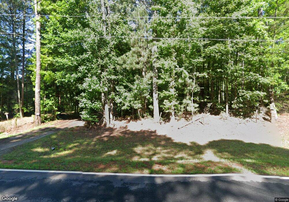
1811 McNutt Creek Rd Bogart, GA 30622
Estimated payment $2,803/month
Highlights
- Home fronts a creek
- No HOA
- Front Porch
- Malcom Bridge Elementary School Rated A
- Breakfast Area or Nook
- Bathtub with Shower
About This Home
3.24 ac 2BD, 1 BA with Classic old farmhouse for investment or COMMERCIAL POTENTIAL.!! Located one lot off Hwy 316 at the McNutt Creek Rd on off ramp. This land has over 360 ft +/- frontage on McNutt Ck and over 140 ft +/- visible frontage on Hwy 316 which has over 70,000 traffic count.
Adjacent to the property is an additional 4 acres that could possibly combined which is also listed, and is Commercial Potential. SELLER says “At this price, it needs to close before end of year Dec 30, 2025

Home Details
Home Type
- Single Family
Est. Annual Taxes
- $1,960
Year Built
- Built in 1900
Lot Details
- 3.24 Acre Lot
- Home fronts a creek
- Property is zoned Ag, Agricutural
Home Design
- Bungalow
- Block Foundation
- Frame Construction
- Wood Siding
- Asbestos
Interior Spaces
- 1,292 Sq Ft Home
- 1-Story Property
- Crawl Space
- Laundry in Kitchen
- Property Views
Kitchen
- Breakfast Area or Nook
- Range
Bedrooms and Bathrooms
- 2 Bedrooms
- 1 Full Bathroom
- Bathtub with Shower
Outdoor Features
- Front Porch
Schools
- Malcom Brdg Elementary And Middle School
- North Oconee High School
Utilities
- Central Heating and Cooling System
- 220 Volts
- Electric Water Heater
- Cable TV Available
Community Details
- No Home Owners Association
Listing and Financial Details
- Assessor Parcel Number B 01 090
Map
Home Values in the Area
Average Home Value in this Area
Tax History
| Year | Tax Paid | Tax Assessment Tax Assessment Total Assessment is a certain percentage of the fair market value that is determined by local assessors to be the total taxable value of land and additions on the property. | Land | Improvement |
|---|---|---|---|---|
| 2024 | $1,960 | $99,921 | $61,971 | $37,950 |
| 2023 | $1,867 | $92,255 | $57,381 | $34,874 |
| 2022 | $1,631 | $76,013 | $45,905 | $30,108 |
| 2021 | $1,591 | $68,711 | $41,732 | $26,979 |
| 2020 | $1,464 | $63,125 | $37,938 | $25,187 |
| 2019 | $1,345 | $58,006 | $32,989 | $25,017 |
| 2018 | $1,222 | $51,588 | $29,990 | $21,598 |
| 2017 | $1,054 | $44,487 | $24,992 | $19,495 |
| 2016 | $933 | $39,387 | $22,720 | $16,667 |
| 2015 | $933 | $39,290 | $22,720 | $16,570 |
| 2014 | $886 | $36,461 | $20,655 | $15,806 |
| 2013 | -- | $35,232 | $20,225 | $15,007 |
Property History
| Date | Event | Price | List to Sale | Price per Sq Ft |
|---|---|---|---|---|
| 11/23/2025 11/23/25 | For Sale | $500,000 | -- | $387 / Sq Ft |
Purchase History
| Date | Type | Sale Price | Title Company |
|---|---|---|---|
| Deed | -- | -- | |
| Deed | $550,000 | -- |
Mortgage History
| Date | Status | Loan Amount | Loan Type |
|---|---|---|---|
| Closed | $339,148 | Unknown |
Source: CLASSIC MLS (Athens Area Association of REALTORS®)
MLS Number: CL344266
APN: B01-0-90
Disclaimer: Certain information contained herein is derived from information provided by parties other than Homes.com. All information provided is deemed reliable, but is not guaranteed to be accurate and should be independently verified.
![]() IDX information is provided exclusively for personal, non-commercial use, and may not be used for any purpose other than to identify prospective properties consumers may be interested in purchasing. Information is deemed reliable but not guaranteed.
IDX information is provided exclusively for personal, non-commercial use, and may not be used for any purpose other than to identify prospective properties consumers may be interested in purchasing. Information is deemed reliable but not guaranteed.
- 1851 McNutt Creek Rd
- 1050 Aiken Rd
- 2188 Day Dr
- 1220 Day Dr
- 0 S Burson Ave Unit 1021231
- 0 S Burson Ave Unit 10370338
- 119 S Church St
- 2130 Keeneland Dr
- 2130 Keeneland Dr
- 1050 Cobblestone Ln
- 1060 Cobblestone Ln
- 1715 Whistling Creek Crossing Unit Lot 21
- 1250 Pete Dickens Rd
- 1216 Ray's River Run
- 3377 Clayton Dr
- 3451 Clayton Dr
- 1060 Fox Hollow Ct
- 159 Pine Valley Rd
- 1260 Aiken Rd
- 1060 Cobblestone Ln
- 160 Nunnally St
- 1520 Binghampton Cir
- 1021 Binghampton Cir
- 2155 Atlanta Hwy SE
- 211 Lucas Way
- 2119 Atlanta Hwy SE
- 805 Zelkova Ridge
- 1559 Blackstone Way
- 1372 Blackstone Way
- 56 Condor Ct
- 632 Creek Pointe Dr
- 1090 Kenway Dr
- 126 Arnold Rd SE
- 240 Cleveland Rd Unit 105
- 320 Logmont Trace
- 238 Covington Place
- 355 Jennings Mill Pkwy
- 219 Deerhill Dr