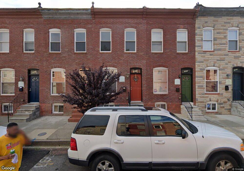
1811 N Port St Baltimore, MD 21213
Broadway East NeighborhoodEstimated Value: $44,000 - $69,442
--
Bed
1
Bath
456
Sq Ft
$124/Sq Ft
Est. Value
About This Home
This home is located at 1811 N Port St, Baltimore, MD 21213 and is currently estimated at $56,721, approximately $124 per square foot. 1811 N Port St is a home located in Baltimore City with nearby schools including Harford Heights Elementary School, Booker T. Washington Middle School, and Paul Laurence Dunbar High School.
Ownership History
Date
Name
Owned For
Owner Type
Purchase Details
Closed on
Mar 23, 2017
Sold by
Epstein Irene and Mogol Ellen E
Bought by
Olive Realty Management Llc
Current Estimated Value
Purchase Details
Closed on
Dec 18, 2006
Sold by
Jam #28 Corporation
Bought by
Olive Realty Management Llc
Home Financials for this Owner
Home Financials are based on the most recent Mortgage that was taken out on this home.
Original Mortgage
$28,000
Interest Rate
6.31%
Mortgage Type
Purchase Money Mortgage
Create a Home Valuation Report for This Property
The Home Valuation Report is an in-depth analysis detailing your home's value as well as a comparison with similar homes in the area
Home Values in the Area
Average Home Value in this Area
Purchase History
| Date | Buyer | Sale Price | Title Company |
|---|---|---|---|
| Olive Realty Management Llc | $1,000 | None Available | |
| Olive Realty Management Llc | $35,000 | -- |
Source: Public Records
Mortgage History
| Date | Status | Borrower | Loan Amount |
|---|---|---|---|
| Previous Owner | Olive Realty Management Llc | $28,000 |
Source: Public Records
Tax History Compared to Growth
Tax History
| Year | Tax Paid | Tax Assessment Tax Assessment Total Assessment is a certain percentage of the fair market value that is determined by local assessors to be the total taxable value of land and additions on the property. | Land | Improvement |
|---|---|---|---|---|
| 2025 | $940 | $40,000 | $9,000 | $31,000 |
| 2024 | $940 | $40,000 | $9,000 | $31,000 |
| 2023 | $944 | $40,000 | $9,000 | $31,000 |
| 2022 | $944 | $40,000 | $9,000 | $31,000 |
| 2021 | $716 | $30,333 | $0 | $0 |
| 2020 | $488 | $20,667 | $0 | $0 |
| 2019 | $258 | $11,000 | $3,000 | $8,000 |
| 2018 | $260 | $11,000 | $3,000 | $8,000 |
| 2017 | $260 | $11,000 | $0 | $0 |
| 2016 | $71 | $12,000 | $0 | $0 |
| 2015 | $71 | $11,400 | $0 | $0 |
| 2014 | $71 | $10,800 | $0 | $0 |
Source: Public Records
Map
Nearby Homes
- 1807 N Milton Ave
- 1625 N Milton Ave
- 2404 E Federal St
- 2505 E Federal St
- 1949 N Collington Ave
- 2122 E North Ave
- 1955 N Collington Ave
- 1532 N Patterson Park Ave
- 2528 E Oliver St
- 2532 E Oliver St
- 1509 N Patterson Park Ave
- 2107 Cliftwood Ave
- 1748 N Chester St
- 2114 Cliftwood Ave
- 2408 Llewelyn Ave
- 2404 Llewelyn Ave
- 2402 Llewelyn Ave
- 2032 E North Ave
- 2800 E Federal St
- 2030 E Lafayette Ave
- 1809 N Port St
- 1813 N Port St
- 1815 N Port St
- 1807 N Port St
- 1817 N Port St
- 1805 N Port St
- 1819 N Port St
- 1803 N Port St
- 1801 N Port St
- 1821 N Port St
- 1823 N Port St
- 1808 N Milton Ave
- 1810 N Milton Ave
- 1806 N Milton Ave
- 1812 N Milton Ave
- 1804 N Milton Ave
- 1825 N Port St
- 1802 N Milton Ave
- 1816 N Milton Ave
- 1800 N Milton Ave