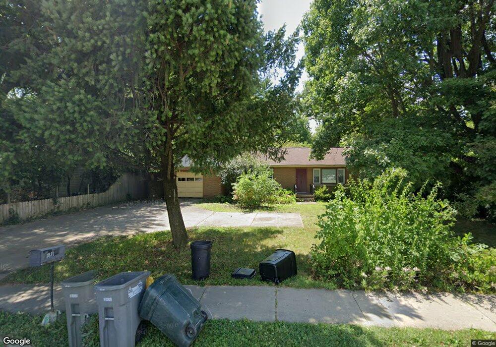
1811 Northwestern Ave West Lafayette, IN 47906
Estimated Value: $302,278 - $326,000
3
Beds
3
Baths
1,316
Sq Ft
$240/Sq Ft
Est. Value
About This Home
This home is located at 1811 Northwestern Ave, West Lafayette, IN 47906 and is currently estimated at $316,320, approximately $240 per square foot. 1811 Northwestern Ave is a home located in Tippecanoe County with nearby schools including West Lafayette Intermediate School, West Lafayette Elementary School, and West Lafayette Junior/Senior High School.
Ownership History
Date
Name
Owned For
Owner Type
Purchase Details
Closed on
Aug 29, 2025
Sold by
Andrew Properties Ii Llc
Bought by
Gerald Peterson Llc
Current Estimated Value
Home Financials for this Owner
Home Financials are based on the most recent Mortgage that was taken out on this home.
Original Mortgage
$225,000
Outstanding Balance
$225,000
Interest Rate
6.72%
Mortgage Type
New Conventional
Estimated Equity
$91,320
Purchase Details
Closed on
Apr 17, 2019
Sold by
Andrew Thomas J
Bought by
Andrew Properties Ii Llc
Purchase Details
Closed on
Aug 27, 2015
Sold by
Robinson Susanne
Bought by
Andrew Thomas J
Home Financials for this Owner
Home Financials are based on the most recent Mortgage that was taken out on this home.
Original Mortgage
$93,750
Interest Rate
4.09%
Mortgage Type
New Conventional
Create a Home Valuation Report for This Property
The Home Valuation Report is an in-depth analysis detailing your home's value as well as a comparison with similar homes in the area
Home Values in the Area
Average Home Value in this Area
Purchase History
| Date | Buyer | Sale Price | Title Company |
|---|---|---|---|
| Gerald Peterson Llc | $250,000 | Hbi Title Services | |
| Andrew Properties Ii Llc | -- | None Available | |
| Andrew Thomas J | -- | -- |
Source: Public Records
Mortgage History
| Date | Status | Borrower | Loan Amount |
|---|---|---|---|
| Open | Gerald Peterson Llc | $225,000 | |
| Closed | Gerald Peterson Llc | $250,000 | |
| Previous Owner | Andrew Thomas J | $93,750 |
Source: Public Records
Tax History Compared to Growth
Tax History
| Year | Tax Paid | Tax Assessment Tax Assessment Total Assessment is a certain percentage of the fair market value that is determined by local assessors to be the total taxable value of land and additions on the property. | Land | Improvement |
|---|---|---|---|---|
| 2024 | $4,325 | $182,500 | $84,800 | $97,700 |
| 2023 | $4,671 | $197,100 | $55,000 | $142,100 |
| 2022 | $4,671 | $197,100 | $55,000 | $142,100 |
| 2021 | $4,133 | $174,400 | $55,000 | $119,400 |
| 2020 | $4,133 | $174,400 | $55,000 | $119,400 |
| 2019 | $3,965 | $167,300 | $55,000 | $112,300 |
| 2018 | $3,813 | $160,900 | $38,000 | $122,900 |
| 2017 | $3,676 | $155,100 | $38,000 | $117,100 |
| 2016 | $3,524 | $148,700 | $35,700 | $113,000 |
| 2014 | $1,439 | $137,600 | $35,700 | $101,900 |
| 2013 | $1,441 | $136,500 | $35,700 | $100,800 |
Source: Public Records
Map
Nearby Homes
- 1201 Lindberg Rd
- 2212 Sycamore Ln
- 701 Carrolton Blvd
- 1909 Indian Trail Dr
- 2306 Carmel Dr
- 1912 Indian Trail Dr
- 500 Carrolton Blvd
- 509 Carrolton Blvd
- 618 Northridge Dr
- 502 Hillcrest Rd
- 1220 Ravinia Rd
- 2200 Miami Trail
- 1411 N Salisbury St
- 106 W Navajo St
- 1744 Sandpiper Dr
- 631 Kent Ave
- 624 Kent Ave
- 805 N Chauncey Ave
- 448 Westview Cir
- 237 E Sunset Ln
- 1807 Northwestern Ave
- 1815 Northwestern Ave
- 1000 Oakhurst Dr
- 1808 Summit Dr
- 1819 Northwestern Ave
- 1816 Summit Dr
- 1806 Summit Dr
- 1010 Oakhurst Dr
- 1820 Summit Dr
- 1824 Summit Dr
- 1001 Oakhurst Dr
- 1011 Oakhurst Dr
- 1830 Summit Dr
- 1809 Summit Dr
- 1805 Summit Dr
- 1815 Summit Dr
- 1730 Summit Dr
- 1801 Summit Dr
- 1821 Summit Dr
- 1725 Northwestern Ave