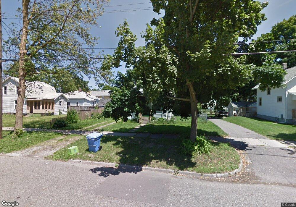
1811 Osband Ave Lansing, MI 48910
Moores Park NeighborhoodEstimated Value: $75,350 - $124,000
--
Bed
--
Bath
730
Sq Ft
$137/Sq Ft
Est. Value
About This Home
This home is located at 1811 Osband Ave, Lansing, MI 48910 and is currently estimated at $100,088, approximately $137 per square foot. 1811 Osband Ave is a home located in Ingham County with nearby schools including Averill Elementary School, Pattengill Academy, and J.W. Sexton High School.
Ownership History
Date
Name
Owned For
Owner Type
Purchase Details
Closed on
Mar 31, 2005
Sold by
Thayer Roger
Bought by
Devries Stacia L
Current Estimated Value
Home Financials for this Owner
Home Financials are based on the most recent Mortgage that was taken out on this home.
Original Mortgage
$84,900
Outstanding Balance
$44,096
Interest Rate
5.88%
Mortgage Type
Fannie Mae Freddie Mac
Estimated Equity
$55,992
Purchase Details
Closed on
Apr 30, 2002
Sold by
Donley Patricia B
Bought by
Thayer Roger
Home Financials for this Owner
Home Financials are based on the most recent Mortgage that was taken out on this home.
Original Mortgage
$54,000
Interest Rate
9.12%
Mortgage Type
Purchase Money Mortgage
Purchase Details
Closed on
Mar 21, 2002
Sold by
Gasche Roderick T and Gasche Connie Sue
Bought by
Donley Patricia B
Home Financials for this Owner
Home Financials are based on the most recent Mortgage that was taken out on this home.
Original Mortgage
$54,000
Interest Rate
9.12%
Mortgage Type
Purchase Money Mortgage
Create a Home Valuation Report for This Property
The Home Valuation Report is an in-depth analysis detailing your home's value as well as a comparison with similar homes in the area
Home Values in the Area
Average Home Value in this Area
Purchase History
| Date | Buyer | Sale Price | Title Company |
|---|---|---|---|
| Devries Stacia L | $84,900 | Mid | |
| Thayer Roger | $67,500 | -- | |
| Donley Patricia B | $20,800 | -- |
Source: Public Records
Mortgage History
| Date | Status | Borrower | Loan Amount |
|---|---|---|---|
| Open | Devries Stacia L | $84,900 | |
| Previous Owner | Thayer Roger | $54,000 |
Source: Public Records
Tax History Compared to Growth
Tax History
| Year | Tax Paid | Tax Assessment Tax Assessment Total Assessment is a certain percentage of the fair market value that is determined by local assessors to be the total taxable value of land and additions on the property. | Land | Improvement |
|---|---|---|---|---|
| 2025 | $1,716 | $33,600 | $4,600 | $29,000 |
| 2024 | $13 | $34,500 | $4,600 | $29,900 |
| 2023 | $1,611 | $30,300 | $4,600 | $25,700 |
| 2022 | $1,457 | $29,100 | $6,500 | $22,600 |
| 2021 | $1,770 | $26,100 | $4,700 | $21,400 |
| 2020 | $1,768 | $25,100 | $4,700 | $20,400 |
| 2019 | $1,686 | $23,000 | $4,700 | $18,300 |
| 2018 | $1,274 | $22,100 | $4,700 | $17,400 |
| 2017 | $1,219 | $22,100 | $4,700 | $17,400 |
| 2016 | $1,166 | $21,800 | $4,700 | $17,100 |
| 2015 | $1,166 | $20,900 | $9,352 | $11,548 |
| 2014 | $1,166 | $19,900 | $5,286 | $14,614 |
Source: Public Records
Map
Nearby Homes
- 1723 Osband Ave
- 1836 Osband Ave
- 511 W Mount Hope Ave
- 2011 Osband Ave
- 712 Lenore Ave
- 917 W Barnes Ave
- 907 Lenore Ave
- 1913 Stirling Ave
- 1721 Fletcher St
- 1010 W Barnes Ave
- 1722 S Washington Ave
- 139 Woodlawn Ave
- 2313 S Rundle Ave
- 2112 Stirling Ave
- 202 Woodlawn Ave
- 815 Woodbine Ave
- 1114 Goodrich St
- 1408 Reo Ave
- 1116 George St
- 1406 Reo Ave
- 1819 Osband Ave
- 523 Smith Ave
- 527 Smith Ave
- 519 Smith Ave
- 1823 Osband Ave
- 515 Smith Ave
- 601 Smith Ave
- 1827 Osband Ave
- 1812 Osband Ave
- 511 Smith Ave
- 609 Smith Ave
- 1810 Bradley Ave
- 1816 Osband Ave
- 507 Smith Ave
- 1833 Osband Ave
- 1814 Bradley Ave
- 1818 Osband Ave
- 1725 Osband Ave
- 611 Smith Ave
- 1824 Bradley Ave