1811 S Hurd Ln Harbor Springs, MI 49740
Estimated Value: $173,729 - $411,000
--
Bed
--
Bath
--
Sq Ft
2.15
Acres
About This Home
This home is located at 1811 S Hurd Ln, Harbor Springs, MI 49740 and is currently estimated at $274,243. 1811 S Hurd Ln is a home located in Emmet County with nearby schools including Harbor Springs Middle School, Shay Elementary School, and Blackbird Elementary School.
Ownership History
Date
Name
Owned For
Owner Type
Purchase Details
Closed on
Dec 16, 2024
Sold by
Kosloskey James and Kosloskey Christine
Bought by
Kosloskey Family Trust
Current Estimated Value
Purchase Details
Closed on
Apr 25, 2008
Sold by
Huntington National Bank
Bought by
Kosloskey James R and Kosloskey Christine J
Home Financials for this Owner
Home Financials are based on the most recent Mortgage that was taken out on this home.
Original Mortgage
$77,444
Interest Rate
5.88%
Purchase Details
Closed on
Jan 11, 2007
Bought by
Huntington National Bank
Purchase Details
Closed on
Jul 17, 2003
Sold by
Pemberton Steve and Pemberton Janet
Bought by
Compton Colleen
Create a Home Valuation Report for This Property
The Home Valuation Report is an in-depth analysis detailing your home's value as well as a comparison with similar homes in the area
Home Values in the Area
Average Home Value in this Area
Purchase History
| Date | Buyer | Sale Price | Title Company |
|---|---|---|---|
| Kosloskey Family Trust | -- | -- | |
| Kosloskey James R | $70,704 | -- | |
| Huntington National Bank | $124,600 | -- | |
| Compton Colleen | $20,000 | -- |
Source: Public Records
Mortgage History
| Date | Status | Borrower | Loan Amount |
|---|---|---|---|
| Previous Owner | Kosloskey James R | $77,444 |
Source: Public Records
Tax History Compared to Growth
Tax History
| Year | Tax Paid | Tax Assessment Tax Assessment Total Assessment is a certain percentage of the fair market value that is determined by local assessors to be the total taxable value of land and additions on the property. | Land | Improvement |
|---|---|---|---|---|
| 2025 | $1,045 | $72,200 | $72,200 | $0 |
| 2024 | $1,045 | $71,700 | $71,700 | $0 |
| 2023 | $963 | $54,100 | $54,100 | $0 |
| 2022 | $963 | $51,500 | $51,500 | $0 |
| 2021 | $928 | $46,300 | $46,300 | $0 |
| 2020 | $913 | $39,800 | $39,800 | $0 |
| 2019 | -- | $41,800 | $41,800 | $0 |
| 2018 | -- | $39,400 | $39,400 | $0 |
| 2017 | -- | $38,700 | $38,700 | $0 |
| 2016 | -- | $37,600 | $37,600 | $0 |
| 2015 | -- | $38,600 | $0 | $0 |
| 2014 | -- | $33,900 | $0 | $0 |
Source: Public Records
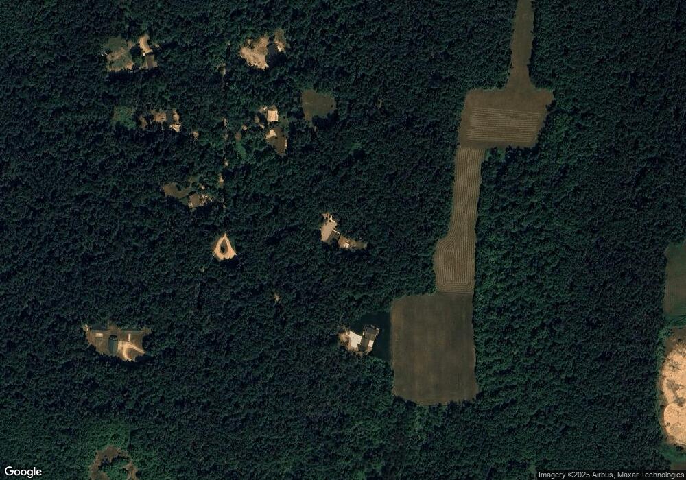
Map
Nearby Homes
- 2171 Sanctuary Dr
- 2194 N Blackrock Way Unit 43
- 899 S State Rd
- 2360 Columbia Point Unit Lot56
- Lot 2 True Dr N
- TBD Sturgeon Bay Dr Unit 26
- TBD Sturgeon Bay Dr Unit Lors 1 & 2
- TBD Wintergreen Dr
- Lot 1 Leeward Dr
- TBD Sturgeon Bay Dr
- 2210 Black Rock Unit 42
- 9400 W Robinson Rd Unit 2
- 9400 W Robinson Rd Unit 1
- 3882 S State Rd
- 2135 Welsheimer Rd
- 4268 Lightfoot Rd
- 2508 Terpening Rd
- 4399 Terpening Rd
- 3402 Needles Dr Unit Lot 16
- 3395 Needles Dr Unit Lot 26