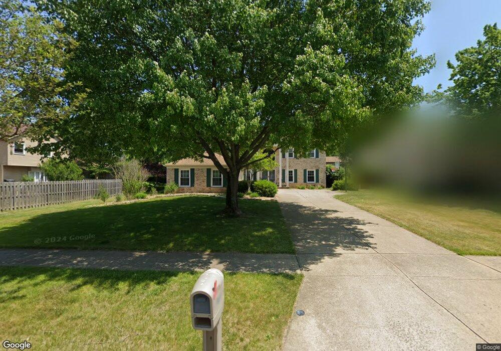
1811 Sperrys Forge Trail Unit T Westlake, OH 44145
Estimated Value: $577,000 - $644,000
4
Beds
3
Baths
3,280
Sq Ft
$185/Sq Ft
Est. Value
About This Home
This home is located at 1811 Sperrys Forge Trail Unit T, Westlake, OH 44145 and is currently estimated at $605,685, approximately $184 per square foot. 1811 Sperrys Forge Trail Unit T is a home located in Cuyahoga County with nearby schools including Dover Intermediate School, Lee Burneson Middle School, and Westlake High School.
Ownership History
Date
Name
Owned For
Owner Type
Purchase Details
Closed on
Nov 27, 2017
Sold by
Mays Thomas C and Mays Mary Beth
Bought by
Weng Yilan and Fortner John A
Current Estimated Value
Home Financials for this Owner
Home Financials are based on the most recent Mortgage that was taken out on this home.
Original Mortgage
$300,000
Outstanding Balance
$166,849
Interest Rate
3.91%
Mortgage Type
New Conventional
Estimated Equity
$438,836
Purchase Details
Closed on
Aug 17, 1993
Sold by
Young Robert C
Bought by
Mays Thomas C
Purchase Details
Closed on
Sep 23, 1986
Bought by
Young Robert C
Purchase Details
Closed on
Jan 1, 1986
Bought by
Hennie Homes Inc
Create a Home Valuation Report for This Property
The Home Valuation Report is an in-depth analysis detailing your home's value as well as a comparison with similar homes in the area
Home Values in the Area
Average Home Value in this Area
Purchase History
| Date | Buyer | Sale Price | Title Company |
|---|---|---|---|
| Weng Yilan | $375,000 | Ohio Real Title | |
| Mays Thomas C | $264,000 | -- | |
| Young Robert C | $185,600 | -- | |
| Hennie Homes Inc | -- | -- |
Source: Public Records
Mortgage History
| Date | Status | Borrower | Loan Amount |
|---|---|---|---|
| Open | Weng Yilan | $300,000 |
Source: Public Records
Tax History Compared to Growth
Tax History
| Year | Tax Paid | Tax Assessment Tax Assessment Total Assessment is a certain percentage of the fair market value that is determined by local assessors to be the total taxable value of land and additions on the property. | Land | Improvement |
|---|---|---|---|---|
| 2024 | $8,499 | $179,410 | $32,760 | $146,650 |
| 2023 | $7,801 | $140,780 | $26,010 | $114,770 |
| 2022 | $7,676 | $140,770 | $26,010 | $114,770 |
| 2021 | $7,686 | $140,770 | $26,010 | $114,770 |
| 2020 | $7,757 | $130,340 | $24,080 | $106,260 |
| 2019 | $7,521 | $372,400 | $68,800 | $303,600 |
| 2018 | $3,777 | $130,340 | $24,080 | $106,260 |
| 2017 | $7,733 | $125,480 | $23,870 | $101,610 |
| 2016 | $7,692 | $125,480 | $23,870 | $101,610 |
| 2015 | $6,996 | $125,480 | $23,870 | $101,610 |
| 2014 | $6,996 | $112,040 | $21,320 | $90,720 |
Source: Public Records
Map
Nearby Homes
- 1900 Sperrys Forge Trail
- 28323 Farrs Garden Path
- 28167 Zinfandel Ct
- 28744 Woodmill Dr
- 27923 Hilliard Blvd
- Bowman Plan at Hope Pointe Place
- Ashton Plan at Hope Pointe Place
- 1721 Merlot Ln
- 28200 Detroit Rd Unit D3
- 28140 Detroit Rd Unit D3
- 29379 Detroit Rd
- 29363 Detroit Rd Unit 5
- 29331 Graystone Dr
- 1476 Bobby Ln Unit 7
- 0 Hilliard Blvd Unit 5150693
- 0 Hilliard Blvd Unit 5128276
- 1625 Cedarwood Dr Unit 218
- 879 S Parkside Dr
- 27841 Birchwood Ct
- 28080 Center Ridge Rd
- 1811 Sperrys Forge Trail
- 1819 Sperrys Forge Trail
- 28131 Settlers Reserve Way
- 1827 Sperrys Forge Trail
- 28099 Settlers Reserve Way
- 1810 Coes Post Run
- 1818 Coes Post Run
- 28163 Settlers Reserve Way
- 1835 Sperrys Forge Trail
- 1812 Sperrys Forge Trail
- 1826 Coes Post Run
- 1802 Coes Post Run
- 1820 Sperrys Forge Trail
- 1828 Sperrys Forge Trail
- 1834 Coes Post Run
- 28179 Settlers Reserve Way
- 1843 Sperrys Forge Trail
- 28114 Settlers Reserve Way
- 28130 Settlers Reserve Way
- 1836 Sperrys Forge Trail