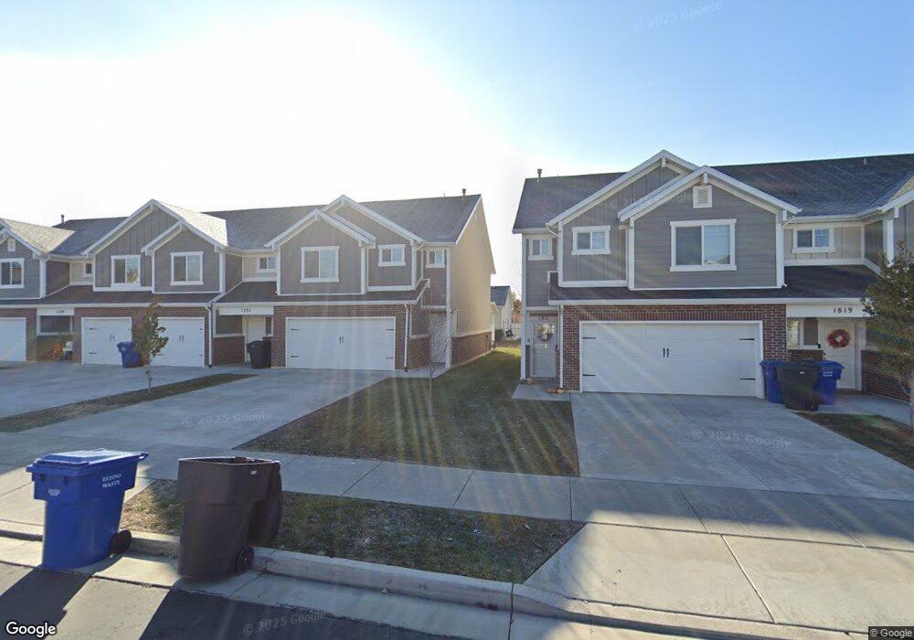
1811 W 675 N West Point, UT 84015
Estimated Value: $364,000 - $394,000
3
Beds
3
Baths
1,567
Sq Ft
$246/Sq Ft
Est. Value
About This Home
This home is located at 1811 W 675 N, West Point, UT 84015 and is currently estimated at $384,984, approximately $245 per square foot. 1811 W 675 N is a home located in Davis County with nearby schools including Lakeside School, West Point Junior High School, and Syracuse High School.
Ownership History
Date
Name
Owned For
Owner Type
Purchase Details
Closed on
Nov 25, 2020
Sold by
Sulser Brant A and Mair Whitley
Bought by
Suiser Brant Alden and Mair Whitley
Current Estimated Value
Home Financials for this Owner
Home Financials are based on the most recent Mortgage that was taken out on this home.
Original Mortgage
$245,735
Outstanding Balance
$218,669
Interest Rate
2.8%
Mortgage Type
New Conventional
Estimated Equity
$166,315
Purchase Details
Closed on
Jan 23, 2019
Sold by
Castle Creek Homes Llc
Bought by
Whitley Sulser Brant A and Whitley Mair
Home Financials for this Owner
Home Financials are based on the most recent Mortgage that was taken out on this home.
Original Mortgage
$230,743
Interest Rate
4.98%
Mortgage Type
FHA
Create a Home Valuation Report for This Property
The Home Valuation Report is an in-depth analysis detailing your home's value as well as a comparison with similar homes in the area
Home Values in the Area
Average Home Value in this Area
Purchase History
| Date | Buyer | Sale Price | Title Company |
|---|---|---|---|
| Suiser Brant Alden | -- | Us Title Company O | |
| Whitley Sulser Brant A | -- | Mountain View Title |
Source: Public Records
Mortgage History
| Date | Status | Borrower | Loan Amount |
|---|---|---|---|
| Open | Suiser Brant Alden | $245,735 | |
| Closed | Whitley Sulser Brant A | $230,743 |
Source: Public Records
Tax History Compared to Growth
Tax History
| Year | Tax Paid | Tax Assessment Tax Assessment Total Assessment is a certain percentage of the fair market value that is determined by local assessors to be the total taxable value of land and additions on the property. | Land | Improvement |
|---|---|---|---|---|
| 2025 | $2,107 | $197,450 | $72,600 | $124,850 |
| 2024 | $1,934 | $182,050 | $52,250 | $129,800 |
| 2023 | $1,975 | $342,000 | $88,000 | $254,000 |
| 2022 | $2,014 | $190,850 | $46,200 | $144,650 |
| 2021 | $1,848 | $262,000 | $67,000 | $195,000 |
| 2020 | $1,680 | $235,000 | $62,400 | $172,600 |
| 2019 | $1,433 | $197,750 | $60,000 | $137,750 |
| 2018 | $829 | $62,000 | $62,000 | $0 |
Source: Public Records
Map
Nearby Homes
- 1805 W 675 N
- 1832 W 725 N
- 1827 W 775 N
- 1652 W 560 N
- 1774 W 400 N
- 607 N 2000 W
- 2132 W 800 N
- 575 N 1350 W Unit 137
- 1350 W 300 N Unit 49
- 1350 W 300 N Unit 38
- 1350 W 300 N Unit 29
- 563 N 1350 W Unit 139
- 1337 W 550 N Unit 195
- 2283 W 470 N
- 2348 W 800 N
- 1122 N 1500 W
- 423 N 1250 W Unit 118
- 47 N 1750 W
- 1317 N 1850 W
- 1331 N 1850 W