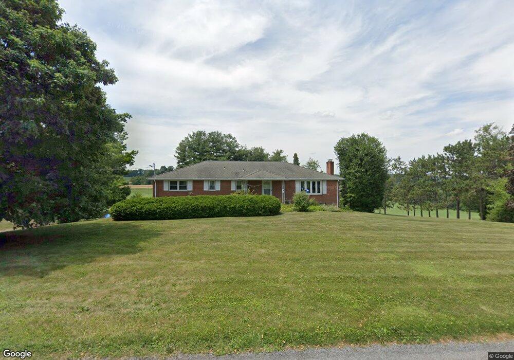
18110 Brose Rd New Freedom, PA 17349
Estimated Value: $397,581 - $454,000
3
Beds
3
Baths
2,700
Sq Ft
$160/Sq Ft
Est. Value
About This Home
This home is located at 18110 Brose Rd, New Freedom, PA 17349 and is currently estimated at $431,895, approximately $159 per square foot. 18110 Brose Rd is a home located in York County with nearby schools including Susquehannock High School, Shrewsbury Christian Academy, and St John The Baptist Catholic School.
Ownership History
Date
Name
Owned For
Owner Type
Purchase Details
Closed on
Oct 28, 2010
Sold by
Almony Evans Vickie and Almony Vickie
Bought by
Almony Vickie and Almony Evans Vickie
Current Estimated Value
Purchase Details
Closed on
Oct 31, 2008
Sold by
Zavorotny John S and Estate Of Bonnie J Moore
Bought by
Almony Evans Vickie
Home Financials for this Owner
Home Financials are based on the most recent Mortgage that was taken out on this home.
Original Mortgage
$180,000
Outstanding Balance
$118,156
Interest Rate
6.08%
Mortgage Type
Purchase Money Mortgage
Estimated Equity
$313,739
Create a Home Valuation Report for This Property
The Home Valuation Report is an in-depth analysis detailing your home's value as well as a comparison with similar homes in the area
Home Values in the Area
Average Home Value in this Area
Purchase History
| Date | Buyer | Sale Price | Title Company |
|---|---|---|---|
| Almony Vickie | -- | None Available | |
| Almony Evans Vickie | $300,000 | None Available |
Source: Public Records
Mortgage History
| Date | Status | Borrower | Loan Amount |
|---|---|---|---|
| Open | Almony Evans Vickie | $180,000 |
Source: Public Records
Tax History Compared to Growth
Tax History
| Year | Tax Paid | Tax Assessment Tax Assessment Total Assessment is a certain percentage of the fair market value that is determined by local assessors to be the total taxable value of land and additions on the property. | Land | Improvement |
|---|---|---|---|---|
| 2025 | $5,113 | $184,750 | $70,000 | $114,750 |
| 2024 | $4,967 | $184,750 | $70,000 | $114,750 |
| 2023 | $4,967 | $184,750 | $70,000 | $114,750 |
| 2022 | $4,967 | $184,750 | $70,000 | $114,750 |
| 2021 | $4,771 | $184,750 | $70,000 | $114,750 |
| 2020 | $4,771 | $184,750 | $70,000 | $114,750 |
| 2019 | $4,730 | $184,750 | $70,000 | $114,750 |
| 2018 | $4,644 | $184,750 | $70,000 | $114,750 |
| 2017 | $4,559 | $184,750 | $70,000 | $114,750 |
| 2016 | $0 | $184,750 | $70,000 | $114,750 |
| 2015 | -- | $184,750 | $70,000 | $114,750 |
| 2014 | -- | $184,750 | $70,000 | $114,750 |
Source: Public Records
Map
Nearby Homes
- 2 Dutton Rd
- 21618 York Rd
- 21525 York Rd
- 21521 York Rd
- 524 Well Dr
- 452 Hilltop Ct
- 17453 Reddale Dr
- 521 Windy Hill Rd
- 606 Freeland Rd
- 677 Keller Rd
- Lot #1 Norland Way Unit COVINGTON
- 17217 Russett Farm Dr
- 15 Foundry Rd
- 318 Eliza Rd
- MARGATE York Rd
- Hamilton York Rd
- 411 Peggy Ln
- 0 Five Forks Rd Unit PAYK2095070
- 0 Five Forks Rd Unit PAYK2095050
- Augusta Plan at Foxhaven
- 18015 Brose Rd
- 834 Stewartstown Rd
- 1265 1235 Crown Pointe Ct
- 1349 Crown Pointe Ct
- 1349 Crown Point Ct
- 1265 Crown Point Ct
- 845 Stewartstown Rd
- 1317 Crown Point Ct
- 877 Stewartstown Rd
- 899 Stewartstown Rd
- 1367 Crown Point Ct
- 1067 Gernand Ct
- 710 Stewartstown Rd
- 921 Stewartstown Rd
- 1077 Gernand Ct
- 1298 Crown Point Ct
- 1099 Gernand Ct
- 17970 Fielding Ct
- 1121 Gernand Ct
- 1387 Crown Point Ct