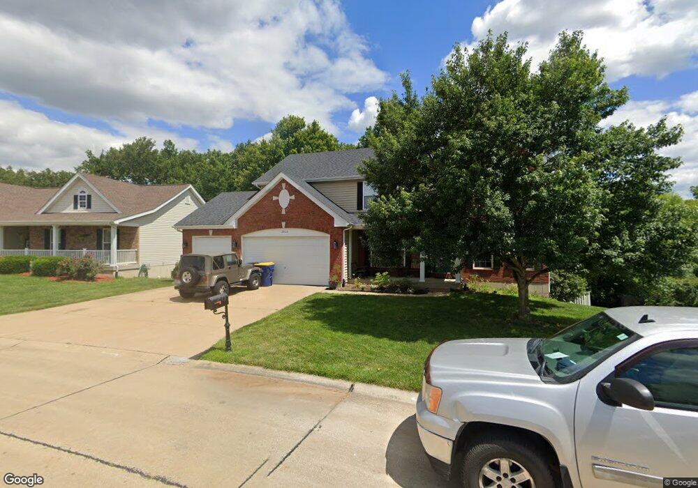
1812 Cairo Dr Festus, MO 63028
Festus/Crystal City NeighborhoodEstimated Value: $372,000 - $435,000
Studio
--
Bath
1,500
Sq Ft
$271/Sq Ft
Est. Value
About This Home
This home is located at 1812 Cairo Dr, Festus, MO 63028 and is currently estimated at $407,179, approximately $271 per square foot. 1812 Cairo Dr is a home located in Jefferson County with nearby schools including Festus Intermediate School, Festus Elementary School, and Festus Middle School.
Ownership History
Date
Name
Owned For
Owner Type
Purchase Details
Closed on
Jan 6, 2004
Sold by
J Ridge Corp
Bought by
Myers Mark E and Myers Donna
Current Estimated Value
Home Financials for this Owner
Home Financials are based on the most recent Mortgage that was taken out on this home.
Original Mortgage
$183,200
Outstanding Balance
$85,438
Interest Rate
5.86%
Mortgage Type
Purchase Money Mortgage
Estimated Equity
$321,741
Create a Home Valuation Report for This Property
The Home Valuation Report is an in-depth analysis detailing your home's value as well as a comparison with similar homes in the area
Home Values in the Area
Average Home Value in this Area
Purchase History
| Date | Buyer | Sale Price | Title Company |
|---|---|---|---|
| Myers Mark E | -- | Commonwealth Land Title |
Source: Public Records
Mortgage History
| Date | Status | Borrower | Loan Amount |
|---|---|---|---|
| Open | Myers Mark E | $183,200 | |
| Closed | Myers Mark E | $25,800 |
Source: Public Records
Tax History
| Year | Tax Paid | Tax Assessment Tax Assessment Total Assessment is a certain percentage of the fair market value that is determined by local assessors to be the total taxable value of land and additions on the property. | Land | Improvement |
|---|---|---|---|---|
| 2025 | $3,057 | $58,000 | $9,600 | $48,400 |
| 2024 | $3,057 | $54,000 | $9,600 | $44,400 |
| 2023 | $3,057 | $54,000 | $9,600 | $44,400 |
| 2022 | $2,895 | $51,400 | $7,000 | $44,400 |
| 2021 | $2,934 | $51,400 | $7,000 | $44,400 |
| 2020 | $2,796 | $45,900 | $6,100 | $39,800 |
| 2019 | $2,795 | $45,900 | $6,100 | $39,800 |
| 2018 | $2,524 | $45,900 | $6,100 | $39,800 |
| 2017 | $2,524 | $45,900 | $6,100 | $39,800 |
| 2016 | $2,352 | $42,500 | $6,000 | $36,500 |
| 2015 | $2,339 | $42,500 | $6,000 | $36,500 |
| 2013 | -- | $41,700 | $6,000 | $35,700 |
Source: Public Records
Map
Nearby Homes
- 1800 Cairo Dr
- 301 Meadow Chase Dr
- 1816 Belmont Ct
- 1829 Belmont Ct
- 716 Rosemary Ln
- 0 Bailey School Rd
- 0 Tbb Birchwood Overlook-Dogwood Unit MAR24022693
- 0
- 0 Tbb Birchwood Overlook - Maple
- 1521 Sweeney Dr
- 0 Tbb Birchwood Overlook Birchwo Unit MAR24022701
- 1950 W Main St
- TBD Cedar Ln
- 216 Gran Vista Dr
- 0 Tbb Birchwood Overlook-Red Bud Unit MAR24022708
- 707 Jerome Dr
- 0 Tbb Bichwood Overlook-Sycamore Unit MAR24022712
- 510 Rose Ln
- 1833 Sunset Ridge
- 1810 Valley View Cir
- 1808 Cairo Dr
- 1816 Cairo Dr
- 1809 Cairo Dr
- 1820 Cairo Dr
- 1804 Cairo Dr
- 1805 Cairo Dr
- 1813 Cairo Dr
- 1824 Cairo Dr
- 0Lot 239 Iron Mountain Dr
- 0Lot 160 Iron Mountain
- 0Lot 159 Iron Mountain Dr
- 1801 Cairo Dr
- 1817 Cairo Dr
- 1806 Iron Mountain Dr
- 1828 Cairo Dr
- 1712 Cairo Dr
- 1821 Cairo Dr
- 1810 Iron Mountain Dr
- 1814 Iron Mountain Dr
- 1709 Cairo Dr
Your Personal Tour Guide
Ask me questions while you tour the home.