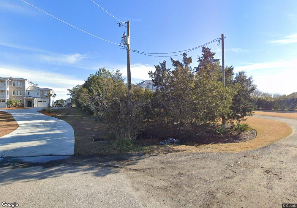
1812 Corcus Ferry Rd Hampstead, NC 28443
Estimated Value: $691,000 - $1,839,249
3
Beds
3
Baths
3,288
Sq Ft
$337/Sq Ft
Est. Value
About This Home
This home is located at 1812 Corcus Ferry Rd, Hampstead, NC 28443 and is currently estimated at $1,108,812, approximately $337 per square foot. 1812 Corcus Ferry Rd is a home with nearby schools including Topsail Elementary School, Topsail Middle School, and Topsail High School.
Ownership History
Date
Name
Owned For
Owner Type
Purchase Details
Closed on
Sep 13, 2018
Sold by
Winfield Albert E and Winfield Katherine K
Bought by
Winfield Katherine K and Winfield Albert E
Current Estimated Value
Purchase Details
Closed on
Jun 6, 2012
Sold by
Hogan Thomas B and Hogan Martha R
Bought by
Winfield Albert E and Winfield Katherine K
Purchase Details
Closed on
Jan 26, 2005
Sold by
Exchange Accommodators Inc
Bought by
Hogan Thomas B and Hogan Martha R
Purchase Details
Closed on
Nov 22, 2004
Sold by
Green Philip J and Green Linda L
Bought by
Exchange Accommodators Inc
Create a Home Valuation Report for This Property
The Home Valuation Report is an in-depth analysis detailing your home's value as well as a comparison with similar homes in the area
Home Values in the Area
Average Home Value in this Area
Purchase History
| Date | Buyer | Sale Price | Title Company |
|---|---|---|---|
| Winfield Katherine K | -- | None Available | |
| Winfleld Albert E | -- | None Available | |
| Winfield Albert E | $465,000 | None Available | |
| Hogan Thomas B | $775,000 | -- | |
| Exchange Accommodators Inc | -- | -- |
Source: Public Records
Tax History Compared to Growth
Tax History
| Year | Tax Paid | Tax Assessment Tax Assessment Total Assessment is a certain percentage of the fair market value that is determined by local assessors to be the total taxable value of land and additions on the property. | Land | Improvement |
|---|---|---|---|---|
| 2024 | $8,105 | $854,587 | $436,825 | $417,762 |
| 2023 | $7,334 | $854,587 | $436,825 | $417,762 |
| 2022 | $7,334 | $854,587 | $436,825 | $417,762 |
| 2021 | $7,334 | $854,587 | $436,825 | $417,762 |
| 2020 | $7,334 | $854,587 | $436,825 | $417,762 |
| 2019 | $4,902 | $562,426 | $436,825 | $125,601 |
| 2018 | $8,909 | $995,928 | $600,135 | $395,793 |
| 2017 | $8,909 | $995,928 | $600,135 | $395,793 |
| 2016 | $8,810 | $995,928 | $600,135 | $395,793 |
| 2015 | $5,265 | $995,928 | $600,135 | $395,793 |
| 2014 | $4,685 | $995,928 | $600,135 | $395,793 |
| 2013 | -- | $699,738 | $600,135 | $99,603 |
| 2012 | -- | $583,685 | $583,685 | $0 |
Source: Public Records
Map
Nearby Homes
- 109 Broadview Ln
- 109 Broadview Ln Unit A
- 112 Coastal Bluffs Ct
- 109c Corcus Ferry Rd
- 7 Waterfront Place
- 141 Voyager Way
- 11 Amidships Ln
- 140 Circle Dr
- 22 Watchpost Place
- 102 Watchpost Place
- Bismark Plan at Salters Haven
- Gramercy Plan at Salters Haven
- Cherry Plan at Salters Haven
- Westbury Plan at Salters Haven
- Wells Plan at Salters Haven
- Elizabeth Plan at Salters Haven
- Ellis Plan at Salters Haven
- Bryant Plan at Salters Haven
- Cypress Plan at Salters Haven
- Hayden Plan at Salters Haven
- 1760 Corcus Ferry Rd
- 1832 Corcus Ferry Rd
- 101 Marina Harbor
- 1751 Corcus Ferry Rd
- 191 Howards Ln
- 1836 Corcus Ferry Rd
- 213 Howards Ln
- 1725 Corcus Ferry Rd
- 1724 Corcus Ferry Rd
- 214 Howards Ln
- Lot 15 Howards Ln
- Lot 16 Howards Ln
- Lot 11 Howards Ln
- Lot 10 Howards Ln
- 233 Howards Ln
- 16 Howards Ln
- 123 Howards Ln
- 0 Howards Ln
- Lot 3 & 3a Howards Ln
- 140 Howards Ln
