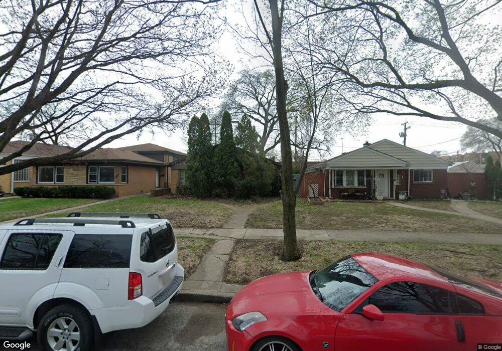
1812 Dobson St Evanston, IL 60202
Howard Street NeighborhoodEstimated Value: $408,000 - $483,000
3
Beds
1
Bath
1,222
Sq Ft
$364/Sq Ft
Est. Value
About This Home
This home is located at 1812 Dobson St, Evanston, IL 60202 and is currently estimated at $444,579, approximately $363 per square foot. 1812 Dobson St is a home located in Cook County with nearby schools including Dawes Elementary School, Chute Middle School, and Evanston Township High School.
Ownership History
Date
Name
Owned For
Owner Type
Purchase Details
Closed on
Jul 25, 2019
Sold by
Taylor Thomas Karen Irene
Bought by
Clifford David L
Current Estimated Value
Home Financials for this Owner
Home Financials are based on the most recent Mortgage that was taken out on this home.
Original Mortgage
$130,000
Outstanding Balance
$113,845
Interest Rate
3.8%
Mortgage Type
New Conventional
Estimated Equity
$330,734
Purchase Details
Closed on
Oct 29, 2009
Sold by
Taylor Caryl C and Taylor Larry N
Bought by
The Caryl C Taylor & Larry N Taylor Join
Create a Home Valuation Report for This Property
The Home Valuation Report is an in-depth analysis detailing your home's value as well as a comparison with similar homes in the area
Home Values in the Area
Average Home Value in this Area
Purchase History
| Date | Buyer | Sale Price | Title Company |
|---|---|---|---|
| Clifford David L | -- | Fidelity National Title | |
| The Caryl C Taylor & Larry N Taylor Join | -- | None Available |
Source: Public Records
Mortgage History
| Date | Status | Borrower | Loan Amount |
|---|---|---|---|
| Open | Clifford David L | $130,000 |
Source: Public Records
Tax History Compared to Growth
Tax History
| Year | Tax Paid | Tax Assessment Tax Assessment Total Assessment is a certain percentage of the fair market value that is determined by local assessors to be the total taxable value of land and additions on the property. | Land | Improvement |
|---|---|---|---|---|
| 2024 | $7,849 | $32,000 | $8,000 | $24,000 |
| 2023 | $7,530 | $32,000 | $8,000 | $24,000 |
| 2022 | $7,530 | $32,000 | $8,000 | $24,000 |
| 2021 | $7,014 | $26,079 | $4,250 | $21,829 |
| 2020 | $6,918 | $26,079 | $4,250 | $21,829 |
| 2019 | $6,909 | $29,107 | $4,250 | $24,857 |
| 2018 | $6,975 | $25,125 | $3,500 | $21,625 |
| 2017 | $6,792 | $25,125 | $3,500 | $21,625 |
| 2016 | $6,440 | $25,125 | $3,500 | $21,625 |
| 2015 | $5,865 | $21,565 | $4,125 | $17,440 |
| 2014 | $4,488 | $21,565 | $4,125 | $17,440 |
| 2013 | $3,994 | $21,565 | $4,125 | $17,440 |
Source: Public Records
Map
Nearby Homes
- 1726 Dobson St
- 215 Brown Ave
- 1615 W Howard St Unit 303
- 2011 Brummel St
- 309 Darrow Ave
- 2130 Brummel St
- 235 Richmond St
- 325 Dodge Ave
- 220 Richmond St
- 1406 Brummel St
- 2522 W Jarvis Ave
- 401 Dewey Ave
- 347 Florence Ave
- 3024 W Fargo Ave
- 419 Florence Ave
- 1810 South Blvd
- 1200 Dobson St
- 2650 W Touhy Ave
- 7249 N Campbell Ave Unit B
- 1927 Warren St