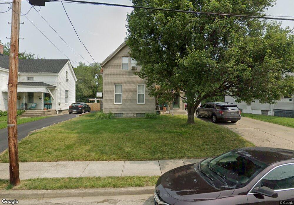
1812 Elm Ave Cincinnati, OH 45212
Estimated Value: $207,000 - $259,000
4
Beds
1
Bath
1,516
Sq Ft
$152/Sq Ft
Est. Value
About This Home
This home is located at 1812 Elm Ave, Cincinnati, OH 45212 and is currently estimated at $230,745, approximately $152 per square foot. 1812 Elm Ave is a home located in Hamilton County with nearby schools including Norwood High School, Cornerstone Christian Academy, and Immaculate Conception Academy.
Ownership History
Date
Name
Owned For
Owner Type
Purchase Details
Closed on
May 16, 2014
Sold by
Carnes Jean D and Carnes James
Bought by
Smith Mary Lee
Current Estimated Value
Purchase Details
Closed on
Feb 25, 2014
Sold by
Estate Of Earl J Schwieterman
Bought by
Smith Mary Lee and Novak Sally J
Purchase Details
Closed on
Oct 21, 1999
Sold by
Schwieterman Mary A
Bought by
Schwieterman Earl J
Create a Home Valuation Report for This Property
The Home Valuation Report is an in-depth analysis detailing your home's value as well as a comparison with similar homes in the area
Home Values in the Area
Average Home Value in this Area
Purchase History
| Date | Buyer | Sale Price | Title Company |
|---|---|---|---|
| Smith Mary Lee | $17,250 | None Available | |
| Novak Sally J | $17,250 | Attorney | |
| Smith Mary Lee | -- | Attorney | |
| Schwieterman Earl J | -- | -- |
Source: Public Records
Tax History Compared to Growth
Tax History
| Year | Tax Paid | Tax Assessment Tax Assessment Total Assessment is a certain percentage of the fair market value that is determined by local assessors to be the total taxable value of land and additions on the property. | Land | Improvement |
|---|---|---|---|---|
| 2024 | $2,086 | $51,650 | $13,108 | $38,542 |
| 2023 | $2,186 | $51,650 | $13,108 | $38,542 |
| 2022 | $1,575 | $34,455 | $8,803 | $25,652 |
| 2021 | $1,517 | $34,455 | $8,803 | $25,652 |
| 2020 | $1,536 | $34,455 | $8,803 | $25,652 |
| 2019 | $1,384 | $30,223 | $7,721 | $22,502 |
| 2018 | $1,959 | $30,223 | $7,721 | $22,502 |
| 2017 | $1,846 | $30,223 | $7,721 | $22,502 |
| 2016 | $2,040 | $32,214 | $7,259 | $24,955 |
| 2015 | $1,819 | $32,214 | $7,259 | $24,955 |
| 2014 | $1,903 | $32,214 | $7,259 | $24,955 |
| 2013 | $1,412 | $34,269 | $7,721 | $26,548 |
Source: Public Records
Map
Nearby Homes
- 4639 Carter Ave
- 1915 Maple Ave
- 1817 Sherman Ave
- 4627 Mcneil Ave
- 1835 Sherman Ave
- 1937 Maple Ave
- 1901 Sherman Ave
- 1944 Maple Ave
- 1701 Sherman Ave
- 4719 Section Ave
- 1841 Mills Ave
- 1810 Lincoln Ave
- 4635 Baker St
- 2005 Crown Ave
- 2012 Lawrence Ave
- 1803 Courtland Ave
- 1354 Avon Dr
- 4205 Lowry Ave
- 1833 Hopkins Ave
- 1939 Lawn Ave