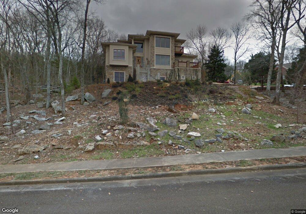
1812 Gaslight Way NE Huntsville, AL 35801
Blossomwood NeighborhoodEstimated Value: $569,000 - $695,748
4
Beds
4
Baths
4,300
Sq Ft
$148/Sq Ft
Est. Value
About This Home
This home is located at 1812 Gaslight Way NE, Huntsville, AL 35801 and is currently estimated at $637,687, approximately $148 per square foot. 1812 Gaslight Way NE is a home located in Madison County with nearby schools including Chapman Elementary School, Chapman Middle School, and Lee High School.
Ownership History
Date
Name
Owned For
Owner Type
Purchase Details
Closed on
Jan 28, 2011
Sold by
Mcdonald Kenneth G and Mcdonald Elizabeth Ann
Bought by
Betterton Victoria Anne
Current Estimated Value
Home Financials for this Owner
Home Financials are based on the most recent Mortgage that was taken out on this home.
Original Mortgage
$275,000
Outstanding Balance
$10,509
Interest Rate
4.66%
Mortgage Type
New Conventional
Estimated Equity
$627,178
Purchase Details
Closed on
Sep 22, 2009
Sold by
Mcdonald Kenneth G and Mcdonald Elizabeth A
Bought by
Mcdonald Kenneth G and Mcdonald Elizabeth Ann
Create a Home Valuation Report for This Property
The Home Valuation Report is an in-depth analysis detailing your home's value as well as a comparison with similar homes in the area
Home Values in the Area
Average Home Value in this Area
Purchase History
| Date | Buyer | Sale Price | Title Company |
|---|---|---|---|
| Betterton Victoria Anne | -- | -- | |
| Mcdonald Kenneth G | -- | -- |
Source: Public Records
Mortgage History
| Date | Status | Borrower | Loan Amount |
|---|---|---|---|
| Open | Betterton Victoria Anne | $275,000 |
Source: Public Records
Tax History Compared to Growth
Tax History
| Year | Tax Paid | Tax Assessment Tax Assessment Total Assessment is a certain percentage of the fair market value that is determined by local assessors to be the total taxable value of land and additions on the property. | Land | Improvement |
|---|---|---|---|---|
| 2024 | $2,924 | $51,240 | $4,760 | $46,480 |
| 2023 | $2,924 | $48,860 | $4,760 | $44,100 |
| 2022 | $2,381 | $41,880 | $4,260 | $37,620 |
| 2021 | $2,119 | $37,360 | $4,260 | $33,100 |
| 2020 | $2,119 | $37,340 | $4,250 | $33,090 |
| 2019 | $2,056 | $36,270 | $4,250 | $32,020 |
| 2018 | $2,185 | $38,500 | $0 | $0 |
| 2017 | $2,047 | $36,120 | $0 | $0 |
| 2016 | $2,047 | $36,120 | $0 | $0 |
| 2015 | $2,378 | $41,820 | $0 | $0 |
| 2014 | $2,269 | $39,940 | $0 | $0 |
Source: Public Records
Map
Nearby Homes
- 2312 Oakwood Ave NE
- 2407 Bankhead Pkwy NE
- 2014 Chambers Dr NE
- 2033 Dellbrook Dr NE
- 2018 Polk Dr NE
- 2011 Wooddale Dr NE
- 2200 Isabelle Cir NE
- 2815 Talon Cir
- 2819 Talon Cir
- 1719 Oakwood Ave NE
- 2212 Toll Gate Rd SE
- 1900 Randy Ct NE
- 117 Knollridge Dr
- 1712 Wakefield Dr NE
- 508 Owens Dr SE
- 2104 Greenslope Trail NE
- 1901 Epworth Dr NE
- 3620 Fearn St SE
- 2206 Toll Gate Rd SE
- 211 Knollridge Cir SE
- 134 Darlington Rd NE
- 1814 Gaslight Way NE
- 0 Sandusky Dr NE Unit 1135981
- 1810 Gaslight Way NE
- 132 NE Darlington Rd
- 40 Darlington Rd NE
- 39 Darlington Rd NE
- 147 Darlington Rd NE
- 1811 Gaslight Way NE
- 128 Darlington Rd NE
- 1809 Gaslight Way NE
- 2401 Hayleys Way NE
- 114 Sandusky St NE
- 36 Darlington Rd NE
- 113 Sandusky St NE
- 35 Darlington Rd NE
- 1807 Gaslight Way NE
- 1900 Orba Dr NE
- 112 Sandusky St NE
- Lot 34 Darlington Rd