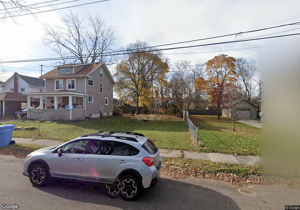
1812 Linval St Lansing, MI 48910
Fabulous Acres NeighborhoodEstimated Value: $22,000 - $101,000
--
Bed
1
Bath
1,120
Sq Ft
$55/Sq Ft
Est. Value
About This Home
This home is located at 1812 Linval St, Lansing, MI 48910 and is currently estimated at $61,500, approximately $54 per square foot. 1812 Linval St is a home located in Ingham County with nearby schools including Lyons Elementary School, Pattengill Academy, and Eastern High School.
Ownership History
Date
Name
Owned For
Owner Type
Purchase Details
Closed on
May 4, 2021
Sold by
Ingham Cnty Land Bk Fast Track Authority
Bought by
Rahme Marie
Current Estimated Value
Purchase Details
Closed on
Dec 31, 2014
Sold by
Ingham County
Bought by
Ingham County Land Bank Fast Track Autho
Purchase Details
Closed on
Dec 30, 2014
Sold by
Schertzing Eric
Bought by
County Of Ingham
Purchase Details
Closed on
Mar 8, 1993
Sold by
Basinger Hobart
Bought by
Basinger Hobart A and Basinger Margaret H
Create a Home Valuation Report for This Property
The Home Valuation Report is an in-depth analysis detailing your home's value as well as a comparison with similar homes in the area
Home Values in the Area
Average Home Value in this Area
Purchase History
| Date | Buyer | Sale Price | Title Company |
|---|---|---|---|
| Rahme Marie | $1,000 | None Available | |
| Ingham County Land Bank Fast Track Autho | -- | None Available | |
| County Of Ingham | -- | None Available | |
| Basinger Hobart A | -- | -- |
Source: Public Records
Tax History Compared to Growth
Tax History
| Year | Tax Paid | Tax Assessment Tax Assessment Total Assessment is a certain percentage of the fair market value that is determined by local assessors to be the total taxable value of land and additions on the property. | Land | Improvement |
|---|---|---|---|---|
| 2025 | $187 | $2,500 | $2,500 | $0 |
| 2024 | $2 | $2,500 | $2,500 | $0 |
| 2023 | $176 | $2,500 | $2,500 | $0 |
| 2022 | $160 | $2,100 | $2,100 | $0 |
| 2021 | $0 | $0 | $0 | $0 |
| 2020 | $0 | $0 | $0 | $0 |
| 2019 | $0 | $0 | $0 | $0 |
| 2018 | $0 | $0 | $0 | $0 |
| 2017 | $0 | $0 | $0 | $0 |
| 2016 | $6,021 | $0 | $0 | $0 |
| 2015 | $6,021 | $4,118 | $4,118 | $0 |
| 2014 | $6,021 | $16,500 | $3,168 | $13,332 |
Source: Public Records
Map
Nearby Homes
- 1810 Linval St
- 1822 Linval St
- 569 E Mount Hope Ave
- 569 E Mt Hope
- 567 E Mount Hope Ave
- 575 E Mount Hope Ave
- 1806 Linval St
- 579 E Mount Hope Ave
- 565 E Mount Hope Ave
- 1802 Linval St
- 1823 Linval St
- 1825 Linval St
- 550 Norman St
- 601 E Mount Hope Ave
- 560 Norman St
- 1821 Linval St
- 556 Norman St
- 1817 Linval St
- 1815 Linval St