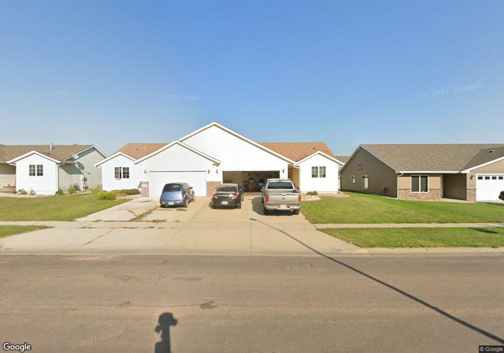
1812 Mulberry Ave Unit K Brandon, SD 57005
Estimated Value: $240,000 - $254,000
About This Home
This home is located at 1812 Mulberry Ave Unit K, Brandon, SD 57005 and is currently estimated at $245,736, approximately $155 per square foot. 1812 Mulberry Ave Unit K is a home located in Minnehaha County with nearby schools including Robert Bennis Elementary School, Brandon Valley Intermediate School, and Brandon Valley Middle School.
Ownership History
Purchase Details
Home Financials for this Owner
Home Financials are based on the most recent Mortgage that was taken out on this home.Home Values in the Area
Average Home Value in this Area
Purchase History
We collect this data history from publicly available records. To have your information removed, we recommend requesting removal directly through your county’s website.
| Date | Buyer | Sale Price | Title Company |
|---|---|---|---|
| Churning Melissa Christina Leanne | $240,000 | -- | |
| Churning Melissa Christina Leanne | $240,000 | -- |
Mortgage History
We collect this data history from publicly available records. To have your information removed, we recommend requesting removal directly through your county’s website.
| Date | Status | Borrower | Loan Amount |
|---|---|---|---|
| Open | Churning Melissa Christina Leanne | $239,900 | |
| Closed | Churning Melissa Christina Leanne | $239,900 |
Tax History
| Year | Tax Paid | Tax Assessment Tax Assessment Total Assessment is a certain percentage of the fair market value that is determined by local assessors to be the total taxable value of land and additions on the property. | Land | Improvement |
|---|---|---|---|---|
| 2025 | $2,433 | $185,400 | $7,000 | $178,400 |
| 2024 | $2,433 | $188,000 | $5,700 | $182,300 |
| 2023 | $2,692 | $194,500 | $5,700 | $188,800 |
| 2022 | $2,505 | $171,300 | $5,700 | $165,600 |
| 2021 | $2,142 | $146,400 | $0 | $0 |
| 2020 | $2,142 | $136,100 | $0 | $0 |
| 2019 | $2,275 | $141,900 | $0 | $0 |
| 2018 | $1,941 | $125,396 | $0 | $0 |
| 2017 | $1,962 | $119,619 | $2,711 | $116,908 |
| 2016 | $1,962 | $118,868 | $2,711 | $116,157 |
| 2015 | $2,038 | $118,144 | $1,987 | $116,157 |
| 2014 | $2,029 | $117,267 | $1,987 | $115,280 |
Map
- 1812 Mulberry Ave Unit H
- 1812 Mulberry Ave Unit C
- 1001 S Moonlight Cir
- 1709 Parkview Blvd
- 209 W Ironwood St
- 1609 Locust Ave
- 1600 Parkview Blvd
- 301 River Oak St
- 312 W Evergreen Dr
- 1205 S Moonlight Dr Dr
- 1208 S Moonlight Dr Dr
- 1204 S Moonlight Dr Dr
- 1200 S Moonlight Dr Dr
- 1116 S Moonlight Dr Dr
- 1113 S Moonlight Dr Dr
- 1121 S Oakland Cir
- 1113 S Oakland Cir
- 1125 S Oakland Cir
- 1204 S Oakland Cir
- 1208 S Oakland Cir
- 1812 Mulberry Ave Unit J
- 1812 Mulberry Ave Unit G
- 1812 Mulberry Ave Unit F
- 1812 Mulberry Ave Unit E
- 1812 Mulberry Ave Unit D
- 1812 Mulberry Ave Unit B
- 1812 Mulberry Ave Unit A
- 1812 Mulberry Ave
- 1812 S Mulberry Ave Unit H
- 1812 S Mulberry Ave Unit E
- 1812 S Mulberry Ave Unit F
- 1812 S Mulberry Ave Unit C
- 1808 Locust Ave
- 1806 Locust Ave
- 1812 S Locust Ave
- 1808 S Mulberry Ave Unit A
- 1808 S Mulberry Ave
- 1808 S Mulberry Ave Unit F
- 1804 Locust Ave
- 1802 Locust Ave
Ask me questions while you tour the home.