1812 N 210 W Tooele, UT 84074
Estimated Value: $417,000 - $476,000
3
Beds
3
Baths
2,662
Sq Ft
$169/Sq Ft
Est. Value
About This Home
This home is located at 1812 N 210 W, Tooele, UT 84074 and is currently estimated at $449,952, approximately $169 per square foot. 1812 N 210 W is a home located in Tooele County with nearby schools including Overlake Elementary School, Clarke N. Johnsen Junior High School, and Stansbury High School.
Ownership History
Date
Name
Owned For
Owner Type
Purchase Details
Closed on
Feb 5, 2018
Sold by
Hiller Andrew
Bought by
Gore Donald
Current Estimated Value
Home Financials for this Owner
Home Financials are based on the most recent Mortgage that was taken out on this home.
Original Mortgage
$205,535
Outstanding Balance
$176,246
Interest Rate
4.5%
Mortgage Type
FHA
Estimated Equity
$273,706
Purchase Details
Closed on
Dec 7, 2011
Sold by
Ramsey Jill and Flanagan Jill
Bought by
Ramsey Chad
Home Financials for this Owner
Home Financials are based on the most recent Mortgage that was taken out on this home.
Original Mortgage
$153,061
Interest Rate
4.06%
Mortgage Type
New Conventional
Create a Home Valuation Report for This Property
The Home Valuation Report is an in-depth analysis detailing your home's value as well as a comparison with similar homes in the area
Home Values in the Area
Average Home Value in this Area
Purchase History
| Date | Buyer | Sale Price | Title Company |
|---|---|---|---|
| Gore Donald | -- | Gt Title Services | |
| Ramsey Chad | -- | First American Title Company | |
| Hiller Andrew | -- | First American Title Company |
Source: Public Records
Mortgage History
| Date | Status | Borrower | Loan Amount |
|---|---|---|---|
| Open | Gore Donald | $205,535 | |
| Previous Owner | Hiller Andrew | $153,061 |
Source: Public Records
Tax History Compared to Growth
Tax History
| Year | Tax Paid | Tax Assessment Tax Assessment Total Assessment is a certain percentage of the fair market value that is determined by local assessors to be the total taxable value of land and additions on the property. | Land | Improvement |
|---|---|---|---|---|
| 2025 | $2,965 | $434,436 | $121,250 | $313,186 |
| 2024 | $2,906 | $214,912 | $66,688 | $148,224 |
| 2023 | $2,906 | $235,489 | $63,487 | $172,002 |
| 2022 | $3,028 | $250,243 | $74,993 | $175,250 |
| 2021 | $2,607 | $179,104 | $26,022 | $153,082 |
| 2020 | $2,445 | $295,823 | $47,313 | $248,510 |
| 2019 | $2,281 | $273,231 | $47,313 | $225,918 |
| 2018 | $1,987 | $226,456 | $35,000 | $191,456 |
| 2017 | $1,551 | $209,051 | $35,000 | $174,051 |
| 2016 | $1,308 | $97,540 | $11,000 | $86,540 |
| 2015 | $1,308 | $92,745 | $0 | $0 |
| 2014 | $1,123 | $92,745 | $0 | $0 |
Source: Public Records
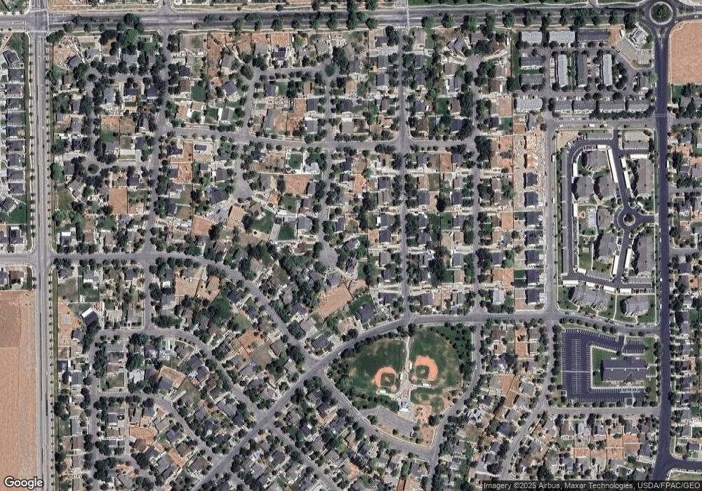
Map
Nearby Homes
- 1861 N 70 W Unit 616
- Drysdale Twinhomes Plan at Drysdale Twinhomes
- 1877 N 70 W Unit 618
- 1893 N 70 W
- 1893 N 70 W Unit 620
- 1885 N 70 W Unit 619
- 1909 N 70 W
- 81 W 1930 N
- 1969 N 270 W
- 69 1930 N
- 295 Drysdale Way
- 1913 N 370 W
- 1558 Durocher Ln
- 535 W 2030 N Unit 23
- 61 W 1570 N
- 2057 N Loxley Dr
- 1557 Colavito Way
- 437 W 1910 N Unit 317
- 1206 N Berra Blvd
- 2117 N 170 W