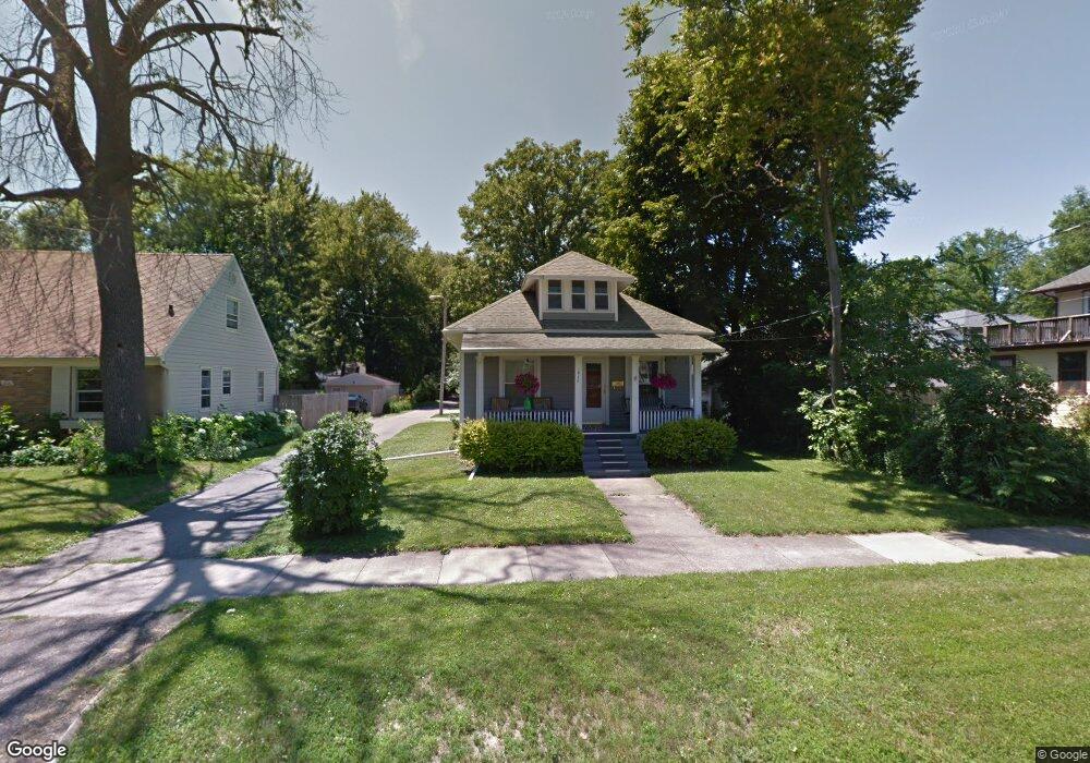
1812 Osband Ave Lansing, MI 48910
Moores Park NeighborhoodEstimated Value: $87,445 - $138,000
--
Bed
--
Bath
1,080
Sq Ft
$106/Sq Ft
Est. Value
About This Home
This home is located at 1812 Osband Ave, Lansing, MI 48910 and is currently estimated at $114,611, approximately $106 per square foot. 1812 Osband Ave is a home located in Ingham County with nearby schools including Averill Elementary School, Pattengill Academy, and J.W. Sexton High School.
Ownership History
Date
Name
Owned For
Owner Type
Purchase Details
Closed on
Mar 2, 2018
Sold by
Dodge Randy Charles
Bought by
Knowani Andrea Doge
Current Estimated Value
Home Financials for this Owner
Home Financials are based on the most recent Mortgage that was taken out on this home.
Original Mortgage
$39,000
Interest Rate
4.5%
Mortgage Type
Seller Take Back
Create a Home Valuation Report for This Property
The Home Valuation Report is an in-depth analysis detailing your home's value as well as a comparison with similar homes in the area
Home Values in the Area
Average Home Value in this Area
Purchase History
| Date | Buyer | Sale Price | Title Company |
|---|---|---|---|
| Knowani Andrea Doge | $39,000 | None Available |
Source: Public Records
Mortgage History
| Date | Status | Borrower | Loan Amount |
|---|---|---|---|
| Closed | Knowani Andrea Doge | $39,000 |
Source: Public Records
Tax History Compared to Growth
Tax History
| Year | Tax Paid | Tax Assessment Tax Assessment Total Assessment is a certain percentage of the fair market value that is determined by local assessors to be the total taxable value of land and additions on the property. | Land | Improvement |
|---|---|---|---|---|
| 2025 | $2,186 | $41,400 | $4,000 | $37,400 |
| 2024 | $17 | $42,500 | $4,000 | $38,500 |
| 2023 | $2,051 | $37,100 | $4,000 | $33,100 |
| 2022 | $1,852 | $34,800 | $5,700 | $29,100 |
| 2021 | $1,813 | $31,500 | $4,100 | $27,400 |
| 2020 | $1,802 | $30,400 | $4,100 | $26,300 |
| 2019 | $1,699 | $27,700 | $4,100 | $23,600 |
| 2018 | $1,468 | $25,300 | $4,100 | $21,200 |
| 2017 | $1,405 | $25,300 | $4,100 | $21,200 |
| 2016 | $1,344 | $24,800 | $4,100 | $20,700 |
| 2015 | $1,344 | $23,800 | $8,171 | $15,629 |
| 2014 | $1,344 | $23,200 | $4,618 | $18,582 |
Source: Public Records
Map
Nearby Homes
- 1836 Osband Ave
- 1723 Osband Ave
- 511 W Mount Hope Ave
- 2011 Osband Ave
- 712 Lenore Ave
- 907 Lenore Ave
- 1913 Stirling Ave
- 917 W Barnes Ave
- 1010 W Barnes Ave
- 1722 S Washington Ave
- 2313 S Rundle Ave
- 139 Woodlawn Ave
- 2112 Stirling Ave
- 202 Woodlawn Ave
- 2001 S Martin Luther King Junior Blvd
- 2011 S Martin Luther King jr Blvd
- 815 Woodbine Ave
- 1114 Goodrich St
- 1408 Reo Ave
- 1116 George St