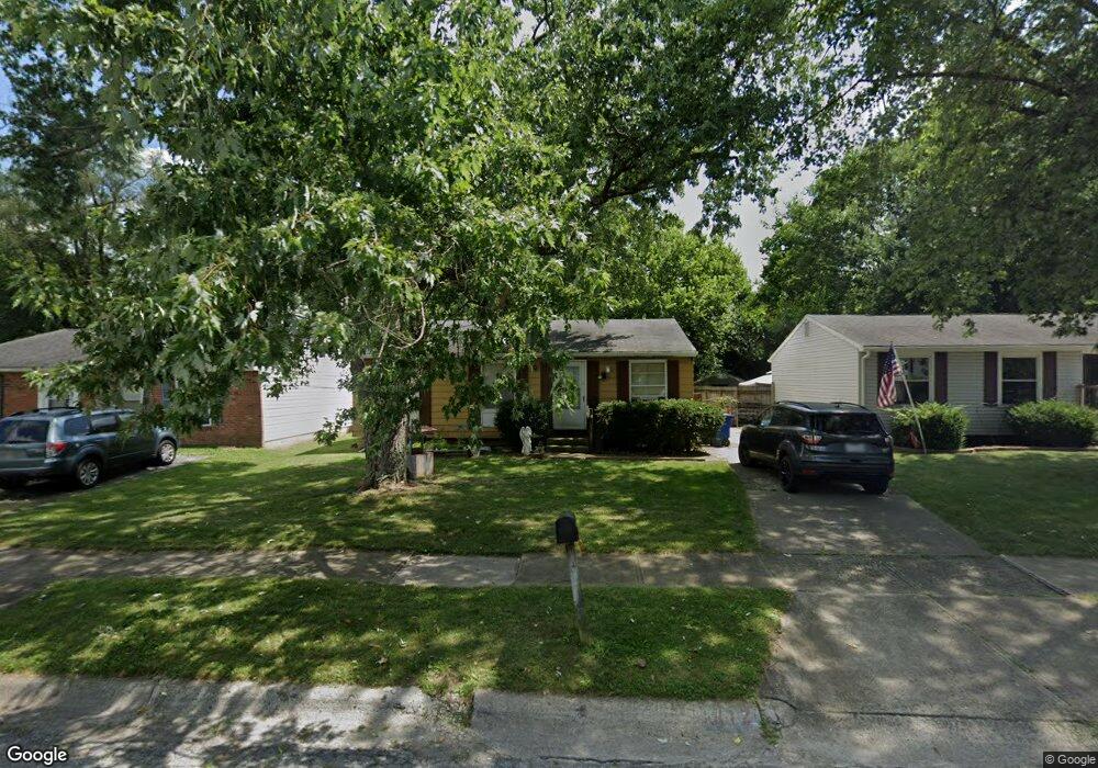
1812 Ripplebrook Rd Columbus, OH 43223
Riverbend NeighborhoodEstimated Value: $175,758 - $198,000
3
Beds
1
Bath
884
Sq Ft
$213/Sq Ft
Est. Value
About This Home
This home is located at 1812 Ripplebrook Rd, Columbus, OH 43223 and is currently estimated at $188,440, approximately $213 per square foot. 1812 Ripplebrook Rd is a home located in Franklin County with nearby schools including James A Harmon Elementary School, Franklin Woods Intermediate School, and Finland Middle School.
Ownership History
Date
Name
Owned For
Owner Type
Purchase Details
Closed on
Jun 27, 1986
Bought by
Longstreth Craig A
Current Estimated Value
Create a Home Valuation Report for This Property
The Home Valuation Report is an in-depth analysis detailing your home's value as well as a comparison with similar homes in the area
Home Values in the Area
Average Home Value in this Area
Purchase History
| Date | Buyer | Sale Price | Title Company |
|---|---|---|---|
| Longstreth Craig A | $32,000 | -- |
Source: Public Records
Tax History Compared to Growth
Tax History
| Year | Tax Paid | Tax Assessment Tax Assessment Total Assessment is a certain percentage of the fair market value that is determined by local assessors to be the total taxable value of land and additions on the property. | Land | Improvement |
|---|---|---|---|---|
| 2024 | $1,968 | $52,610 | $16,100 | $36,510 |
| 2023 | $1,933 | $52,610 | $16,100 | $36,510 |
| 2022 | $1,535 | $30,660 | $8,400 | $22,260 |
| 2021 | $1,566 | $30,660 | $8,400 | $22,260 |
| 2020 | $1,558 | $30,660 | $8,400 | $22,260 |
| 2019 | $1,460 | $25,340 | $7,000 | $18,340 |
| 2018 | $1,366 | $25,340 | $7,000 | $18,340 |
| 2017 | $1,448 | $25,340 | $7,000 | $18,340 |
| 2016 | $1,279 | $20,550 | $4,620 | $15,930 |
| 2015 | $1,279 | $20,550 | $4,620 | $15,930 |
| 2014 | $1,280 | $20,550 | $4,620 | $15,930 |
| 2013 | $706 | $22,855 | $5,145 | $17,710 |
Source: Public Records
Map
Nearby Homes
- 3206 Andy Terrace
- 1830 Winding Hollow Dr
- 1657 Ripplebrook Rd
- 2930 Alkire Rd
- 3326 Bluhm Ct
- 2062 Summer Banks Dr
- 3488 Rocky Rd
- 1485 Demorest Rd
- 3623 High Creek Dr
- 2188 Dry Ridge Ct
- 2800 Alkire Rd
- 1465 Tall Meadows Dr
- 2155 Pentress Dr
- 1612 Green Friar Dr
- 3728 Miltonsburg Dr
- 3728 Greenock Ct
- 3766 Dunlane Ct
- 1520 Fall Brook Rd
- 2157 Hierarch Ct
- 1226 Pinnacle Dr
- 1818 Ripplebrook Rd
- 1800 Ripplebrook Rd
- 1824 Ripplebrook Rd
- 1792 Ripplebrook Rd
- 1786 Rivermont Rd
- 1805 Aggie Ct
- 1830 Ripplebrook Rd
- 1793 Rivermont Rd
- 1784 Ripplebrook Rd
- 3572 Rockledge Dr
- 1778 Rivermont Rd
- 1811 Aggie Ct
- 1777 Ripplebrook Rd
- 3571 Rockledge Dr
- 1776 Ripplebrook Rd
- 1769 Ripplebrook Rd
- 3580 Rockledge Dr
- 3577 Rockledge Dr
- 1785 Rivermont Rd
- 1817 Aggie Ct