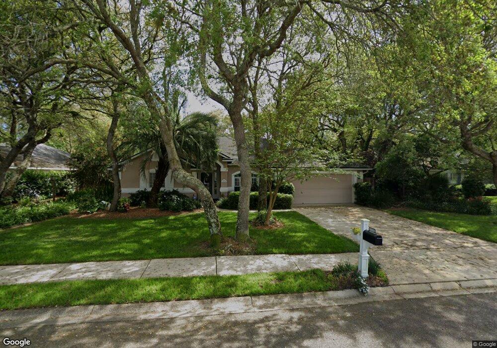
1812 Sea Oats Ave Unit 1 Fernandina Beach, FL 32034
Estimated Value: $652,000 - $737,000
4
Beds
2
Baths
2,352
Sq Ft
$293/Sq Ft
Est. Value
About This Home
This home is located at 1812 Sea Oats Ave Unit 1, Fernandina Beach, FL 32034 and is currently estimated at $690,127, approximately $293 per square foot. 1812 Sea Oats Ave Unit 1 is a home located in Nassau County with nearby schools including Southside Elementary School, Emma Love Hardee Elementary School, and Fernandina Beach Middle School.
Ownership History
Date
Name
Owned For
Owner Type
Purchase Details
Closed on
Aug 20, 2003
Sold by
Hunt Todd Lee and Hunt Christina Skelton
Bought by
Barrett Phyllis M
Current Estimated Value
Home Financials for this Owner
Home Financials are based on the most recent Mortgage that was taken out on this home.
Original Mortgage
$100,000
Outstanding Balance
$43,715
Interest Rate
5.52%
Mortgage Type
Purchase Money Mortgage
Estimated Equity
$646,412
Create a Home Valuation Report for This Property
The Home Valuation Report is an in-depth analysis detailing your home's value as well as a comparison with similar homes in the area
Home Values in the Area
Average Home Value in this Area
Purchase History
| Date | Buyer | Sale Price | Title Company |
|---|---|---|---|
| Barrett Phyllis M | $248,000 | -- |
Source: Public Records
Mortgage History
| Date | Status | Borrower | Loan Amount |
|---|---|---|---|
| Open | Barrett Phyllis M | $100,000 |
Source: Public Records
Tax History Compared to Growth
Tax History
| Year | Tax Paid | Tax Assessment Tax Assessment Total Assessment is a certain percentage of the fair market value that is determined by local assessors to be the total taxable value of land and additions on the property. | Land | Improvement |
|---|---|---|---|---|
| 2024 | $3,434 | $259,953 | -- | -- |
| 2023 | $3,434 | $252,382 | $0 | $0 |
| 2022 | $3,113 | $245,031 | $0 | $0 |
| 2021 | $3,145 | $237,894 | $0 | $0 |
| 2020 | $3,138 | $234,609 | $0 | $0 |
| 2019 | $3,093 | $229,334 | $0 | $0 |
| 2018 | $3,061 | $225,058 | $0 | $0 |
| 2017 | $2,788 | $220,429 | $0 | $0 |
| 2016 | $2,760 | $215,895 | $0 | $0 |
| 2015 | $2,788 | $214,394 | $0 | $0 |
| 2014 | $2,776 | $212,692 | $0 | $0 |
Source: Public Records
Map
Nearby Homes
- 1918 Sea Oats Ave
- 96025 Sea Breeze Way
- 2881 Landyns Cir
- 2133 Taurus Ct
- 1401 Fountain Dr
- 96147 Montego Bay
- 2674 Robert Oliver Ave
- 1908 Springbrook Rd
- 1917 Lakeside Dr S
- 2700 Mizell Ave Unit 203B
- 2700 Mizell Ave Unit 504A
- 2700 Mizell Ave Unit 403A
- 2850 1st Ave
- 2105 Purcell Dr
- 2805 S Fletcher Ave
- 884 Robinhood Dr
- 2826 Amelia Rd
- 2636 1st Ave
- 2552 Pirates Bay Dr
- 3165 First Unit #15 Ave
- 1820 Sea Oats Ave
- 1804 Sea Oats Ave Unit 1
- 1843 Windswept Oak Ln
- 1901 Windswept Oak Ln
- 1831 Windswept Oak Ln
- 1910 Sea Oats Ave
- 1821 Sea Oats Ave
- 1913 Windswept Oak Ln
- 1813 Sea Oats Ave
- 1905 Sea Oats Ave
- 1917 Sea Oats Ave
- 1921 Windswept Oak Ln
- 2819 Tidewater St
- 1900 Windswept Oak Ln
- 2803 Tidewater St
- 2827 Tidewater St
- 1830 Windswept Oak Ln
- 1923 Sea Oats Ave
- 1846 Windswept Oak Ln