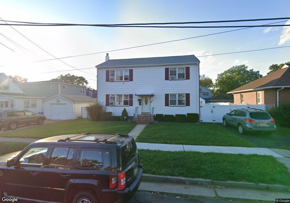
1813 Caroline Ave Linden, NJ 07036
Estimated Value: $475,000 - $714,000
--
Bed
--
Bath
1,868
Sq Ft
$331/Sq Ft
Est. Value
About This Home
This home is located at 1813 Caroline Ave, Linden, NJ 07036 and is currently estimated at $618,307, approximately $330 per square foot. 1813 Caroline Ave is a home located in Union County with nearby schools including School No. 4, Joseph E. Soehl Middle School, and Linden High School.
Ownership History
Date
Name
Owned For
Owner Type
Purchase Details
Closed on
Nov 10, 1999
Sold by
Hauser Elizabeth and Baumann Mary
Bought by
Delacruz Jesus and Lino Luis
Current Estimated Value
Home Financials for this Owner
Home Financials are based on the most recent Mortgage that was taken out on this home.
Original Mortgage
$190,000
Interest Rate
7.68%
Mortgage Type
Stand Alone First
Create a Home Valuation Report for This Property
The Home Valuation Report is an in-depth analysis detailing your home's value as well as a comparison with similar homes in the area
Home Values in the Area
Average Home Value in this Area
Purchase History
| Date | Buyer | Sale Price | Title Company |
|---|---|---|---|
| Delacruz Jesus | $200,000 | Chicago Title Insurance Co |
Source: Public Records
Mortgage History
| Date | Status | Borrower | Loan Amount |
|---|---|---|---|
| Previous Owner | Delacruz Jesus | $190,000 |
Source: Public Records
Tax History Compared to Growth
Tax History
| Year | Tax Paid | Tax Assessment Tax Assessment Total Assessment is a certain percentage of the fair market value that is determined by local assessors to be the total taxable value of land and additions on the property. | Land | Improvement |
|---|---|---|---|---|
| 2025 | $11,518 | $163,800 | $53,600 | $110,200 |
| 2024 | $11,266 | $163,800 | $53,600 | $110,200 |
| 2023 | $11,266 | $163,800 | $53,600 | $110,200 |
| 2022 | $11,325 | $163,800 | $53,600 | $110,200 |
| 2021 | $11,382 | $163,800 | $53,600 | $110,200 |
| 2020 | $11,322 | $163,800 | $53,600 | $110,200 |
| 2019 | $11,284 | $163,800 | $53,600 | $110,200 |
| 2018 | $11,281 | $163,800 | $53,600 | $110,200 |
| 2017 | $11,037 | $163,800 | $53,600 | $110,200 |
| 2016 | $10,690 | $163,800 | $53,600 | $110,200 |
| 2015 | $10,282 | $163,800 | $53,600 | $110,200 |
| 2014 | $10,082 | $163,800 | $53,600 | $110,200 |
Source: Public Records
Map
Nearby Homes
- 318 Garfield St
- 423 Bernard Ave
- 419 Bernard Ave
- 109 Garfield St
- 119 Grant St
- 117 Grant St
- 308 Hagel Ave
- 2050 E Saint Georges Ave
- 13 Carolyn Terrace Unit A
- 1005 Nora Dr
- 2132 Alberta Ave
- 2139 Dill Ave
- 515 Richford Terrace Unit 24
- 12 Watson Ave
- 761 Cedar Ave
- 747 Rahway Ave Unit 49
- 1215 Bergen Ave
- 827 Murray St Unit 829
- 1107 Drake Ave
- 747 Vine St
- 1819 Caroline Ave
- 406 Garfield St
- 1805 Caroline Ave
- 412 Garfield St
- 1812 Dill Ave
- 1820 Dill Ave
- 1808 Dill Ave
- 1825 Caroline Ave
- 1800 Dill Ave
- 416 Alexander Ave
- 1812 Caroline Ave
- 1816 Caroline Ave
- 314 Garfield St
- 1820 Caroline Ave
- 1830 Dill Ave
- 1826 Caroline Ave
- 1833 Caroline Ave
- 405 Garfield St
- 407 Garfield St
- 312 Garfield St