Estimated Value: $574,000 - $587,000
3
Beds
3
Baths
1,442
Sq Ft
$402/Sq Ft
Est. Value
About This Home
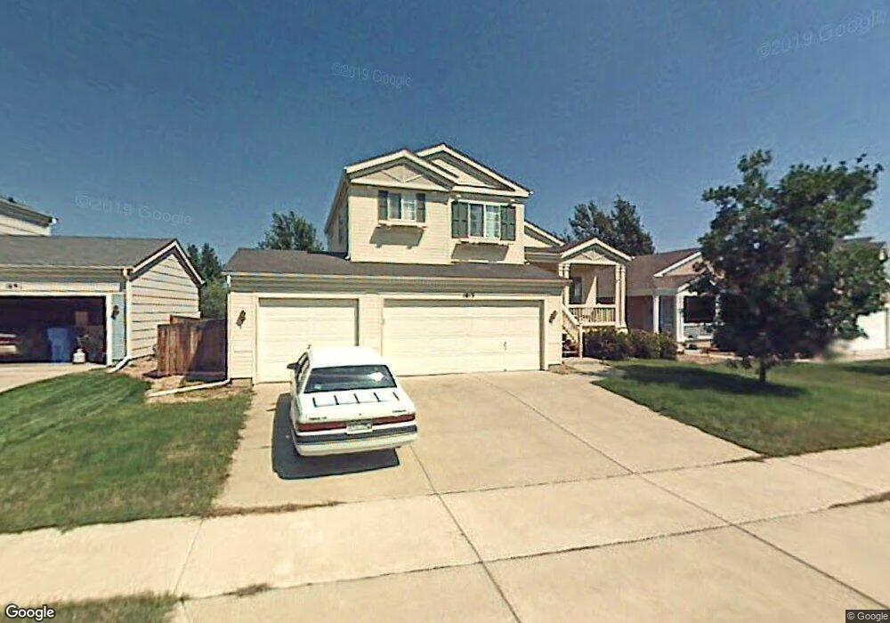
This home is located at 1813 Clark Dr, Erie, CO 80516 and is currently estimated at $579,442, approximately $401 per square foot. 1813 Clark Dr is a home located in Boulder County with nearby schools including Red Hawk Elementary School, Erie Middle School, and Erie High School.
Ownership History
Date
Name
Owned For
Owner Type
Purchase Details
Closed on
Jul 31, 2015
Sold by
Beeler Joseph G
Bought by
1813 Clark Drive Llc
Current Estimated Value
Purchase Details
Closed on
Dec 19, 2014
Sold by
1813 Clark Drive Llc
Bought by
Beeler Joseph G
Home Financials for this Owner
Home Financials are based on the most recent Mortgage that was taken out on this home.
Original Mortgage
$132,210
Interest Rate
4.05%
Mortgage Type
New Conventional
Purchase Details
Closed on
Aug 27, 2009
Sold by
Beeler Joseph G
Bought by
1813 Clark Drive Llc
Purchase Details
Closed on
Apr 12, 1999
Sold by
Johnson Communities Inc
Bought by
Beeler Joseph G
Home Financials for this Owner
Home Financials are based on the most recent Mortgage that was taken out on this home.
Original Mortgage
$142,750
Interest Rate
7.06%
Create a Home Valuation Report for This Property
The Home Valuation Report is an in-depth analysis detailing your home's value as well as a comparison with similar homes in the area
Home Values in the Area
Average Home Value in this Area
Purchase History
| Date | Buyer | Sale Price | Title Company |
|---|---|---|---|
| 1813 Clark Drive Llc | -- | None Available | |
| Beeler Joseph G | -- | Stewart Title | |
| 1813 Clark Drive Llc | -- | None Available | |
| Beeler Joseph G | $178,451 | Land Title |
Source: Public Records
Mortgage History
| Date | Status | Borrower | Loan Amount |
|---|---|---|---|
| Previous Owner | Beeler Joseph G | $132,210 | |
| Previous Owner | Beeler Joseph G | $142,750 | |
| Closed | Beeler Joseph G | $17,800 |
Source: Public Records
Tax History Compared to Growth
Tax History
| Year | Tax Paid | Tax Assessment Tax Assessment Total Assessment is a certain percentage of the fair market value that is determined by local assessors to be the total taxable value of land and additions on the property. | Land | Improvement |
|---|---|---|---|---|
| 2025 | $3,923 | $34,763 | $10,500 | $24,263 |
| 2024 | $3,923 | $34,763 | $10,500 | $24,263 |
| 2023 | $3,879 | $34,250 | $13,949 | $23,986 |
| 2022 | $3,249 | $27,446 | $8,792 | $18,654 |
| 2021 | $3,306 | $28,236 | $9,045 | $19,191 |
| 2020 | $3,214 | $27,514 | $4,362 | $23,152 |
| 2019 | $3,206 | $27,514 | $4,362 | $23,152 |
| 2018 | $2,785 | $23,861 | $6,984 | $16,877 |
| 2017 | $2,659 | $26,379 | $7,721 | $18,658 |
| 2016 | $2,491 | $21,826 | $7,482 | $14,344 |
| 2015 | $2,391 | $18,523 | $8,358 | $10,165 |
| 2014 | $2,083 | $18,523 | $8,358 | $10,165 |
Source: Public Records
Map
Nearby Homes
- 375 Tynan Dr
- 1665 Bain Dr
- 688 Brennan Cir
- 1673 Bain Dr
- 671 Brennan Cir
- 549 Brennan Cir
- 1600 Bain Dr
- 225 Maplewood Dr
- 717 Mcclure Ct
- 1517 Stanley Dr
- 644 N Beshear Ct
- 993 Stanley Ct
- 1416 Stockton Dr
- 700 S Beshear Ct
- 1386 Avgare Way
- 873 Mcclure Way
- 1600 Brimble Dr
- 1270 Hoffman Dr
- 612 Apex St
- 936 Weston Cir