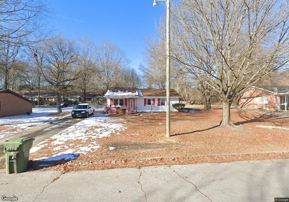
1813 Daniel St Roanoke Rapids, NC 27870
Estimated Value: $102,000 - $122,000
3
Beds
1
Bath
988
Sq Ft
$110/Sq Ft
Est. Value
About This Home
This home is located at 1813 Daniel St, Roanoke Rapids, NC 27870 and is currently estimated at $108,277, approximately $109 per square foot. 1813 Daniel St is a home located in Halifax County with nearby schools including Aurelian Springs Elementary School, William R. Davie Middle School, and Northwest Halifax High School.
Ownership History
Date
Name
Owned For
Owner Type
Purchase Details
Closed on
Mar 29, 2007
Sold by
Roanoke Rapids Housing Authority
Bought by
Pierce Vernice L
Current Estimated Value
Home Financials for this Owner
Home Financials are based on the most recent Mortgage that was taken out on this home.
Original Mortgage
$71,500
Outstanding Balance
$48,448
Interest Rate
6.1%
Mortgage Type
USDA
Estimated Equity
$59,829
Purchase Details
Closed on
Aug 30, 2006
Sold by
Newell Carey Lynn
Bought by
Roanoke Rapids Housing Authority
Create a Home Valuation Report for This Property
The Home Valuation Report is an in-depth analysis detailing your home's value as well as a comparison with similar homes in the area
Purchase History
| Date | Buyer | Sale Price | Title Company |
|---|---|---|---|
| Pierce Vernice L | $71,500 | None Available | |
| Roanoke Rapids Housing Authority | $31,339 | None Available |
Source: Public Records
Mortgage History
| Date | Status | Borrower | Loan Amount |
|---|---|---|---|
| Open | Pierce Vernice L | $71,500 |
Source: Public Records
Tax History
| Year | Tax Paid | Tax Assessment Tax Assessment Total Assessment is a certain percentage of the fair market value that is determined by local assessors to be the total taxable value of land and additions on the property. | Land | Improvement |
|---|---|---|---|---|
| 2025 | $13 | $65,600 | $6,700 | $58,900 |
| 2024 | $13 | $65,600 | $6,700 | $58,900 |
| 2023 | $1,088 | $50,800 | $6,700 | $44,100 |
| 2022 | $1,064 | $49,400 | $6,700 | $42,700 |
| 2021 | $1,017 | $49,400 | $6,700 | $42,700 |
| 2020 | $1,009 | $49,400 | $6,700 | $42,700 |
| 2019 | $868 | $39,800 | $6,700 | $33,100 |
| 2018 | $847 | $39,800 | $6,700 | $33,100 |
| 2017 | $837 | $39,800 | $6,700 | $33,100 |
| 2016 | $833 | $39,800 | $6,700 | $33,100 |
| 2015 | $796 | $39,800 | $6,700 | $33,100 |
| 2014 | $831 | $44,840 | $8,290 | $36,550 |
Source: Public Records
Map
Nearby Homes
- 0 Hwy 158 Unit 140723
- Tbd Hwy 158
- TBD Hwy 158 Church Carter St
- 1914 Glover St
- 1426 W Circle Dr
- 1410 W Chaloner Dr
- 410 Sunset Ave
- 289 Davie Smith St
- 1206 Hamilton St
- 1432 Marshall St
- 703 Andrews St
- 909 Monroe St
- 2077, 91 W 10th St
- 1203 W 10th St
- 600 E 13th St
- 1033 Jefferson St
- 906 Rapids St
- 817 Vance St
- 1412 Carolina Ave
- 712 E 13th St
Your Personal Tour Guide
Ask me questions while you tour the home.