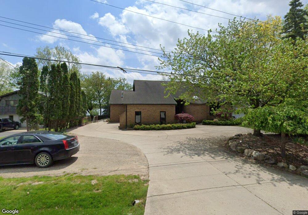
1813 Long Pointe Dr Unit Bldg-Unit Bloomfield Hills, MI 48302
Estimated Value: $1,157,000 - $2,329,000
5
Beds
5
Baths
3,550
Sq Ft
$447/Sq Ft
Est. Value
About This Home
This home is located at 1813 Long Pointe Dr Unit Bldg-Unit, Bloomfield Hills, MI 48302 and is currently estimated at $1,587,823, approximately $447 per square foot. 1813 Long Pointe Dr Unit Bldg-Unit is a home located in Oakland County with nearby schools including Walt Whitman Elementary School, Pontiac Middle School, and Pontiac High School.
Ownership History
Date
Name
Owned For
Owner Type
Purchase Details
Closed on
Oct 18, 2019
Sold by
Lewis David and Lewis Scott
Bought by
Duncan John D and Duncan Karen M
Current Estimated Value
Home Financials for this Owner
Home Financials are based on the most recent Mortgage that was taken out on this home.
Original Mortgage
$764,915
Outstanding Balance
$672,821
Interest Rate
3.7%
Mortgage Type
New Conventional
Estimated Equity
$915,002
Purchase Details
Closed on
Aug 29, 2017
Sold by
Aberly Noreen
Bought by
Aberly Noreen and Lewis David
Create a Home Valuation Report for This Property
The Home Valuation Report is an in-depth analysis detailing your home's value as well as a comparison with similar homes in the area
Home Values in the Area
Average Home Value in this Area
Purchase History
| Date | Buyer | Sale Price | Title Company |
|---|---|---|---|
| Duncan John D | $850,000 | None Available | |
| Aberly Noreen | -- | None Available |
Source: Public Records
Mortgage History
| Date | Status | Borrower | Loan Amount |
|---|---|---|---|
| Open | Duncan John D | $764,915 |
Source: Public Records
Tax History Compared to Growth
Tax History
| Year | Tax Paid | Tax Assessment Tax Assessment Total Assessment is a certain percentage of the fair market value that is determined by local assessors to be the total taxable value of land and additions on the property. | Land | Improvement |
|---|---|---|---|---|
| 2024 | $8,649 | $515,440 | $0 | $0 |
| 2023 | $8,252 | $473,690 | $0 | $0 |
| 2022 | $14,284 | $457,440 | $0 | $0 |
| 2021 | $18,534 | $593,320 | $0 | $0 |
| 2020 | $10,230 | $580,070 | $0 | $0 |
| 2019 | $10,912 | $558,720 | $0 | $0 |
| 2018 | $10,670 | $551,060 | $0 | $0 |
| 2017 | $10,515 | $529,520 | $0 | $0 |
| 2016 | $10,511 | $489,280 | $0 | $0 |
| 2015 | -- | $477,740 | $0 | $0 |
| 2014 | -- | $436,380 | $0 | $0 |
| 2011 | -- | $352,150 | $0 | $0 |
Source: Public Records
Map
Nearby Homes
- 1831 Long Pointe Dr
- 2779 Turtle Lake Dr
- 2759 Turtle Ridge Dr
- 2785 Turtle Lake Dr
- 2707 Turtle Lake Dr
- 1772 Heron Ridge Dr
- 1744 Heron Ridge Dr
- 2756 Turtle Bluff Dr
- 2121 Uplong St
- 1735 Heron Ridge Dr
- 1729 Heron Ridge Dr
- 2670 Turtle Lake Dr
- 1723 Heron Ridge Dr
- 2717 Turtle Shores Dr
- 2717 Turtle Shores Ranch Dr
- 2630 Turtle Lake Dr
- 2623 Turtle Shores
- 2657 Turtle Shores Dr
- 2633 Turtle Shores Dr
- 2629 Turtle Shores Dr
- 1813 Long Pointe Dr
- 1807 Long Pointe Dr
- 1819 Long Pointe Dr
- 1825 Long Pointe Dr Unit Bldg-Unit
- 1825 Long Pointe Dr
- 1810 Long Pointe Dr
- 2767 Turtle Lake Dr
- 1820 Long Pointe Dr
- 1802 Long Pointe Dr
- 2773 Turtle Lake Dr
- 1830 Long Pointe Dr
- 2761 Turtle Lake Dr
- 2761 Turtle Lake Dr Unit Bldg-Unit
- 2761 Turtle Lake Dr Unit 61
- 1837 Long Pointe Dr
- 1843 Long Pointe Dr
- 2753 Turtle Lake Dr
- 1840 Long Pointe Dr
- 1847 Packer Rd
- 2737 Turtle Lake Dr