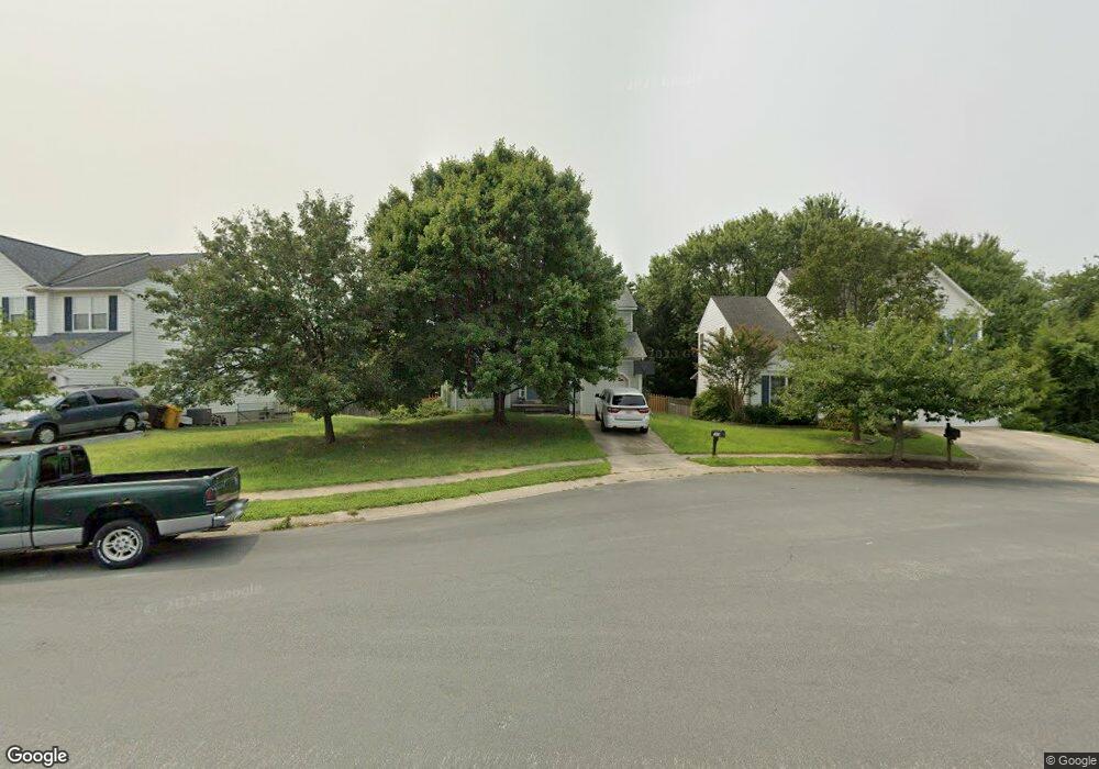
1813 Lorgnette Ct Severn, MD 21144
Estimated Value: $492,000 - $553,000
Studio
3
Baths
1,662
Sq Ft
$318/Sq Ft
Est. Value
About This Home
This home is located at 1813 Lorgnette Ct, Severn, MD 21144 and is currently estimated at $527,862, approximately $317 per square foot. 1813 Lorgnette Ct is a home located in Anne Arundel County with nearby schools including Jessup Elementary School, Meade Middle School, and Meade High School.
Ownership History
Date
Name
Owned For
Owner Type
Purchase Details
Closed on
Oct 31, 2005
Sold by
Talasky Scott M
Bought by
Crosby William and Crosby Shelly
Current Estimated Value
Home Financials for this Owner
Home Financials are based on the most recent Mortgage that was taken out on this home.
Original Mortgage
$362,320
Outstanding Balance
$204,062
Interest Rate
6.5%
Mortgage Type
Adjustable Rate Mortgage/ARM
Estimated Equity
$323,800
Purchase Details
Closed on
Apr 14, 1993
Sold by
Ryland Group, Inc
Bought by
Talasky Scott M
Home Financials for this Owner
Home Financials are based on the most recent Mortgage that was taken out on this home.
Original Mortgage
$156,200
Interest Rate
7.57%
Purchase Details
Closed on
Dec 7, 1992
Sold by
Woodbridge Construction Corp
Bought by
Ryland Group, Inc
Create a Home Valuation Report for This Property
The Home Valuation Report is an in-depth analysis detailing your home's value as well as a comparison with similar homes in the area
Home Values in the Area
Average Home Value in this Area
Purchase History
| Date | Buyer | Sale Price | Title Company |
|---|---|---|---|
| Crosby William | $452,900 | -- | |
| Talasky Scott M | $173,600 | -- | |
| Ryland Group, Inc | $125,100 | -- |
Source: Public Records
Mortgage History
| Date | Status | Borrower | Loan Amount |
|---|---|---|---|
| Open | Crosby William | $362,320 | |
| Closed | Crosby William | $90,580 | |
| Previous Owner | Talasky Scott M | $156,200 |
Source: Public Records
Tax History
| Year | Tax Paid | Tax Assessment Tax Assessment Total Assessment is a certain percentage of the fair market value that is determined by local assessors to be the total taxable value of land and additions on the property. | Land | Improvement |
|---|---|---|---|---|
| 2025 | $4,874 | $423,800 | $193,400 | $230,400 |
| 2024 | $4,874 | $399,267 | $0 | $0 |
| 2023 | $4,566 | $374,733 | $0 | $0 |
| 2022 | $4,090 | $350,200 | $168,400 | $181,800 |
| 2020 | $3,920 | $337,733 | $0 | $0 |
| 2019 | $3,858 | $331,500 | $146,500 | $185,000 |
| 2018 | $3,303 | $325,733 | $0 | $0 |
| 2017 | $3,643 | $319,967 | $0 | $0 |
| 2016 | -- | $314,200 | $0 | $0 |
| 2015 | -- | $303,333 | $0 | $0 |
| 2014 | -- | $292,467 | $0 | $0 |
Source: Public Records
Map
Nearby Homes
- 1805 Montreal Rd
- 1816 Lasalle Place
- 1842 Statesman Ct
- 1883 Cedar Dr
- 1610 Stream Valley Overlook
- 7886 Huguenot Ct
- 7958 Citadel Dr
- 7926 Tower Court Rd
- 7920 Innkeeper Dr
- 1833 Watch House Cir S
- 1407 Cowsill Dr
- 1814 Watch House Cir N
- 7974 Heather Mist Dr Unit 85
- 1313 Grand Canopy Dr
- 8238 Saint Francis Dr
- 7954 Heather Mist Dr
- 8241 Saint Francis Dr
- 1805 Chatfield Terrace
- 7951 Heather Mist Dr
- 1822 Triple Feather Rd
- 1811 Lorgnette Ct
- 1815 Lorgnette Ct
- 1809 Lorgnette Ct
- 1812 Cruet Ln
- 1810 Cruet Ln
- 1814 Lorgnette Ct
- 1807 Lorgnette Ct
- 1808 Lorgnette Ct
- 1810 Lorgnette Ct
- 1806 Lorgnette Ct
- 1808 Cruet Ln
- 1812 Lorgnette Ct
- 1812 Montreal Rd
- 1804 Lorgnette Ct
- 1805 Lorgnette Ct
- 1814 Montreal Rd
- 1810 Montreal Rd
- 1802 Lorgnette Ct
- 1816 Montreal Rd
- 1809 Manet Ct
Your Personal Tour Guide
Ask me questions while you tour the home.