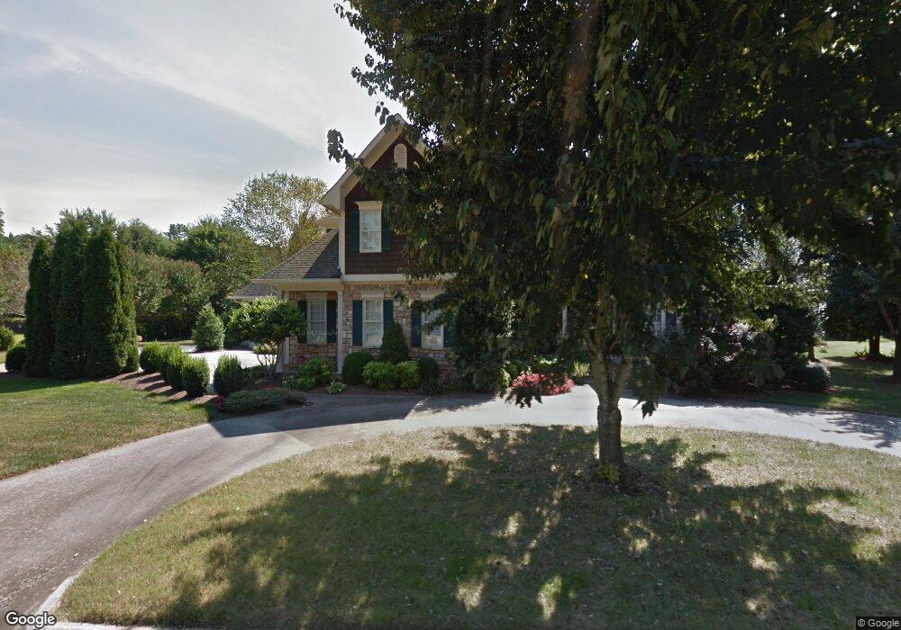
1813 Marthas Bridge Rd Dalton, GA 30720
Estimated Value: $611,684 - $742,000
--
Bed
4
Baths
3,232
Sq Ft
$208/Sq Ft
Est. Value
About This Home
This home is located at 1813 Marthas Bridge Rd, Dalton, GA 30720 and is currently estimated at $672,421, approximately $208 per square foot. 1813 Marthas Bridge Rd is a home located in Whitfield County with nearby schools including Brookwood Elementary School, Dalton Middle School, and Dalton High School.
Ownership History
Date
Name
Owned For
Owner Type
Purchase Details
Closed on
Feb 24, 2006
Sold by
Cline Michael
Bought by
Smith Charles M
Current Estimated Value
Home Financials for this Owner
Home Financials are based on the most recent Mortgage that was taken out on this home.
Original Mortgage
$270,000
Outstanding Balance
$151,509
Interest Rate
6.05%
Mortgage Type
New Conventional
Estimated Equity
$520,912
Purchase Details
Closed on
Jan 1, 1999
Bought by
Cline Michael and Cline Brenda
Create a Home Valuation Report for This Property
The Home Valuation Report is an in-depth analysis detailing your home's value as well as a comparison with similar homes in the area
Home Values in the Area
Average Home Value in this Area
Purchase History
| Date | Buyer | Sale Price | Title Company |
|---|---|---|---|
| Smith Charles M | $530,000 | -- | |
| Cline Michael | $62,500 | -- |
Source: Public Records
Mortgage History
| Date | Status | Borrower | Loan Amount |
|---|---|---|---|
| Open | Smith Charles M | $270,000 |
Source: Public Records
Tax History Compared to Growth
Tax History
| Year | Tax Paid | Tax Assessment Tax Assessment Total Assessment is a certain percentage of the fair market value that is determined by local assessors to be the total taxable value of land and additions on the property. | Land | Improvement |
|---|---|---|---|---|
| 2024 | $3,784 | $248,722 | $31,200 | $217,522 |
| 2023 | $3,784 | $193,423 | $21,600 | $171,823 |
| 2022 | $5,565 | $168,968 | $34,400 | $134,568 |
| 2021 | $5,573 | $168,968 | $34,400 | $134,568 |
| 2020 | $5,778 | $168,968 | $34,400 | $134,568 |
| 2019 | $5,953 | $168,968 | $34,400 | $134,568 |
| 2018 | $6,037 | $168,968 | $34,400 | $134,568 |
| 2017 | $5,805 | $168,968 | $34,400 | $134,568 |
| 2016 | $5,216 | $151,791 | $29,400 | $122,391 |
| 2014 | $4,348 | $138,678 | $29,400 | $109,278 |
| 2013 | -- | $138,677 | $29,400 | $109,277 |
Source: Public Records
Map
Nearby Homes
- 1709 Dug Gap Rd
- 0 Horizon Ct Unit 130497
- 0 Horizon Ct Unit 130499
- 0 Horizon Ct Unit 130479
- 0 Horizon Ct Unit 130477
- 0 Horizon Ct Unit 130478
- 0 Horizon Ct Unit 130496
- 0 Horizon Ct Unit 130498
- 1901 Keystone Way
- 1913 Tara Place
- 1603 Habersham Way
- 1704 Southmont Dr
- 1702 Elaine Way
- 1506 Summer Gate Way
- 1506 Summer Gate Way Unit 8
- 702 Courtland Dr
- 1411 Rosewood Cir
- 1410 Rosewood Cir Unit 46
- 1410 Rosewood Cir Unit 45
- 1410 Rosewood Cir
- LOT 10 Marthas Bridge Rd
- 0 Marthas Bridge Rd
- 0 Martha's Bridge Rd Unit 8317512
- 0 Martha's Bridge Rd
- 1804 Ryman Ridge Rd
- 1815 Marthas Bridge Rd
- 1814 Marthas Bridge Rd
- 1812 Marthas Bridge Rd
- 1816 Marthas Bridge Rd
- 1802 Ryman Ridge Rd
- 1808 Ryman Ridge Rd
- 1805 Ryman Ridge Rd
- 1805 Marthas Bridge Rd
- 1810 Marthas Bridge Rd
- 00 Richland Ln
- 1818 Marthas Bridge Rd
- 1803 Ryman Ridge Rd
- 1805 Oakmont Dr
- 1800 Ryman Ridge Rd
- 1803 Oakmont Dr